Extreme Temperatures
S


Snowflake

Asir region of Saudi Arabia gets covered in snow

The region experienced rain and snow for six hours.
The Asir region of Saudi Arabia was covered with snow as the weather witnessed a change in temperature, Saudi news Agency SPA reported on Tuesday.

For six hours, the region experienced rain and snow, which covered the mountains and roads in white including the Al Hussein and Al Omar valleys.


Snowflake Cold

Depth of snow in the Alps hits 7 metres, Swiss ski resort gets 5 feet of snowfall in 7 days

Alps
Snow depths in the Alps have passed the 7m mark for what is believed to be the first time in many years.

Engelberg in Switzerland, which has reported the deepest base in the world for much of winter 17-18, somewhere above 6m/20 feet, reported 145cm (just under five feet) of snowfall in the past 7 days, again the biggest total for the Alps this week, and now reports its upper slope base at 7.4m - nearly 25 feet.

The resort is open for snow sports to mid-May.

Info

The destruction of ancient Rome - The barbarians were not responsible

Destruction of Rome
© Malaga Bay
Rodolfo Lanciani was an archaeologist who produced "unsurpassed" plans of Ancient Rome.
Rodolfo Amedeo Lanciani (1845 - 1929) was an Italian archaeologist, a pioneering student of ancient Roman topography, and among his many excavations was that of the House of the Vestals in the Roman Forum.

Ancient Rome
© Malaga Bay
Lanciani's great work was the production of a map of the ancient city of Rome.

The work was realized as a set of 46 very detailed maps of ancient Rome issued in 1893-1901, which remains unsurpassed to this day, even if there have been many new discoveries since.

https://en.wikipedia.org/wiki/Rodolfo_Lanciani
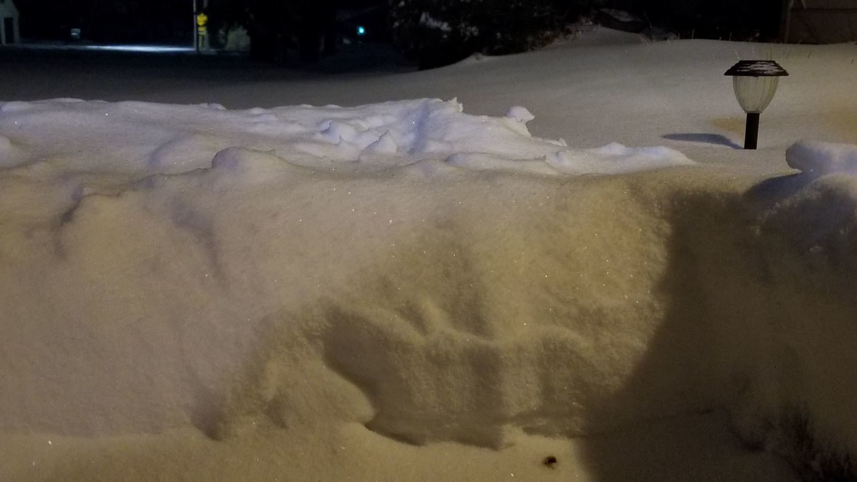
Ice Cube

America's North East continues to be battered by storms - with 'Spring snow' to follow

A storm is developing in the central Plains Sunday and rapidly moving off to the east.
© ABCA storm is developing in the central Plains Sunday and rapidly moving off to the east.
The first storm of the holiday weekend moved through the upper Midwest on Saturday bringing as much as a foot of snow in northern Minnesota. Now another storm is developing in the central Plains Sunday and rapidly moving to the east -- with snow likely from Nebraska to Ohio on Easter Sunday.

Snow will reach Missouri and Illinois by the early evening hours, and then move into Indiana and Ohio by Sunday night. Occasional heavy bursts of snow are likely, which will reduce visibility. Although the snow will have some difficulty sticking to roadways, slick and treacherous spots will develop in the region Sunday evening, and travel will be impacted.

Comment: This will be perhaps the fifth Nor'Easter after a string of other storms to hit the US in just under two months: Fourth Nor'easter this month to bring snow and on the first day of Spring - and we can expect more to come

And it's not just the US experiencing unusual cold:


Snowflake Cold

Cold weather records broken for 11 communities in Saskatchewan, Canada - some more than 100 years old

cold
Environment Canada said a total of 11 communities broke cold weather records Good Friday and Saturday.

Based on preliminary information, Moose Jaw and Prince Albert eclipsed marks that were more than 100 years old.

Saturday morning, Assiniboia, Kindersley, Moose Jaw, Rosetown and Weyburn all set new record lows.

ASSINIBOIA
New Record of -22.1
Old Record of -20.0 set in 1975

KINDERSLEY
New Record of -23.0
Old Record of -21.7 set in 1975

Comment: See also these other recent reports from elsewhere across Canada: Alberta breaks 80 year records as temperatures drop 15 degrees in minutes

Long cold winter continues for western Canada


Easter Egg

Easter eggs under 10 centimetres of snow in the Doubs, France

snow, eggs, Easter
© ER
Weird Easter egg hunt this Sunday in Chapelle-des-Bois. 10 good centimetres (3.9 inch) of fresh snow, fallen in the night, covered the sweet sweets. But in the commune, we are far from being surprised: "Ten centimetres on April 1st, it is normal in Chapelle-des-Bois. But we knew better, remembers François, a resident. Last year, we had 20 centimeters (7.9 inch) of snow on May 1st!"

Translation Sott. Source.

Ice Cube

Alberta breaks 80 year records as temperatures drop 15 degrees in minutes

Icicles in Calgary March 31, 2018.
Albertans have been dealing with winter-like conditions this Easter long weekend, but some locations have had it worse than others.

According to Environment Canada, three locations - Red Deer, Grande Prairie and Pincher Creek will remember Saturday as the coldest March 31 on record.

A cold front passed through the southwest corner of the province Saturday morning dropping temperatures in places like Cardston by 15 degrees within an hour.

Grande Prairie dropped to -30 C overnight breaking an 83-year-old record. Pincher Creek hit -21 C, edging an 82-year record, and Red Deer hit -22 C, breaking a record low of -19.4 C that was set in 1975.

Comment: All over the planet we're seeing the seasons behaving erratically, and most notably extreme cooling - all signs of an impending ice age:


Snowflake

Adapt 2030 Ice Age Report: European blizzards, UK snows, Norway cliffhangers and golden globes

Fuente del Tesoro
Fuente del Tesoro
SW Russia intense blizzard, more European delayed planting reports. Arctic vortex to split again bringing snow and cold temperature to UK, USA, and Europe. Ice Floes in the Netherlands with avalanche warnings in Norway. The sunset on our society as the Grand Soar Minimum intensifies bringing us iridescent skies and sunset globes of frozen color.


Sources

Snowflake

Spring storm dumps a foot of snowfall on central Minnesota

Mother nature dumped anywhere from 5-9 inches of new snowfall overnight Friday, into Saturday morning, March 31st.
If the official start of spring tricked you into believing we would soon be frolicking in green pastures under the sun, Saturday's overnight snowfall was a sobering reminder that it won't be happening anytime soon.

A fierce snowstorm, combined with strong winds and temperatures significantly below average for this time of year, created treacherous conditions for drivers across much of the state. More than a foot of snow fell in the hardest-hit areas of central Minnesota overnight Friday and early Saturday, according to the National Weather Service in Chanhassen.

The Twin Cities also saw its fair share of snowfall, with 2.8 inches officially recorded at Minneapolis-St. Paul International Airport by morning. More snow fell to just north: 5.5 inches and 6.1 inches were recorded in Andover and St. Cloud, respectively.


Snowflake

Chaotic situation due to snow on the Gotthard in Switzerland

Gothard snow
Heavy snowfalls fell on the plain. However, vehicles can only use the Gotthard Tunnel in dropper mode.

31.03 Night snowfalls in the plain of the canton of Uri made the A2 unusable on Saturday morning.

31.03 Night snowfalls in the plain of the canton of Uri made the A2 unusable on Saturday morning. The highway had to be closed in both directions by the time the snowplows were cleared. The important North-South road link was partially reopened around 8.00 am. However, vehicles could only use the Gotthard Tunnel in dropper mode.

Comment: Yale's Two Climate Bombs Point to Impending Ice Age