Earthquakes
S

Bizarro Earth

USGS: Earthquake Magnitude 7.0 - 132km N of Nebe, Indonesia

Nebe Quake_270215
© USGS
Event Time
  1. 2015-02-27 13:45:05 (UTC)
  2. Times in other timezones
Nearby Cities
  1. 132km (82mi) N of Nebe, Indonesia
  2. 152km (94mi) NNE of Maumere, Indonesia
  3. 198km (123mi) NNE of Ende, Indonesia
  4. 200km (124mi) S of Baubau, Indonesia
  5. 363km (226mi) WNW of Dili, East Timor
Scientific Data

Bizarro Earth

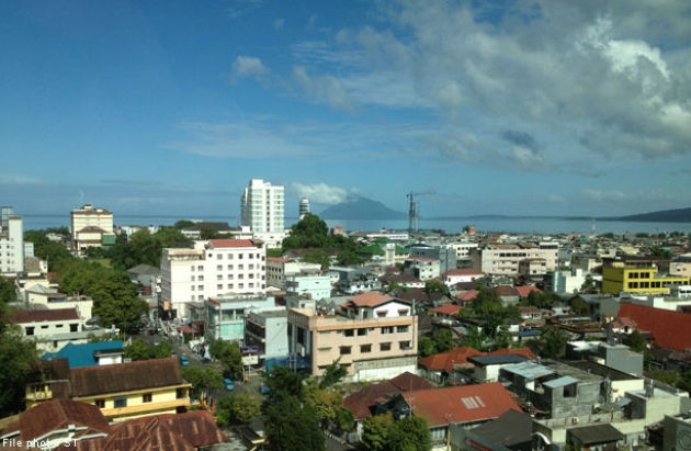
Rare earthquake shakes Kalimantan, Indonesia

Rare Earthquake
© News Asia One
Kalimantan is among the regions in the archipelago known to be free of earthquakes, but a recent series of light to strong quakes recorded in North Kalimantan have shaken that belief.

The latest quake was one recorded measuring 5.7 on the Richter scale that hit Tarakan on Tarakan Island in North Kalimantan at 9.31 a.m. local time on Wednesday.

Meteorology, Climatology and Geophysical Agency (BMKG) Balikpapan station head Mudjianto said the earthquake's epicenter was located in the Sulu Sea, which was closer to cities in the Malaysian state of Sabah, such as Sandakan, Kota Kinabalu, Lahat Datu, Tawau and Beaufort.

Cities in Indonesia that were close to the quake's epicenter were Tarakan on Tarakan Island and Tideng Pale in the Tana Tidung regency, located 432 kilometers away, and Nunukan in the Nunukan regency, located at the border with Sabah and across from Tawau, located 416 km from the epicenter.

"We did not calculate the quake's duration given the distance," said Mudjianto. He added that the duration could only have been recorded had the tremor reached human settlements or human structures. The magnitude of this quake was recorded by sensors owned by BMKG and was not felt on the sea, or on land in Kalimantan, or on the surrounding islands.

Bizarro Earth

USGS: 6.2 magnitude earthquake strikes off southern Japan

map of Japan
Screenshot from Google Maps
A 6.2 magnitude earthquake has struck off the southern coast of Japan, according to the US Geological Survey.

The quake, with its epicenter around 290km (175 miles) southeast of Hachijo-jima, Izu Islands, struck at a depth of 65km (38 miles).


The event comes just hours after another 4.4 quake took place just off the Kuril Islands, disputed with Russia.

The tremors also come a day after another quake struck off the eastern coast, measuring 5.8, with the epicenter about 100km east of the city of Miyako.

Bizarro Earth

USGS: Earthquake Magnitude 6.2 - 211km SW of Tomatlan, Mexico

Tomatlan Quake_220215
© USGS
Event Time
  1. 2015-02-22 14:23:14 (UTC)
  2. Times in other timezones
Nearby Cities
  1. 211km (131mi) SW of Tomatlan, Mexico
  2. 242km (150mi) WSW of Cihuatlan, Mexico
  3. 264km (164mi) W of Manzanillo, Mexico
  4. 267km (166mi) SW of Puerto Vallarta, Mexico
  5. 811km (504mi) W of Mexico City, Mexico
Scientific Data

Bizarro Earth

USGS: Earthquake magnitude 6.2 - 30km ESE of Taitung City, Taiwan

Taitung Quake_130215
© USGS
Event Time
  1. 2015-02-13 20:06:31 (UTC)
  2. Times in other timezones
Nearby Cities
  1. 30km (19mi) ESE of Taitung City, Taiwan
  2. 99km (62mi) NE of Hengchun, Taiwan
  3. 111km (69mi) ESE of Yujing, Taiwan
  4. 113km (70mi) E of Kaohsiung, Taiwan
  5. 747km (464mi) E of Hong Kong, Hong Kong
Scientific Data

Bizarro Earth

USGS: Earthquake Magnitude 7.1 - Northern Mid-Atlantic Ridge

Mid Atlantic Ridge Quake_130215
© USGS
Event Time
  1. 2015-02-13 18:59:11 (UTC)
  2. Times in other timezones
Nearby Cities
  1. 1172km (728mi) SE of Nanortalik, Greenland
  2. 1401km (871mi) SSW of Hafnarfjordur, Iceland
  3. 1406km (874mi) SSW of Kopavogur, Iceland
  4. 1409km (876mi) SSW of Reykjavik, Iceland
  5. 1505km (935mi) W of Tralee, Ireland
Scientific Data

Attention

6.9 magnitude earthquake hits Chile-Argentina border

Image
A magnitude 6.9 earthquake struck northeastern Chile on Wednesday, very close to the border with Argentina, the U.S. Geological Survey said.

The quake, initially reported as a major 7.0, was fairly deep at 157 miles (252 km) below the earth, which should lessen its impact.

Its epicenter was located 111 miles (178 km) northwest of the Argentine town of Jujuy.

Bizarro Earth

USGS: Earthquake Magnitude 6.0 - South of Panama

Panama Quake_050215
© USGS
Event Time
2015-02-05 04:40:54 (UTC)

Times in other timezones

Nearby Cities
  1. 314km (195mi) S of Punta de Burica, Panama
  2. 341km (212mi) S of Puerto Armuelles, Panama
  3. 351km (218mi) S of Pedregal, Panama
  4. 358km (222mi) S of David, Panama
  5. 545km (339mi) SSE of San Jose, Costa Rica
Scientific Data

Bell

USGS: Earthquake Magnitude 6.3 - 87km NW of La Punta, Argentina

La Punta Earthquake 6.3
© USGS
Event Time
2015-02-02 10:49:48 (UTC)

Nearby Cities

87km (54mi) NW of La Punta, Argentina
93km (58mi) NW of San Luis, Argentina
137km (85mi) ENE of San Martin, Argentina
164km (102mi) SE of Caucete, Argentina
344km (214mi) ENE of Santiago, Chile

Depth

172.3 km

Scientific data

Comment: See: SOTT Summary Video - December 2014: Extreme Weather, Earth Changes, Fireballs, High Strangeness


Attention

Britain's second earthquake in 48 hours strikes in East Midlands

Image
An earthquake measuring 3.8 on the Richter scale has struck in the East Midlands.

The UK's second major quake in 48 hours struck in Rutland at around 10:25pm at a depth of around 10 kilometres, the US Geological Survey said.

According to residents, the tremor shook houses in the village of Cottesmore and the surrounding area. Jonathan Agnew, the BBC cricket correspondent who lives nearby, tweeted: "The earth just moved in the Vale. I mean seriously. Anyone else feel it?"

Others posted photographs of framed pictures hanging on the walls slightly askew to show the aftermath of the earthquake.

Sally Smart wrote: "Earthquake wow that was a biggen!! Thought a truck was coming through the house #adrenalinepumping."

The British Geological Survey (BGS) said: "Just looking into reports of a possible earthquake in the Leics/Rutland area. Watch this space."

Rutland is becoming something of an earthquake hotspot after three tremors were reported in two weeks last April.