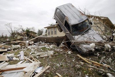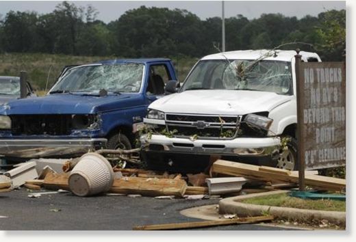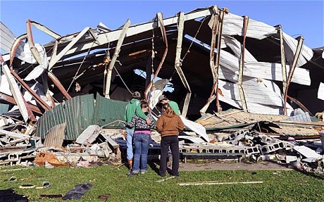
© The Associated Press/The Clarioni-Ledger, Brian Albert BroomVehicles sit destroyed by wind and debris, Friday, April 15, 2011 in Clinton, Miss. A state of emergency has been declared for 14 Mississippi counties after spring storms swept across the state, spawning suspected tornadoes that left many homes and businesses destroyed and at least three people critically injured.
Vicious storms and howling winds smacked the U.S. South, killing at least seven people in Alabama including three family members whose homes were tossed into nearby woods.
In Alabama's Washington County, about 50 miles (80 kilometres) north of Mobile, a mother and her two children were among those killed, said state emergency management agency director Art Faulkner.
Combined with earlier reported fatalities in Arkansas and Oklahoma, the confirmed death toll had risen to 16 by early Saturday - the nation's deadliest storm of the season.
Henley Hollon said Saturday that his 65-year-old brother, Willard Hollon, lived across the street from him in the Boone's Chapel community about 25 miles (40 kilometres) from Montgomery. Henley Hollon said Willard Hollon and Willard's two adult children, Steve and Cheryl, were killed when the storms roared through.
Henley Hollon said he had been watching the weather forecast on television - and thought the worst was over when the winds started to pick up.
"It got up real fast. The lights went out," he said. "We had to feel our way into the hall. It lasted less than a minute."
