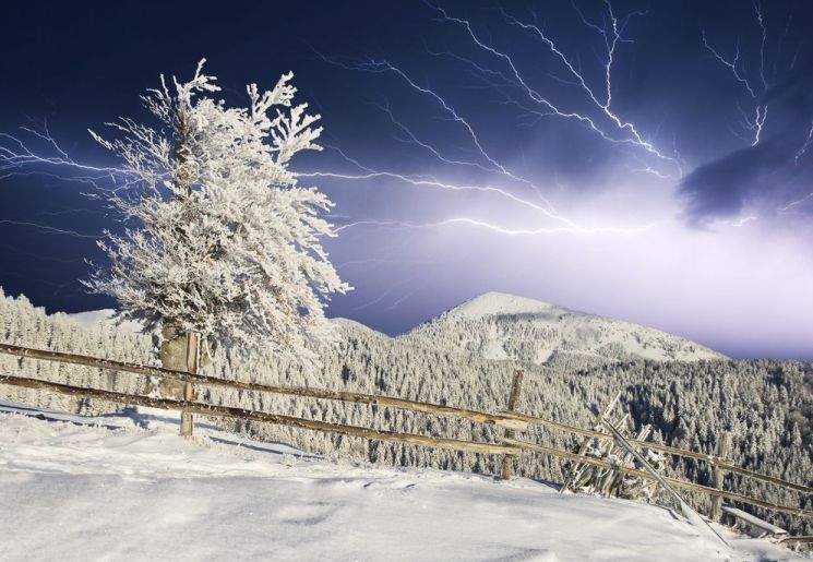
Thundersnow
Facebook lit up almost as brightly as the sky over Kotzebue and other areas of the Arctic last Sunday morning, as people speculated about what the bright flashes in the sky were.
More than a dozen people reported seeing several bright flashes in the sky, unexplained by air traffic or other human activity. One thought neighborhood children were pulling a prank at first.
Another suggested a meteor had split into three parts. Another reported hearing booms. Then came a post showing a Chicago-based meteorologist on The Weather Channel standing in a blinding snowstorm with the sky flashing behind him. The ecstatic reporter hooted as he and his camera man captured "thundersnow" on camera several times in the course of a few minutes.
Though rare, thundersnow is a real phenomenon, a snow thunderstorm that occurs under circumstances similar to a thunderstorm as a cold or warm front moves into an area. The thunder is often muffled by the snow, but the flashes may still be visible.
"It's pretty rare, but it's not out of the question in the winter," said John Lingaas, a meteorologist at the National Weather Service in Fairbanks. "The conditions have to be just right."


Comment: Ice age cometh: Brutal winters point to Earth turning colder