
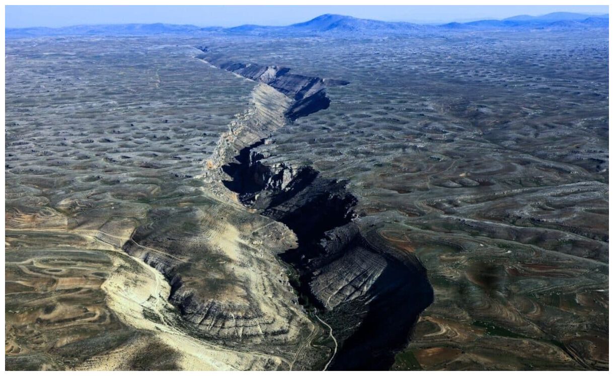
© iStockAerial Photograph of Geological Landform, Mersin – Turkey.
Stretching over 1,000 kilometers (621 miles) from the Yukon into Alaska, the Tintina fault is one of the major geological features in western North America. It runs parallel to the Yukon River, marking a significant divide in the Earth's crust where two tectonic plates meet. Over its history, the fault has shifted laterally by a remarkable 450 kilometers (280 miles), making it an essential player in understanding the region's seismic landscape.
For a long time, scientists believed the fault had been inactive for at least 40 million years, largely because there had been no significant seismic events associated with it during recorded history. This view began to shift when recent research uncovered new evidence that the fault may still be capable of large ruptures, potentially putting the area at risk for powerful earthquakes in the future.

© Geophysical Research LettersPhysiography and seismotectonics of the Yukon Territory. Quaternary scarps along the Tintina fault in this study are highlighted with a red line.
New Evidence Suggests Activity Beneath the Surface
Researchers from the University of Victoria, the Geological Survey of Canada, and the University of Alberta recently used cutting-edge technology to investigate the Tintina fault more thoroughly. They employed high-resolution topographic data from satellite images, as well as LIDAR (light detection and ranging) surveys conducted by drones and aircraft. This technology has given scientists a clearer view of the landforms in the region, revealing offsets in the Earth's surface that indicate seismic activity.
Among the most significant discoveries was evidence of fault scarps — a feature caused by vertical shifts along a fault line. According to the study published in Geophysical Research Letters, some of these scars were found to be associated with landforms up to 2.6 million years old, showing displacements of up to 1,000 meters. Other landforms, dating to more recent periods, showed smaller offsets, indicating that the fault has been active at various points over the Quaternary Period, which spans the last 2.6 million years.

© Geophysical Research LettersDetailed view of the Flat Creek fault segment. (a) ArcticDEM (Porter et al., 2023) hillshade showing the scarp cross-cutting the 2.6 Ma Flat Creek Beds.
Implications for Future Earthquakes
While no large earthquakes have occurred along the fault in the past 12,000 years, researchers have pointed out that the fault continues to accumulate strain at a rate of 0.2 to 0.8 millimeters per year. This slow build-up of stress is critical because major earthquakes often result from the sudden release of strain that has been accumulating over long periods.
According to the study, the fault may have a "slip deficit" of up to six meters, meaning it could be nearing a critical point where the stored energy is released in a significant earthquake. The team estimates that if this strain were to be released, it could result in an earthquake of magnitude 7.5 or higher.
Such an event would likely cause severe shaking in Dawson City and surrounding areas, disrupting vital infrastructure such as highways and mining operations. The region's susceptibility to landslides, which could be triggered by seismic activity, further amplifies the risks associated with potential future earthquakes along the Tintina fault.







if it opened into Hudson Bay then i'd just fit the ol' kayak with an extra two-four and i'd be out your way in a few days for some caribou burgers !