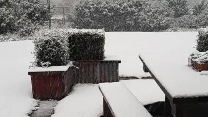
The southerly began moving its way up the South Island from about 9pm on Monday and caused high winds and snow in Central Otago.
The temperature in Canterbury dropped suddenly from 18 degrees Celsius to 5 as the southerly front made its way north.
Winds in Canterbury rapidly rose from 10-15kmh to gusts of 81kmh.
MetService meteorologist Ciaran Doolin said the "significant" southerly change affected the majority of the South Island, however rainfall was surprisingly low despite the forecasts.
The Central Otago District Council issued a notice alerting motorists Danseys Pass Rd was restricted to 4WD (from the gates past the Danseys Pass Hotel) due to snow and ice.
Small patches of snow fell on Milford Rd in Fiordland, the Crown Ranges in Queenstown and the Mackenzie region - home to Lake Tekapo, Mount Cook and the Tasman glacier.
Things would settle down until Thursday, when MetService forecast a second front to hit, bringing with it cold temperatures, wet weather and strong winds.
Fire and Emergency New Zealand (FENZ) spokeswoman Lyn Crosson said the high winds caused about "half a dozen" callouts for firefighters, but nothing of significance occurred overnight through the South Island as a result of the weather.
FENZ spokesman Daniel Reilly earlier said a tree branch fell on a car about 9.20pm on Greers Rd in Christchurch that was too big for firefighters to manage. An arborist was called and the branch was removed shortly after. No-one was inside the car or injured as a result, he said.


Reader Comments
In celebration of Russia's taste for speed and legendary bad roads, 'tractor racing' poised to become 'new national sport'
Tractor racing, an annual event held in Rostov-on-Don, South Russia, every summer, is in the running to become a national sport in the country, steadily evolving from a funny entertainment show to...