OF THE
TIMES
"We have about 50% of the world's wealth but only 6.3% of its population. This disparity is particularly great as between ourselves and the peoples of Asia. In this situation, we cannot fail to be the object of envy and resentment. Our real task in the coming period is to devise a pattern of relationships which will permit us to maintain this position of disparity without positive detriment to our national security. To do so, we will have to dispense with all sentimentality and day-dreaming; and our attention will have to be concentrated everywhere on our immediate national objectives. We need not deceive ourselves that we can afford today the luxury of altruism and world-benefaction."
~ US State Department, 1948
This article and so called research demonstrates to me nothing more than a sophisticated to use of language to describe the Darwinian theory of...
"It may be the first piece of evidence that people in the West have made a decision to liquidate him. Be afraid, clown!" Seems about right to...
I would take this info with a pinch of salt if the Russian admin didn't know too much about the supposed assassin. There really isn't any worth in...
That headline pic may be from Medvedev’s telegram but the pic itself is altered, clearly, and automatically alerts the reader to the...
They claim 12 in the photo however I see only 10, if 12 than 60% means they supposedly have a total of 20.
To submit an article for publication, see our Submission Guidelines
Reader comments do not necessarily reflect the views of the volunteers, editors, and directors of SOTT.net or the Quantum Future Group.
Some icons on this site were created by: Afterglow, Aha-Soft, AntialiasFactory, artdesigner.lv, Artura, DailyOverview, Everaldo, GraphicsFuel, IconFactory, Iconka, IconShock, Icons-Land, i-love-icons, KDE-look.org, Klukeart, mugenb16, Map Icons Collection, PetshopBoxStudio, VisualPharm, wbeiruti, WebIconset
Powered by PikaJS 🐁 and In·Site
Original content © 2002-2024 by Sott.net/Signs of the Times. See: FAIR USE NOTICE


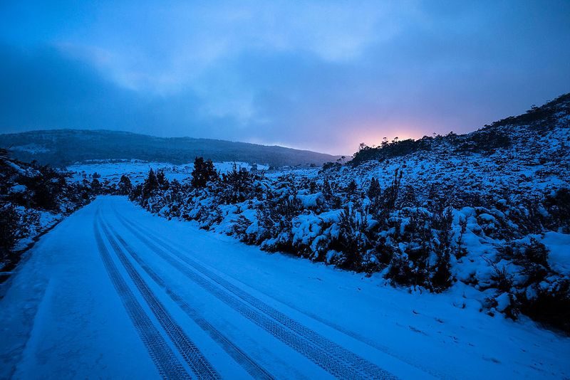
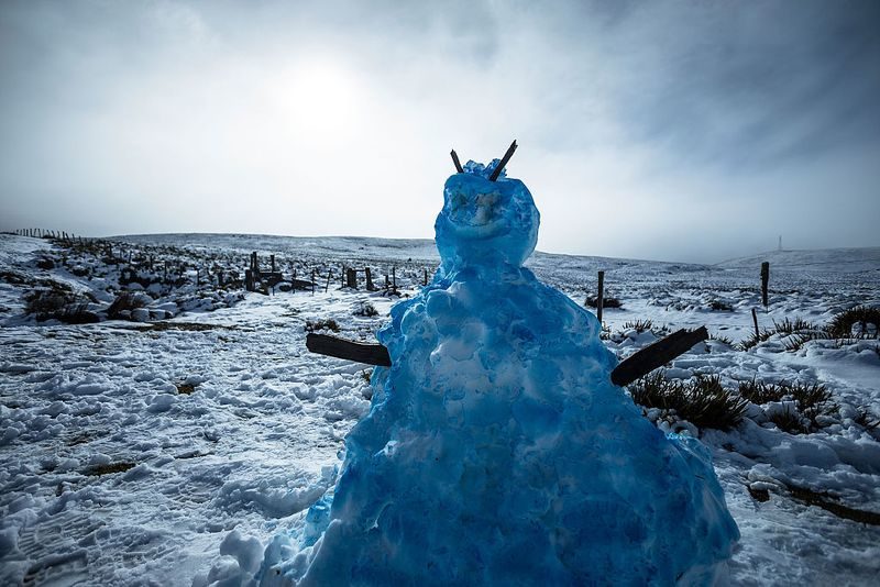
Comment: Record cold temperatures and snowfall are being documented with increasing frequency all over the planet:
- Heavy snowfall across South Africa
- Snow follows record breaking May heatwave in northern Sweden
- Australia hit with extreme cold front as snow hits and people are warned of dangerous conditions
- More than half of Nova Scotia blueberry crop wiped out by JUNE killer frost
- 'Very unusual': April snowfall surprises South Island, New Zealand
- New Zealand blasted by heavy dump of summer SNOW as ex-cyclone Gita wreaks havoc and turns weather patterns on their head (VIDEO, PHOTOS)
- Violent weather anomaly brings giant hail, unseasonal snow and destructive winds in New South Wales, Australia (VIDEO)
- Wild winds, record rainfall and cold temperatures hit Australia
- Australia Bureau of Meteorology hides record cold temperature data
For more on the great changes occurring on our planet check out: SOTT Earth Changes Summary - June 2018: Extreme Weather, Planetary Upheaval, Meteor Fireballs