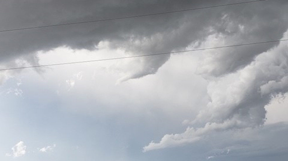
While some strong winds came in with the storms even stronger winds came with a wake low behind the storms.
You might be wondering how some areas saw wind gusts of 60 to 70 mph without storms. That is where a wake low comes in.
A wake low is a rare weather phenomenon that typically prompts the National Weather Service to issue high wind warnings as they did around 4 am Thursday morning.
Wake lows develop in the wake of a storm as pressure drops. As pressure drops the pressure gradient tightens and strengthens the winds.
To break it down even further, after storms pass the air cools and sinks but the pressure closer to the earth's surface pushes the air molecules closer together causing them to heat up once again.
That process is called adiabatic warming.
The change in air pressure causes wind as the air moves from higher to lower pressure.
When a wake low forms it can trigger high wind gusts as the drop in pressure creates a stronger pressure gradient.
That was the cause of the strong winds in the Oklahoma City metro area.
The second weather phenomenon that occurred in two separate locations was a heat burst.
A heat burst is a downdraft of hot and dry air that typically occurs in the evening and overnight hours.
In the tweet above you can see that the temperature went way up, the dewpoint went way down. and the wind speeds picked up.
So we saw hot, dry air being pushed down causing some stronger winds which meet the criteria for a heat burst.
Usually, heat bursts happen as thunderstorms are ending, like we saw in both Chandler and Cheyenne.
For a heat burst to occur the air must start from very high up in the atmosphere and that air needs to be very dry.
As precipitation falls into the dry air it causes the air to cool through latent heat absorption. In the case of a heat burst, the precipitation, which cooled the air, has been vaporized and can no longer absorb latent heat.
This air is denser than the air around it and begins to fall through the atmosphere. As it falls, it will rapidly warm-up and race towards the surface causing the burst of wind.
In the Chandler case, the temperature jumped to around 80 degrees, the dewpoint fell to below 50 degrees, and winds were recorded at nearly 70 mph.
In Cheyenne, we saw the temperature jump to 85 degrees while the dewpoint fell to nearly 40 degrees and a wind gust of nearly 55 mph was recorded.


Reader Comments
to our Newsletter