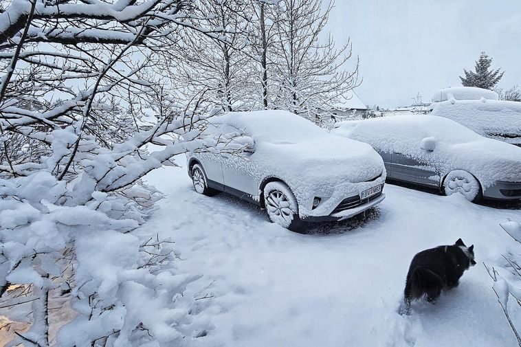
"In the last 75 years, there have only been 4 instances of this much snow falling in the Reykjavík area in the second half of April," Teitur told Iceland Review. A high-pressure front coming in from the south that brought spring-like weather to Iceland in recent weeks shifted above Greenland last weekend, he explained. It was replaced by a small low-pressure system, bringing the snowfall that is uncharacteristic for this time of year.
While Reykjavík skies remain clear this morning, South Iceland will receive its fair share of snowfall today, and travellers in the area are encouraged to check conditions before heading out. Teitur says the capital area may see more snowfall tonight. Weather in the area is then expected to remain cold, even dipping below the freezing mark in the coming days but should warm up from Tuesday or Wednesday next week.


Reader Comments
It's good to see the sun again
The trend is building, so I'd expect to see advancements of change, some have had their homes covered in snow, whilst others to flood waters.
The media is a concern, their part of that hideous machine that spins narratives, so do expect them to cover your back by telling you the truth.