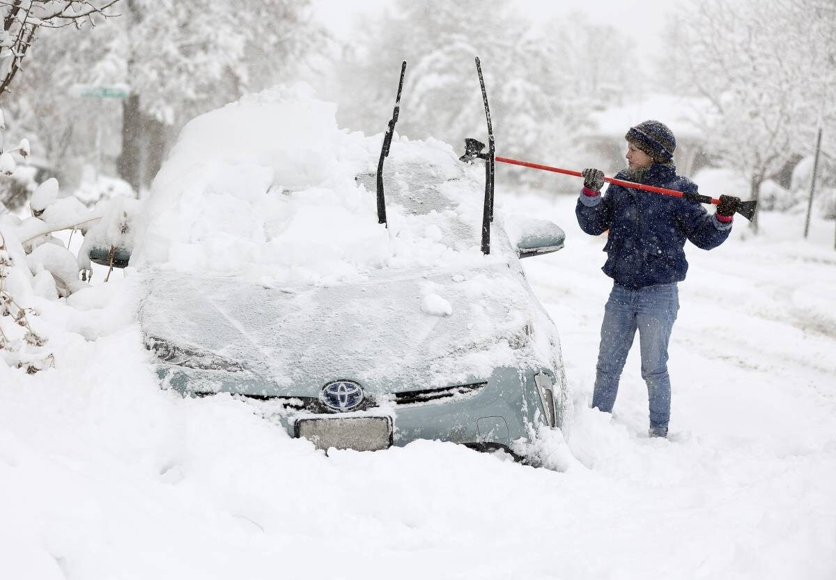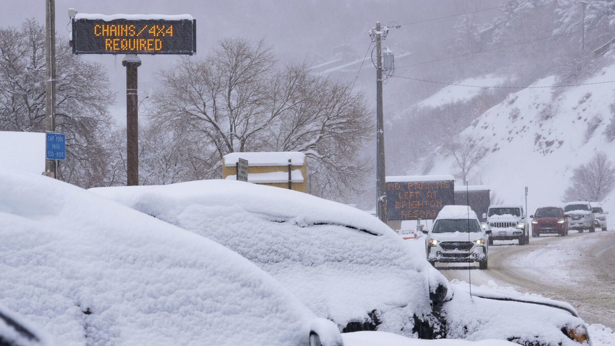
Storm warnings and advisories stretch across almost the entire northern US, with blizzard warnings in place in Minnesota and the Dakotas, which will get the brunt of the storm on Wednesday. The southern edge of the system will deliver sleet and freezing rain, leaving roads treacherous.
"We are looking at the potential for hazardous to impossible travel conditions," said Frank Pereira, a meteorologist with the National Weather Service. "The bottom line is don't travel unless you absolutely have to."
Ice-storm warnings stretch from northern Iowa to Michigan, with the potential to down trees and power lines and knock out electricity.
"It's probably going to be one of the biggest storms of the winter," said Adam Douty, a senior meteorologist with Accuweather Inc. "The southern Great Lakes area is going to be the ice zone."
Nearly 1,425 US flights have been canceled so far for Wednesday, according to data from FlightAware, with Delta Air Lines Inc., Southwest Airlines Co. and Alaska Air Group Inc. taking the highest share, along with regional carriers SkyWest Inc. and Endeavor Air. Another 2,629 flights have been delayed. At least 310 have already been grounded for Thursday.
About 49% of the flights at Minneapolis-Saint Paul International Airport, a hub for Delta, have been scrapped, along with 49% at Milwaukee and 28% at Detroit.
Minneapolis has received about 5 inches (13 centimeters) of snow, and is likely to get as much as a foot more through early Thursday, with gusty winds and whiteout conditions. That would put this storm in the top five to ever strike the region, according to Melissa Dye, a meteorologist with the National Weather Service's Twin Cities office.
"It's not often we get high snow levels from one big storm," she said. The record is the Halloween storm of 1991, which dumped more than 28 inches.
The storm is flanked by a low-pressure area to its north and a high pressure zone to the southeast. That's helping draw a mass of warm air that will deliver record high temperatures from the Ohio Valley to the Gulf Coast. Temperatures may be in the upper 80s from New Orleans to Florida Thursday. Washington may reach 81F (27C), breaking the record for the day of 78F, said Douty.
"Tons of records across the Southeast will be broken in the next few days," he said.
Meanwhile, a second system is gearing up to slam the West Coast late Thursday. High winds preceding the storm have already knocked out power in the San Francisco Bay Area and San Diego, with more than 86,000 homes and businesses in the dark Wednesday afternoon.
Low temperatures in Southern California Thursday may lead to snowfall at elevations as low as 1,500 feet (450 meters), with the foothills of Southern California getting as much as 6 inches, and as much as 7 feet at higher elevations.
"There's the potential for very heavy snow in Southern California," said Pereira.


He who controls the weather controls the world. LBJ 1962
1962: “HE WHO CONTROLS THE WEATHER, WILL CONTROL THE WORLD” [Link]
President Johnson would go on to authorize weather warfare over Vietnam.Operation Popeye first came to public light in March 1971, when reporter Jack Anderson published a story based on a secret 1967 memo from the Joint Chiefs of Staff to President Johnson. The memo read:“ Laos operations – Continue as at present plus Pop Eye to reduce the trafficability [sic] along infiltration routes & Authorization requested to implement operational phase of weather modification process previously successful tested and evaluated in some area”. (US Senate, Subcommittee on Oceans and International Environment; 26 July 1972; p. 5).
Operation Popeye's weather warfare project was conducted from Thailand over Cambodia, Laos, and Vietnam and was allegedly sponsored by Secretary of State Henry Kissinger and CIA without the authorization of then Secretary of Defense Melvin Laird who said "we have never engaged in that type of activity [weather modification] over Northern Vietnam" in Congressional testimony.