OF THE
TIMES
We'll know our disinformation program is complete when everything the American public believes is false.
The legal team representing high-powered insurers Lloyd's and Arch says that since the Nord Stream explosions were "more likely than not to have...
NPR = Non-Player Reporter.
Just in case someone has missed the Why Files take on this story: "Forbidden Archaeology: Lost Giants of America | The Smithsonian's Biggest...
The "Red headed giants we went to war with before we herded them into a cave and burned them all" or variations thereof is pretty universal. There...
The CO2 is nature's response to deforestation: Boost CO2 to encourage faster/more prolific plant growth. And we can see from the ruins emerging...
To submit an article for publication, see our Submission Guidelines
Reader comments do not necessarily reflect the views of the volunteers, editors, and directors of SOTT.net or the Quantum Future Group.
Some icons on this site were created by: Afterglow, Aha-Soft, AntialiasFactory, artdesigner.lv, Artura, DailyOverview, Everaldo, GraphicsFuel, IconFactory, Iconka, IconShock, Icons-Land, i-love-icons, KDE-look.org, Klukeart, mugenb16, Map Icons Collection, PetshopBoxStudio, VisualPharm, wbeiruti, WebIconset
Powered by PikaJS 🐁 and In·Site
Original content © 2002-2024 by Sott.net/Signs of the Times. See: FAIR USE NOTICE

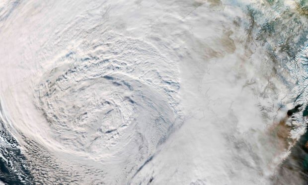
Comment: For more information on extreme weather events, check out SOTT's monthly documentary SOTT Earth Changes Summary - December 2020: Extreme Weather, Planetary Upheaval, Meteor Fireballs