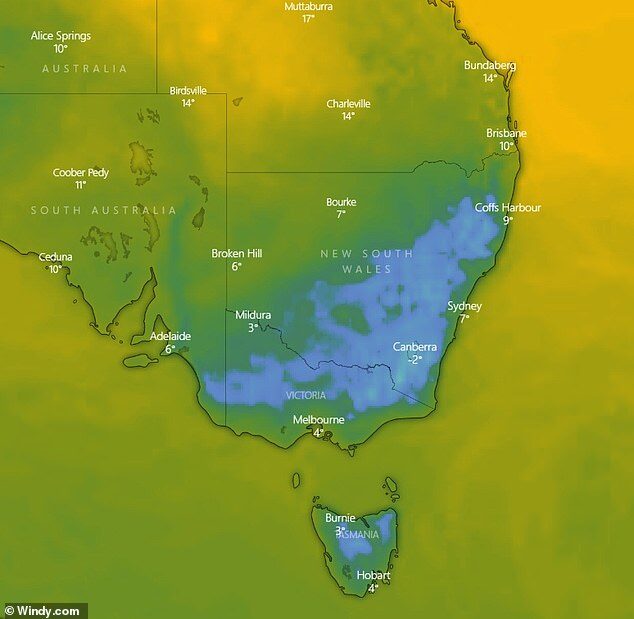
The weather will bring freezing temperatures to Tasmania overnight as snow falls at sea level, with the mercury plummeting to 0C in Hobart.
A trough is expected to bring cloudy conditions to Melbourne which will limit daytime heating and bring top temperatures of 11-12C from Tuesday to Friday.
This will be the city's first four-day period at or below 12C since 1996, Weatherzone's Ben Domensino said.
'Outside central Melbourne, temperatures could even get cold enough for snow to fall on some of the hills around the city,' he said.
'Snow is also likely in other low-lying parts of the state on Tuesday and Wednesday.'
The cold air mass has been described as 'exceptional' as it moves up towards Australia from Antarctica.
Melbourne went into strict Stage Four lockdown from 6pm on Sunday until at least September 13, when it will be reevaluated.
Melbourne residents will only be allowed to exercise for an hour a day and can't travel more than 5km from home for the purpose of shopping.
Only one person from each household will be able to go to the shops each day.
Metropolitan Melbourne will be under a nightly curfew, between the hours of 8pm to 5am, from Sunday night with some exemptions for those providing care and travelling to and from work.

Gusty winds are expected to remain for much of the week with showers and thunderstorms, meaning the temperature could feel 2-3C cooler.
Melbourne will see increasing showers on Monday afternoon with a high of 15C.
In southern New South Wales snow could fall as low as 300-400m above sea level on Tuesday and Wednesday.
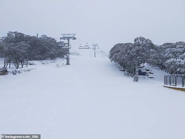
Towns in the lower parts of the Snowy Mountains could be seeing snow covering up to ten centimetres.
Perisher is expecting almost a full week of snow showers beginning late on Monday, leaving the slopes ready for keen skiers later in the week.
While southern NSW will experience most of the chill and wind, a wind warning for Tuesday is in place for the Sydney Coast, Illawarra Coast and Eden Coast.
Rest of article here.


P.s., Wanna see scary crazy surfing near Hobart on that map? Place called 'Shipsterns'. [Link]
RC
Or this: [Link]