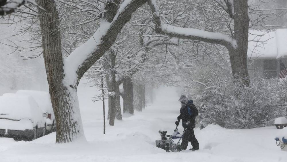
The 'bomb cyclone' packed blizzard conditions, tropical storm-force winds, and hazardous travel.
The storm turned deadly when a Colorado State Patrol corporal was struck and killed by a vehicle while he was outside helping a car that slid off of Interstate 76 in Weld County, Colo.
A Volvo lost control and ran into Corporal Daniel Groves, 52. Corporal Groves was taken to a hospital where he was pronounced dead.
The National Weather Service deemed the storm a "cyclone of historic proportions."
As the blizzard developed, heavy snow lashed northern Colorado, including Denver, western Nebraska, eastern Wyoming, central South Dakota, and southeastern North Dakota.
The storm strengthened over the High Plains on Wednesday with the rate of intensification resulting in bombogenesis, which occurs when the barometric pressure rapidly plummets, crashing more than the 0.71 of an inch threshold in a 24-hour period. The rare weather phenomenon is often referred to as a "bomb cyclone."
As the blizzard developed, heavy snow lashed northern Colorado, including Denver, western Nebraska, eastern Wyoming, central South Dakota, and southeastern North Dakota.
National Weather Service (NWS) offices logged roughly 350 wind gusts reports of 50 mph or more during a 24 hour period.
Some locations were hit with tropical storm-force winds. The NWS has received more than 92 reports of damage.
"There have been gusts to near 100 mph with the snow in Colorado Springs, Colo.," AccuWeather Dave Samuhel said.
Airlines canceled almost 2,000 flights and delayed another 2,700 due to the wind and severe weather.
"The powerful winds also led to structural damage, widespread tree damage, power outages and difficult driving conditions," Samuhel said.
A portion of the above corridor was expected to receive 12-18 inches of snow with an AccuWeather Local StormMax™ of 26 inches possible in some places by the time the storm is finished. Indeed, some places in Colorado reported more than a foot of snowfall by late afternoon, according to the National Weather Service (NWS).
"Snowfall totals so far are as high as 16 inches in the mountains of Colorado, with 5.2 inches reported at Denver International Airport and about 4 in the Boulder area. Many schools, including those in the Denver area, have already been canceled for Thursday," AccuWeather Meteorologist Faith Eherts said.
The storm also tangled with barometric pressure records across the southwest and middle of the nation. According to preliminary NWS data, Colorado and New Mexico broke all-time low barometric pressure records on Wednesday.
The old records stood at 28.82 inches of Mercury (975.8 millibars) in La Junta, Colorado, in 1973, and 28.90 inches of Mercury (978.7 millibars) in Clayton, New Mexico.
The NWS reported that Dodge City, Kansas, saw its lowest recorded barometric pressure in more than 100 years. A reading of 28.78 inches of mercury (974.9 millibars) was recorded Wednesday at the Dodge City Airport, shattering the previous record of 974.9 millibars, which was set in 1960 and stood for more than 100 years.


Reader Comments
This winter has been a bad one.
But I have seen worse.
There were some really bad ones here in the '80's, '96 was extremely snowy, '69 was VERY snowy too (though I was just a kid then) and the January '75 blizzard was in some ways, the worst blizzard I have ever seen.....
West central Minnesota. Resident here since '69.
ned, out
p.s. fortunately we are receiving thawing weather now and the storm noted in this article, so far here has been moderate rainfall...