The center of Franklin is now less than 70 miles north of Veracruz, Mexico, moving west at 10 to 15 mph in the Bay of Campeche.
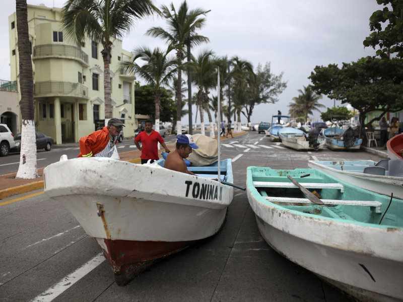
Conditions are quickly deteriorating on the coast of eastern Mexico as bands of rain and gusty winds move ashore.
La Vigueta in the state of Veracruz has reported a wind gust of 45 mph, while hurricane hunters reported wind gusts as high as 90 mph a few hundred miles off the coast mid-Wednesday evening.
Hurricane or tropical storm-force winds are expected along the coast into Thursday morning, particularly in Veracruz state.
Franklin's intensity could fluctuate through the early morning hours as the hurricane moves ashore and battles with friction.
A hurricane warning has been issued by the government of Mexico for Franklin's second landfall in parts of eastern Mexico, from Puerto de Veracruz to Cabo Rojo.
Tropical storm warnings are also in effect for other parts of the Mexican coast along the Bay of Campeche.
A storm surge of 4 to 6 feet is possible near and north of the center along the eastern Mexican Bay of Campeche coast late Wednesday night and Thursday morning, before water levels subside after that, according to the National Hurricane Center.
Perhaps the most serious threat, however, may be from rainfall flooding.
Up to 15 inches of rain may fall in eastern Mexico through Thursday associated with Franklin's final move inland. Flash flooding and mudslides are likely to be major concerns as Franklin grinds across this region's mountainous terrain.
Although Franklin's circulation may fall apart over Mexico, it will bring moisture with it across the continent. An additional 3-9 inches of rainfall is possible across southwestern Mexico from whatever is left of Franklin when it reaches the Pacific.
A year ago, eastern Mexico was ravaged by flooding and mudslides from Tropical Storm Earl which claimed the lives of 81 people.
Franklin is no direct threat to the U.S. Gulf Coast.
However, high surf, rip currents, and possibly some minor coastal flooding should affect southern Texas into Thursday. The National Weather Service in Brownsville, Texas, posted a high surf advisory for the South Texas coast through Thursday night.
After dissipating over Mexico, remnant energy from Franklin may help spawn another tropical depression or tropical storm in the eastern Pacific in the days ahead.
Franklin's First Landfall
Franklin made its first landfall as a tropical storm just before 11 p.m. CDT Monday night near Pulticub, Mexico, about 180 miles south-southwest of Cozumel.
Significant flash flooding occurred in the city of Campeche as Franklin moved through Mexico's Yucatan Peninsula on Tuesday.


Reader Comments
to our Newsletter