Forecasters had predicted this storm would be the strongest and several years, and it didn't disappoint. While earlier storms produced periods of heavy showers, this one delivered several hours of sustained pounding rain, with damaging results.
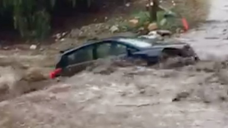
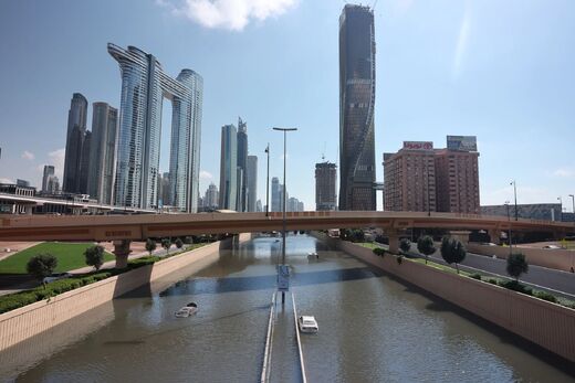
Coastal areas of Los Angeles County were among the hardest hit, with Long Beach Airport setting a new all-time rainfall record, 3.87 inches. The intense rain was too much for local roads. Sunday afternoon, both the 110 Freeway in Carson and the 710 Freeway in Long Beach were shutdown due to extreme flooding that left cars stranded like islands in a lake.
In Long Beach and surrounding communities, dozens of intersections were flooded and some residents reported their parked cars were damaged as the rainwater kept rising. Across the region, several people were rescued from their cars and thousands lost power.
Brett Albright, a meteorologist with the National Weather Service's office in San Diego, said the storm dumped as much as four inches of rain in some places.
"Today was very intense," said Albright. "It's not a normal event. It was definitely a culmination of the perfect circumstances: We had a very intense atmospheric river with a lot of moisture and an area of lift in the atmosphere right over coastal Los Angeles and Orange counties. It forced all of that moisture out."
"It's not often we see higher rainfall totals on the coast than in the mountains," he said.
Southern California has been mired by a 5-year-drought. But this storm is part of a larger shift toward wetter conditions that began last fall. Since October 1, downtown L.A. has received more than 13 inches of rain -- 216% of normal rainfall for this period, which the National Weather Service said was 6.26 inches.

On Sunday, the brunt of the storm hit in the afternoon.
Rockslides closed roads in Malibu and other coastal mountain areas. Up the coast in Isla Vista, a cliff and a patio collapsed into the ocean. Rescuers had to evacuate 15 to 20 residents of ocean-front apartment units, according to Gina DePinto, a spokesperson for the County of Santa Barbara.
At least one fatality was believed to be linked to the storm. A motorist in Pomona was driving about 3:15 p.m. amid heavy rains, lost control of the vehicle and smashed into a telephone pole, according to the Pomona Police Department. The driver suffered major injuries and was pronounced dead by Los Angeles County paramedics. The person's name was not released pending notification of family members.
A homeless encampment off of the Pacific Coast Highway in the Harbor City neighborhood was submerged in several feet of water. Los Angeles fire rescue teams helped three people walk out of the flooded area and brought two others out by boat, officials said.
One of those rescued, a 39-year-old man, was transported to a local hospital. Swift-water rescue teams were still searching the area, a roughly 300-square-foot patch of land with dense vegetation off the highway, for other victims late Sunday afternoon.
Some of the biggest concerns about the storm came from the communities hit by wildfires last year. Heavy rains can cause mudslides in burn areas, and some officials urged residents to evacuate.
Evacuation orders were issued for burn areas in Glendora, Duarte, Silverado Canyon in Orange County and parts of Santa Barbara County.
As of Sunday night, most of the hillsides had held up, to the relief of anxious homeowners.
In the Duarte burn area, many residents chose to stay in their homes. Rudy Fuentes, an elementary school teacher, said he decided to stay behind to protect his home in case things really got out of hand.
"I hope it doesn't come to that," said Fuentes, whose driveway was covered in about two inches of mud. "We just decided to stick it out."
Jerry Katz, a 25-year resident of the neighborhood, wasn't worried at all about the situation. He didn't put down any sandbags or dig any trenches. He blamed the city's orders to leave on nervous lawyers.
"The real problem is I can't take my son to Cheesecake Factory tonight," Katz said.
Orange County officials remained on guard, particularly in Silverado Canyon, which is still recovering from a nearly 1,000-acre fire in 2014. Extra emergency crews have been brought in to help, including a bulldozer operator and two additional swift-water rescue teams.
"The ground still remains pretty saturated and it can be problematic," said Capt. Alan Wilkes, of the Orange County Fire Authority.
The epic rains caused something very unusual at Disneyland Sunday -- a quiet day with small crowds. As heavy rains poured and a flash flood warning was issued, the sparse number of guests hid under the monorail.
Some were clearly unprepared for the rain - wearing jeans, sneakers and hoodies, with some even without umbrellas. "Star Wars" lightsaber umbrellas were selling briskly, despite a hefty price tag of $65.
But the visitors who braved the weather enjoyed short lines - less than half an hour for Hyperspace Mountain, where lines typically can last for 2 hours.
Thunderstorm conditions were expected to ease slightly late Sunday into Monday. But the rainfall is expected to continue until Tuesday.
In all, the storm system is expected to generate 4 to 6 inches of rainfall over the next three days, with the most rainfall in the foothill and mountain areas. Clearer skies and temperatures in the mid to high 60s are expected to return beginning Friday.
The storm also caused problems in Northern California, which has seen a series of major storms over the last few months that lifted much of the region out of drought.
Mudslides and snow closed major roads including Interstate 80. U.S. 395 and Highway 17, the main freeway linking Silicon Valley with Santa Cruz.
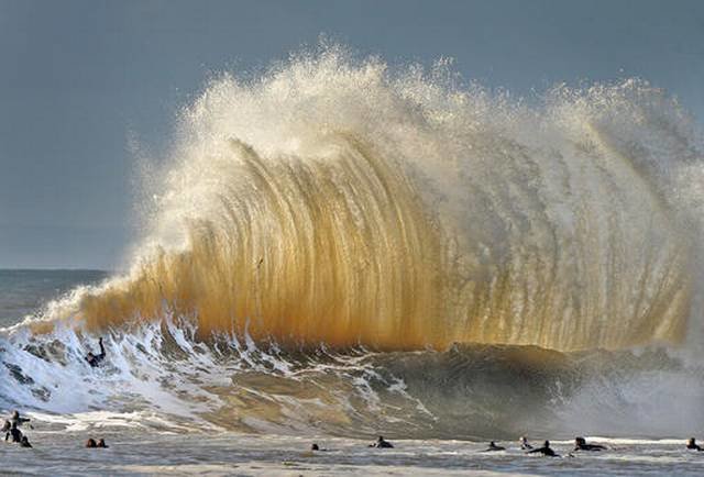
Monster surf on Saturday set a new wave height record for the Monterey Bay: 34.12 feet, according to the NWS. The previous record was 32.8 feet, set in 2008. Those conditions smashed the remains of the famed concrete ship, the S.S. Palo Alto, in the Monterey Bay town Aptos.


Reader Comments
to our Newsletter