Less than two weeks after some southern cities were crippled by a couple of inches of snow, forecasters have issued another winter storm watch for the Georgia area.
With forecasters predicting snow, sleet and freezing rain for parts of Kansas, Oklahoma and possibly north Texas on Monday, Atlanta Mayor Kasim Reed has begun to treat priority roads and bridges to avoid another ice storm fiasco.
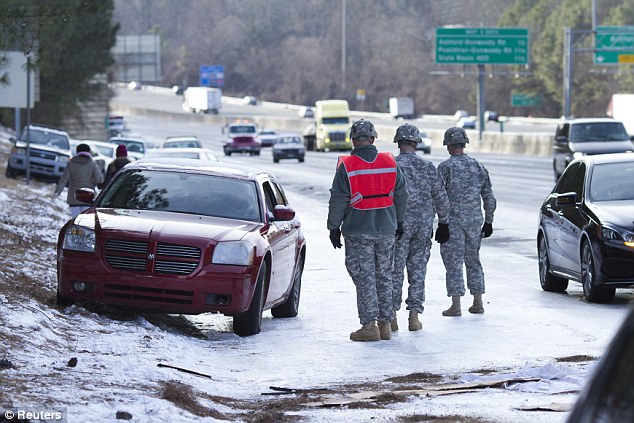
Georgia Governor Nathan Deal was forced to apologize for the state's poor handling of last month's snow storm, which left hundreds of children stranded in schools overnight, some without provisions, and created traffic jams stretching for miles on roads coated with just two inches of snow.
According to The Weather Channel the next swathe of southern snow will kick off on Monday morning, as a stripe of wet conditions develop in parts of Kansas, Oklahoma and possibly extreme north Texas. It will then spread eastward into the Mid-South region.
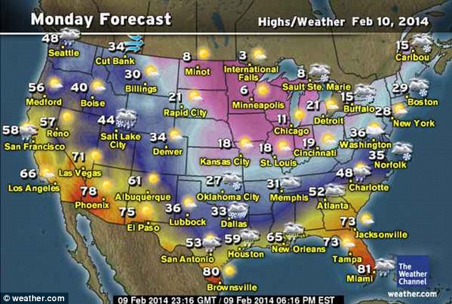
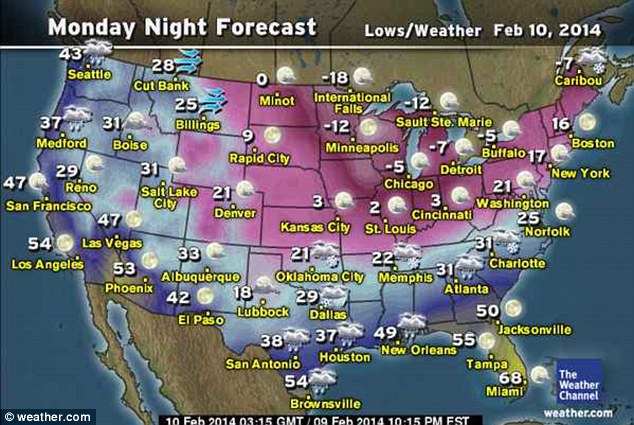
As cold air near the surface continues to build overnight, rain may become freezing in parts of northeast Texas, northern Louisiana, southern Arkansas, northern and central Mississippi, northern Alabama, and northwest Georgia from Monday to Tuesday.
The Weather Channel also predicts that snow will shift out of Arkansas and Oklahoma into Tennessee and North Carolina from Monday night to Tuesday.
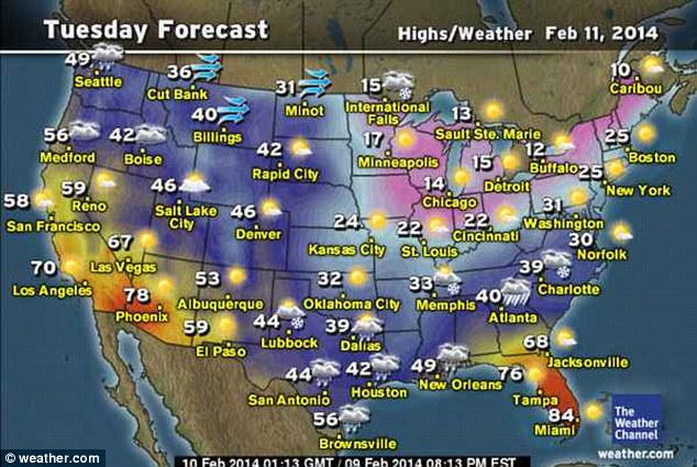
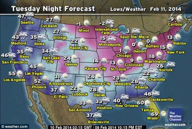
Meanwhile in the North East, The Weather Channel reports most of the snow will be over for the region by Monday morning.
Snow showers and flurries are likely from western Pennsylvania through northern New England, with a band of light snow across southern Virginia not expected to get higher than an inch.
The remainder of the region is expected to be dry and cold, with highs mostly in the 10s and 20s.
In New York, the mercury will hover around the 30s until Thursday when it is forecast to rise to 39 degrees.




Reader Comments
to our Newsletter