OF THE
TIMES
A nation that continues year after year to spend more money on military defense than on programs of social uplift is approaching spiritual doom.
When Johnson came out with the "axis of evil", you knew he was bought and paid for. The American Congress and Executive branch are jokes, and...
This only works if you (i.e. Micron) have full control over the judicatory system. Otherwise, it might backfire mightily. Although in Micron's...
Following the Hamas-led massacre at the Nova Music Festival on October 7, about fifty survivors have committed suicide, revealed Guy Ben Shimon....
Yes, Time magazine is garbage. However, I wonder about the author. Quote: "Everyone promotes. We should search for where the preponderance of...
Quote: "The Israeli Ministry of Health says that they do not have any information or statistics about the claim made of 50 survivors who have...
To submit an article for publication, see our Submission Guidelines
Reader comments do not necessarily reflect the views of the volunteers, editors, and directors of SOTT.net or the Quantum Future Group.
Some icons on this site were created by: Afterglow, Aha-Soft, AntialiasFactory, artdesigner.lv, Artura, DailyOverview, Everaldo, GraphicsFuel, IconFactory, Iconka, IconShock, Icons-Land, i-love-icons, KDE-look.org, Klukeart, mugenb16, Map Icons Collection, PetshopBoxStudio, VisualPharm, wbeiruti, WebIconset
Powered by PikaJS 🐁 and In·Site
Original content © 2002-2024 by Sott.net/Signs of the Times. See: FAIR USE NOTICE

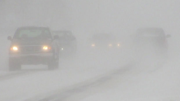
I find the headline interesting as it says "...S. Ontario braces for biggest snowstorm in years" and then to discover a couple of lines into the article that yes we do indeed have to go all the way back to ... (drumroll)...spring 2011!
Yes that is certainly a very long time ago in comparison to the life span of an amoeba but..
Could it be that they are trying desperately to convey that these snowstorms are rare events (as most people only read the headlines) instead of the fact that they are occurring more and more frequent. In other words the uncomfortable truth to the AGW crowd is that the world is cooling not warming.