OF THE
TIMES
It says a lot of our present batch of politicians when they cannot process simply information. Since the present batch of idiots lie so much...
What are you talking about Peter. That 'breeding' is non-stop REPEAT since the Lazy 80s (in our timeline!)
All the USadmin seem to do these days is warn others of what they will do. The Blinken idiot just got his ass kicked on his way out of China. So i...
The second hand car market will go nuts, so second hand cars over a certain age will very probably be banned some way or another. The NWO...
The company should just close its american operations and move them somewhere else. The market isn't just america. Concentrate on the emerging...
To submit an article for publication, see our Submission Guidelines
Reader comments do not necessarily reflect the views of the volunteers, editors, and directors of SOTT.net or the Quantum Future Group.
Some icons on this site were created by: Afterglow, Aha-Soft, AntialiasFactory, artdesigner.lv, Artura, DailyOverview, Everaldo, GraphicsFuel, IconFactory, Iconka, IconShock, Icons-Land, i-love-icons, KDE-look.org, Klukeart, mugenb16, Map Icons Collection, PetshopBoxStudio, VisualPharm, wbeiruti, WebIconset
Powered by PikaJS 🐁 and In·Site
Original content © 2002-2024 by Sott.net/Signs of the Times. See: FAIR USE NOTICE

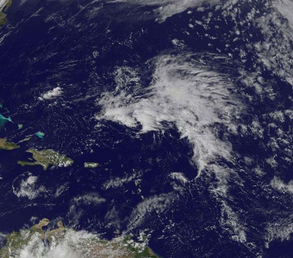
"Tropical System Could Bring Early Start to Hurricane Season" Yes and so could HAARP...