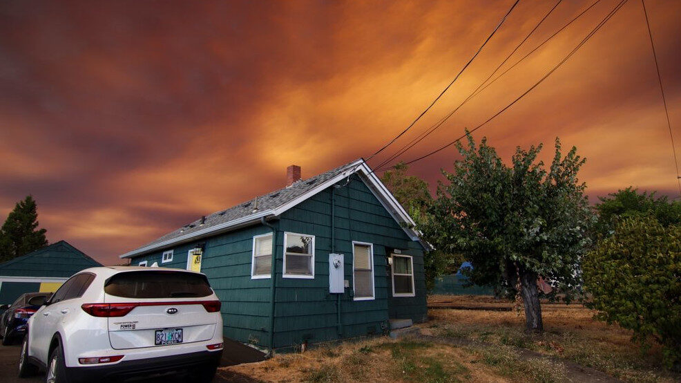
The Oregon Office of Emergency Management says there are more than 480 active fires across the state, adding that more than 2.5 million acres have been burned. Governor Kate Brown invoked the Emergency Conflagration Act Tuesday afternoon.
Several fast-moving fires prompted evacuation orders in communities across Oregon and Southwest Washington overnight Monday and into Tuesday.
Below is a list of the current evacuation orders by county, as of 3:30 p.m.:
Marion County:
Fires burning in the Santiam Canyon area of eastern Marion County prompted several evacuation orders for local communities. County commissioners declared a state of emergency on Tuesday.
Level 3 "GO"
Detroit
Lyons
Mehama
Mill City
Gates
Idahana
North Fork area
Brietenbush
214 North of Silverfalls State Park to Scott Mills
Level 2 "Get Set"
Stayton
Sublimity
Aumsville
Hwy 213 to Drakes Crossing
Clackamas County:
Crews are fighting four active fires in Clackamas County that have prompted evacuations. The county also declared a state of emergency Tuesday.
Currently, officials said there are four active wildfires in Clackamas County that have resulted in evacuations. Officials have not specified the level of these evacuations at this point.
Oregon City - Redland and Potter Road
Colton Area - Unger Road
Molalla Area - Wilhoit and Bird Road
Beachie Creek Fire and resulted in an evacuation of the Job Corps at Ripplebrook in the Mount Hood National Forest evacuated
On Twitter, however, officials did say there was a Level 3 evacuation in place.
Level 3 "GO"
Burns Road to Graves Road to Howards Mill Road, and includes South Wave Road.
South of OR 211 between Estacada and Woodburn.
Level 1 "Be Ready"
Here's the #ClackamasWildfires resource page from @clackamascounty — including links to an evacuation map and a signup for their PublicAlerts service.... https://t.co/4NFBj2FwCQ
— Clackamas Sheriff (@ClackCoSheriff) September 9, 2020
(Read more here)


Fires all around here. Many small fires put out.
But safe here.