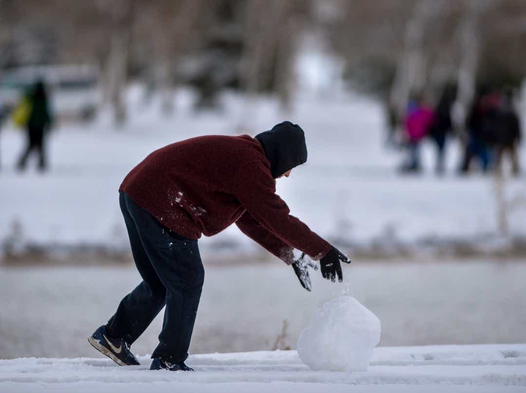
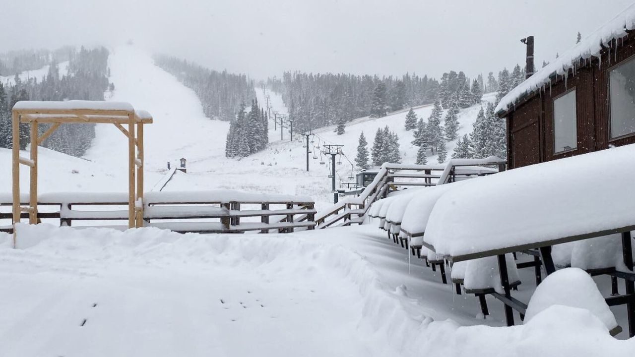
Just four months into the snow year, more than half of a typical year's worth of snow already has been recorded in the city.
Following Monday's new snow, temperatures will plummet to 30 to 35 degrees below the normal.
"Probably timed with the morning commute, so it's going to be a mess," Christian Cassell, a meteorologist with the National Weather Service in Great Falls, said of the latest round of snow forecast Monday morning.
Dry snow will fall in a two- to five-hour window as the fast-moving, intense cold front envelops the region accompanied by gusty winds that will blow it around.
"It could fall at an inch-an-hour rate," Cassell said.
Snow will begin around midnight Sunday/Monday along the state's border with Canada and by Monday night and Tuesday morning north-facing slopes of central and southwest Montana mountains will be covered.
The greater Great Falls and Helena areas could see locally moderate to heavy snowfall Monday morning, making for especially difficult driving conditions, the Weather Service said.
Lewistown also is expected to get around 3 inches with areas along and west of Interstate 15 also seeing accumulations as well.
As much as 9 inches could fall in the Little Belt Mountains, and the Highwoods will get hit hard, too.
During the morning commute to work, the high temperature will be around 20, which is 30 to 35 degrees below the normal high.
"That's pretty dramatic for this time of year," Cassell said.
During the evening commute home Monday, the low temperature is expected to be around 9 degrees with below-zero windchills.
Then it's really going to get uncomfortable as cold from the arctic continues to spill south into Montana.
Tuesday morning, a low of two below zero, approaching the record of five below, will greet Great Falls residents.
Highs will be in the mid-teens, which is about 35 degrees below the normal.
The low Wednesday will be around four degrees (the record is 11 below).
For late October in Great Falls, the normal high is 52 degrees.
Normal low temps are around 30 degrees.

That's the question residents have asked this year, as winter storm after winter storm hit the Electric City.
First, in late September, 19.3 inches of snow fell over three days.
That was followed by another round of snow, this one 7.7 inches, Oct. 8-9.
For the season, from July to June, Great Falls typically receives about 60 inches of snow.
This year, 31.6 inches has already been recorded, or half a typical season's snowfall.
"And we're not even to the end of October," Cassell said. "It should be pretty obvious if we continue on this pace we're definitely going to set a record for seasonal snowfall. I'm not predicting that, but if we continue on this pace we'll set the record."
Through Sunday, Great Falls had received 8.7 inches of snow so far in October; the normal is 3.3 inches.
As for the October average temperature, it's been 40.3 degrees, which is 5.9 degrees below normal.
"That's only going to go lower because it's only going to be cold the rest of the month," Cassell said.
The weather pattern causing the cold and snow looks to continue into about mi-November, Cassell said.


Comment: Just last month in September: Parts of Montana hit by winter storm dumping 4 FEET of snow!! Drifts of 7 FEET reported