OF THE
TIMES
''...containing fake images of myself superimposed on other people,...'' Where ? Some of them have to be funny.
Nothing new in that article.
"the Netanyahu government did not even need this US exhortation; it would have ignored the resolution anyway." Some awfully big egos playing the...
I sure wish the geography teacher I had in grade 10 had had the hots for me.
Someone will have to explain to me who had the authority to grant a handful of billionaires the run of our planet. Bored billionaires I might add....
To submit an article for publication, see our Submission Guidelines
Reader comments do not necessarily reflect the views of the volunteers, editors, and directors of SOTT.net or the Quantum Future Group.
Some icons on this site were created by: Afterglow, Aha-Soft, AntialiasFactory, artdesigner.lv, Artura, DailyOverview, Everaldo, GraphicsFuel, IconFactory, Iconka, IconShock, Icons-Land, i-love-icons, KDE-look.org, Klukeart, mugenb16, Map Icons Collection, PetshopBoxStudio, VisualPharm, wbeiruti, WebIconset
Powered by PikaJS 🐁 and In·Site
Original content © 2002-2024 by Sott.net/Signs of the Times. See: FAIR USE NOTICE

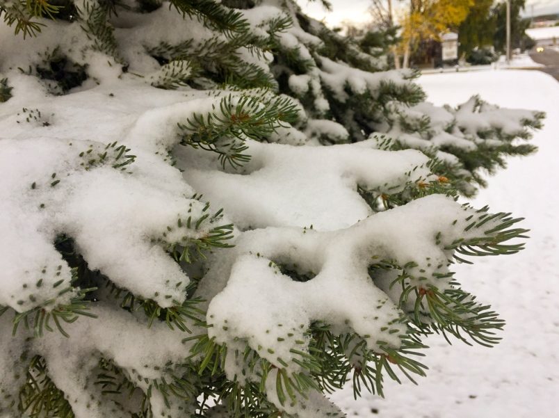
Comment: Parts of British Columbia are already seeing snow