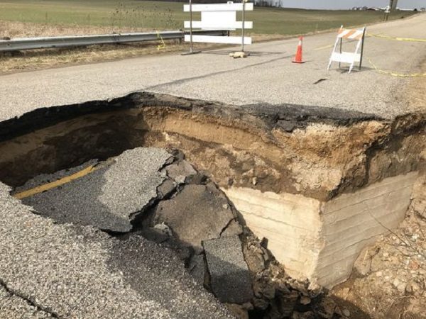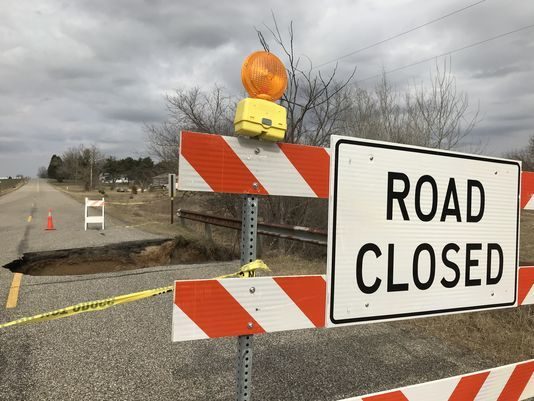
"It is not going to be a quick process, measured in hours or days," Ballou said. "I think it will be measured in weeks. We have to replace the whole structure."
Ballou said the Wright-Parlee Maxson Drain runs underneath the roadway. The drainage structure at the sinkhole is a combination of corrugated pipes and remnants of an old concrete bridge that was put in place in the 1950s, he said.
The structure isn't large enough to handle the drainage in the area, Ballou said. It'll likely be replaced with a pre-fabricated structure "designed to better handle the flood flows," he said. It will likely be assembled off site and then installed.
Ballou said the Road Commission is working with the Eaton County Drain Commissioner's office on the project. As of yet there are no cost estimates, he said, but similar projects have cost anywhere from $30,000 to $70,000.
"Any figure I give you now is a guess," Ballou said. "Whatever we put back in has got to last many, many years."
Ballou said the road closure isn't preventing any nearby residents from accessing their driveways or property, and emergency services should be able to reach residents who live in the area. There are concerns about the stability of the roadway surrounding the sinkhole.
"That's really, really questionable," he said. "That could collapse at any time."
The North Cochran Road closure is one of about 11 still in place around Eaton County as a result of last weeks heavy rains and flooding. Ballou said other closures are the result of standing water on the roadway or road that's been washed away by water.
A map of those closures can be found at: http://ecgis.maps.arcgis.com/apps/View/index.html?appid=2f9ba13231434ef78c3b76c0486904d5 .


Reader Comments
to our Newsletter