OF THE
TIMES
A nation that continues year after year to spend more money on military defense than on programs of social uplift is approaching spiritual doom.
Australia is rapidly becoming the most censored "democracy" in the world. ... The World Economic Forum has praised Australia for their extreme...
Why is it missing from this article that the guy was shot in the back? Hard to claim self defense in such case even inside your own home.
May I point out, it’s not only Australians being hoodwinked, RT banned in these nations. al Jazeera was bombed continuously reporters murdered, by...
' You don't need to change your daily behaviour or activities. Government authorities will tell you if this changes ,' ' Local authorities will...
What do the leaders if this global WEF keep attacking? Oil. Oil for energy... why? They want everything controlled by their electrical grid......
To submit an article for publication, see our Submission Guidelines
Reader comments do not necessarily reflect the views of the volunteers, editors, and directors of SOTT.net or the Quantum Future Group.
Some icons on this site were created by: Afterglow, Aha-Soft, AntialiasFactory, artdesigner.lv, Artura, DailyOverview, Everaldo, GraphicsFuel, IconFactory, Iconka, IconShock, Icons-Land, i-love-icons, KDE-look.org, Klukeart, mugenb16, Map Icons Collection, PetshopBoxStudio, VisualPharm, wbeiruti, WebIconset
Powered by PikaJS 🐁 and In·Site
Original content © 2002-2024 by Sott.net/Signs of the Times. See: FAIR USE NOTICE

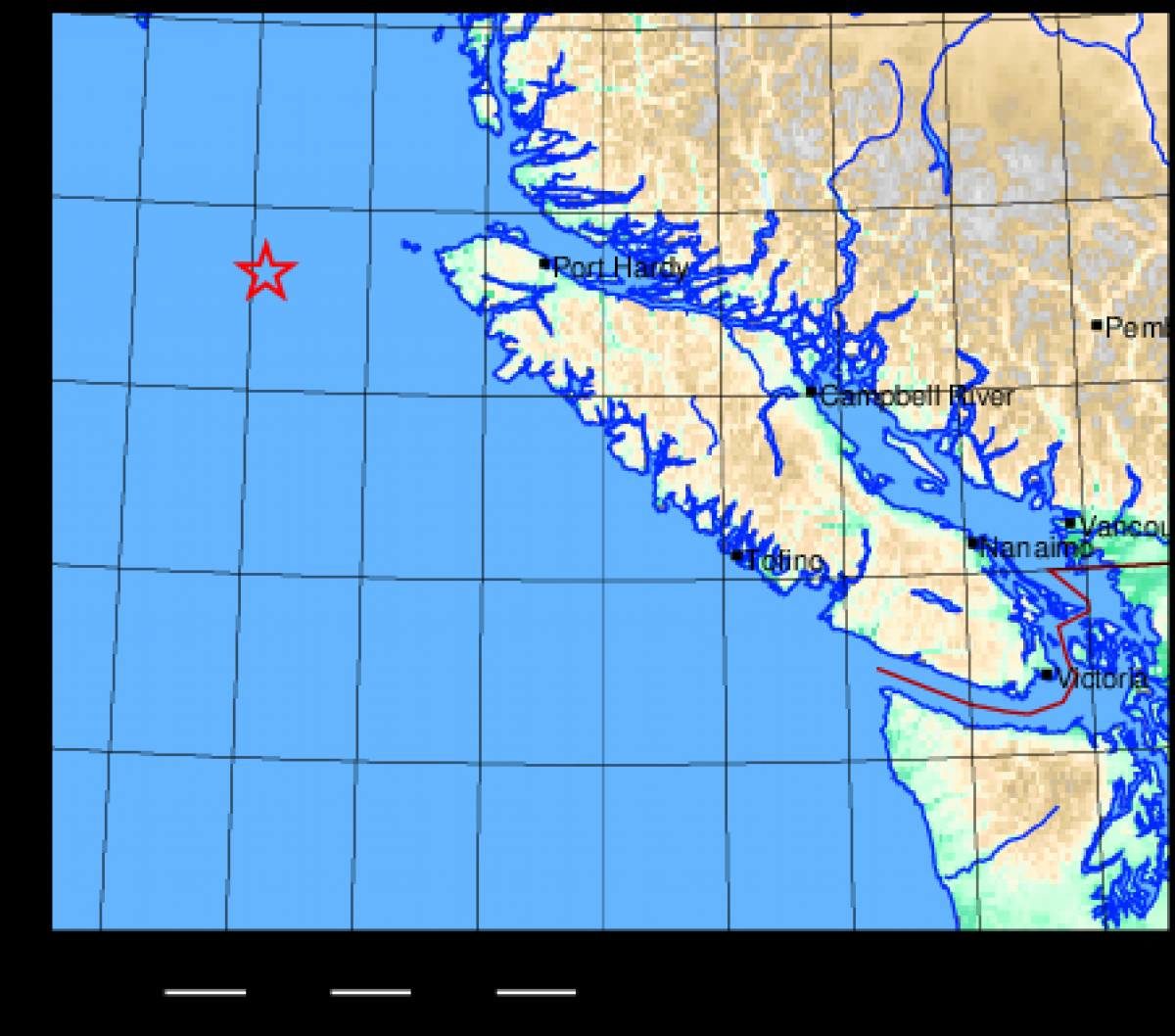
Comment: Vancouver Island overdue for the big one