Scattered showers moved into the Puget Sound region Tuesday as a potent Puget Sound Convergence Zone slowly moved through the region. Some of these showers brought small hail and a few bolts of lightning.
A small hail storm coated the ground on the Eastside, with photos from the area showing rather wintry scenes.
Hail reports came in from Bellevue, Renton and the Issaquah Highlands.
In Seattle, the rains brought January-like temperatures to those caught outside. The thermometer at Sea-Tac Airport registered 44 degrees at 1 p.m. -- a 10 degree drop in 33 minutes. At that moment, Seattle was 7 degrees warmer than Reykjavik, Iceland despite it being late evening in Iceland.
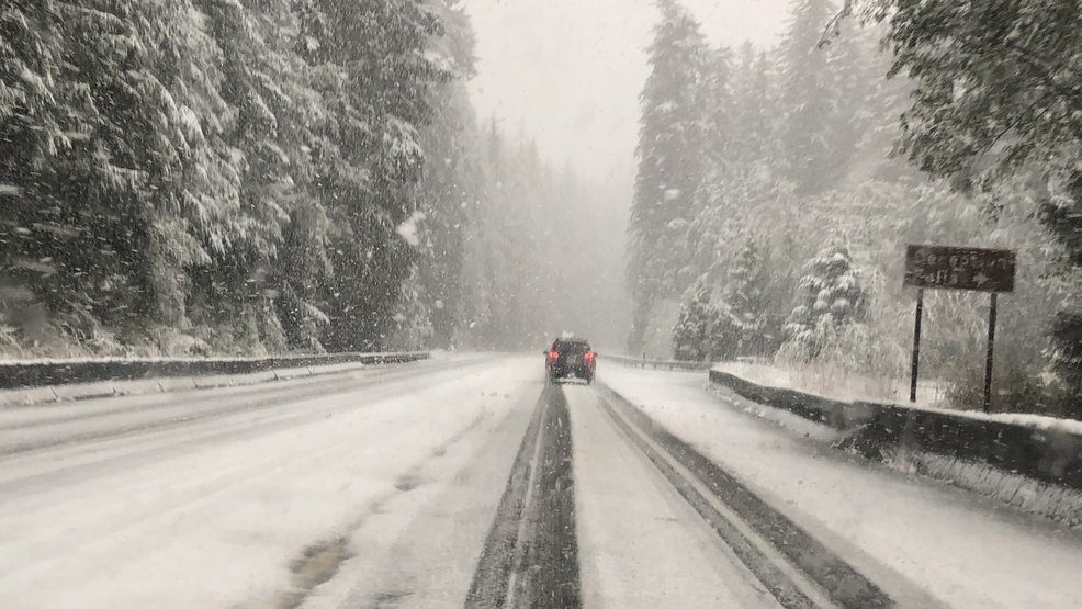
Meanwhile, it was all snow up in the mountains where 7-10 inches have already fallen at Stevens Pass.
A Snow Advisory is in effect until 8 p.m. for snow at Stevens Pass and even some rain/snow mix at Snoqualmie.
Already, a semitruck became disabled on the snowy road two miles west of the summit and was blocking the lanes for a while, troopers said.
Just passed by 1 semi-truck that's slid off the road on U.S. 2 several miles west of @StevensPass.
— Steve McCarron KOMO (@SteveTVNews) October 8, 2019
Snow is coming down steadily. pic.twitter.com/jkTQzsott9
But heavier snow showers are pushing the snow levels even lower. Local storm chaser Benjamin Jurkovich found a wet snow falling in Skykomish:
Snow mixed with rain and 33°F at an elevation of 928 feet in the town of Skykomish, Washington. #wawx @NWSSeattle @MorganKIRO7 @ScottSKOMO pic.twitter.com/1j8mw7Pobx
— Benjamin Jurkovich (@BenjaminJurkovi) October 8, 2019
Snoqualmie Pass was right on the border of the snow level and any moisture that fell there was expected to be a rain/snow mix or wet snow.
Showers with isolated thunderstorms and hail will decrease this evening with temperatures holding in the low-mid 50s.
Skies will clear out tonight -- and with those clear skies come some chilly overnight lows. We could be down into the 30s in some outlying areas.
Look for sunshine tomorrow and highs in the mid 50s. Sunny skies prevail on Thursday as well -- with another round of mid 50s.
Clouds increase a bit on Friday and will start off the weekend under mostly cloudy skies and a few scattered showers -- mainly on Sunday.


Reader Comments
to our Newsletter