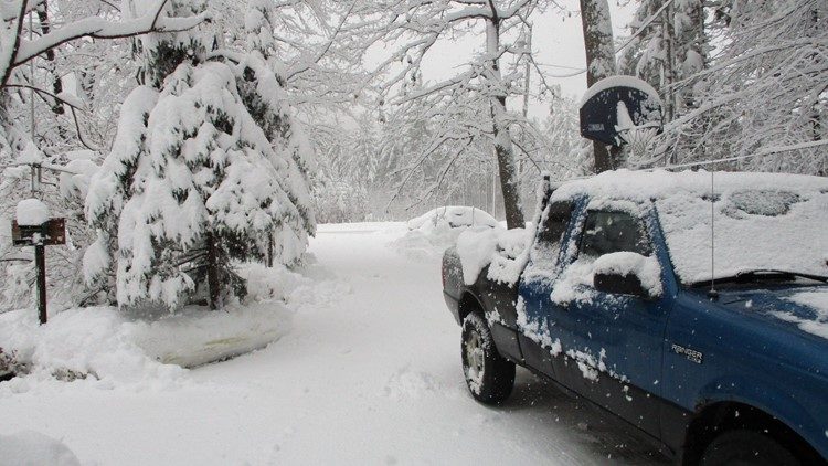
Snowfall totals across New York and New England have surpassed one to two feet in many areas, while some places in ski country and the snowbelts off the Great Lakes are pushing three to four feet or more.
This record and near-record November snowfall has been caused by the same general weather pattern that led to record rainfall in parts of the Mid-Atlantic into eastern New England. Basically, storm systems keep on coming, riding along the jet stream that has parked itself over the region.
In addition to a stream of coastal storms this cold season, other low-pressure systems have kept the precipitation coming, as well. There have now been eight significant low-pressure systems affecting the eastern United States over the past month:
I got 8 Sub 1005mb Storms past 4 weeks impacting Lower48. 1 transfer which happened 2 days ago and gave New England 12"+ snows pic.twitter.com/VB6KyXjdY6
— Ralphs Weather OBS (@WeatherNut27) November 29, 2018
November snow certainly is not uncommon in New England and much of New York state, but it has piled up particularly high over the past few weeks.
Take Burlington, Vt. A normal November might deliver them 5.1 inches of snow. This year? 19.5 inches. All of that snow has fallen since mid-month. It now ranks as the fifth-snowiest on record there and the snowiest since 2002. The top mark for the month there is 24 inches, in 1900.
It is a similar story in Caribou, Maine. The town, in the northern part of the state, averages 11.5 inches of snow in November. This month it has seen 29.3 inches, ranking as the third-snowiest November on record there.
If these kinds of totals are not snowy enough, the powder is always deeper in the mountains.
Mount Washington in New Hampshire holds the title for most snow recorded among official long-term climate locations. The 60.5 inches they have recorded is the eighth-most on record for the month and the most since November 2002 at that location. Like Burlington, the most recent comparable November was the predecessor to the very snowy winter in 2002-2003.
The snow stake on Mount Mansfield in northern Vermont is another high-quality long-term source for snow data. With 46 inches on the ground there at last report, it had the most on record this early in the season. Depths like this are more typical of what would be seen in January there. Given its high elevation, peak snow depth typically occurs in March on Mount Mansfield.
As might be expected given all this news, ski areas across New England and New York are in the midst of one of the best early seasons in memory.
Jay Peak Resort in Vermont writes "November never looked so good." Sunday River Resort in Maine echoed the same sentiment:
November never looked so good. pic.twitter.com/ga0xT8djEU
— Sunday River (@sundayriver) November 28, 2018
Over at the American Weather Forums, an online gathering spot for weather enthusiasts, there is a great thread going on the subject, documenting the prodigious snow amounts from Burke to Smugglers' Notch to Bolton Valley to Sunday River. All of these areas received at least 18 inches from the storm that came through this week.
Seasonal totals are equally incredible. Among the highest numbers, Smugglers' Notch in Vermont has recorded 86 inches to date, Bolton Valley has logged 84 inches, and Jay Peak is reporting 72 inches.
Contemplating whether a lot of snow early tends to lead to a big winter? The answer seems to be a "qualified yes," with many places in New York and New England showing a historical tendency for snowy winters after plentiful early-season snows.


Reader Comments
to our Newsletter