Storms
S


Snowflake

Adapt 2030 Ice Age Report: Snow Los Angeles - Record snow Las Vegas & Flagstaff, Arizona - Floods Brazil

Las Vegas snow
© AP Photo/John LocherA man takes a picture of a small snowman at the "Welcome to Fabulous Las Vegas" sign along the Las Vegas Strip, Thursday, Feb. 21, 2019, in Las Vegas. Las Vegas is getting a rare taste of real winter weather, with significant snowfall across the metro area in the first event of its kind since record keeping started back in 1937.

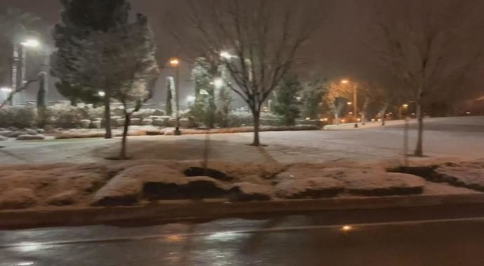
Snow over the last day in Los Angeles, the last time snow was seen 1962, with new cold record in Santa Barbara. Flagstaff, Arizona and Las Vegas, Nevada break their all time snow fall records. Sao Paula, Brazil atmospheric compression event and biblical floods blast through the city. More signs the Grand Solar Minimum is intensifying.


Comment: See also:


Snowflake

Adapt 2030 Ice Age Report: Winter Storm PETRA - Record snow roofs collapse Canada

LAS VEGAS SNOW
As winter Storm Petra bears down on the US with thunderstorms to the South, ice in the east and massive snows to the desert S.W Quebec received record snow that is collapsing roofs, Saskatchewan coldest in 80 year, and Las Vegas record snow. The grand solar minimum continues to intensify.


Sources

Cloud Precipitation

18 trillion gallons of rain in California in February with more on the way

California rain
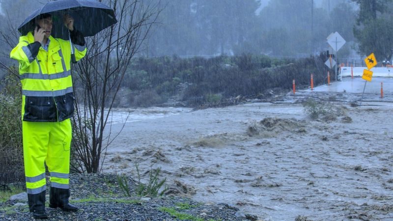
© Mark Boster / For The TimesOrange County Public Works' Shannon Widor surveys damage where Trabuco Creek overflowed the Trabuco Canyon Road bridge last week.
California has already received an 18-trillion-gallon soaking this month - enough water to fill 27 million Olympic-sized pools - and the state's wild winter isn't over yet.

A series of storms, including a moisture-packed atmospheric river that slammed the state last week, has brought consistent rainfall in February that has reached nearly half the volume of Lake Tahoe.

Los Angeles has received its fair share of the rain, with more than 4 inches falling on the Southland since Feb. 1. San Diego has had more than 10 inches of rain this month, passing its average for the entire winter season, according to the National Weather Service.

The totals are likely to increase this week - though not by much - as another storm rolls into the region Wednesday night. That low pressure system is expected to bring less than a quarter of an inch of precipitation through Thursday, said Lisa Phillips, a meteorologist with the National Weather Service in Oxnard.

Comment: History says California overdue for biblical, catastrophic flooding


Tornado1

Explosive cyclogenesis in North Atlantic Ocean

Hurricane-force low in the North Atlantic Ocean
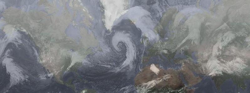
© UW-CIMSS, TWHurricane-force low in the North Atlantic Ocean at 11:00 UTC on February 20, 2019.
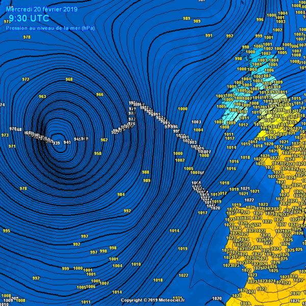
As expected, the impressive cyclone we discussed yesterday has gone through an incredibly rapid intensification and deepened below 940 mbar this morning. A very deep cyclone (a "weather bomb") is moving across the north Atlantic and is expected to pass just west of Iceland tomorrow before it hits south Greenland overnight to Friday.

Mean sea level pressure analysis reveals the central pressure had already fallen below 940 mbar by this morning, into 938-939 mbar range. Notice the incredibly steep pressure gradient through the NW and SW quadrants of the system - this is undoubtedly producing some violent winds, in excess of 150 km/h!

Atlantic cyclone
© 2019 Meteociel.fr

Snowflake

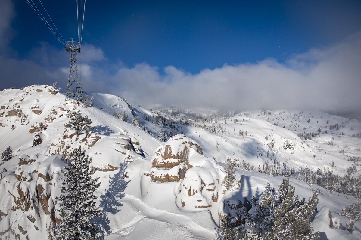
Flake news: Sierra ski resort of Squaw Valley hits 503 inches of total snowfall for season

Squaw Valley Alpine Meadows
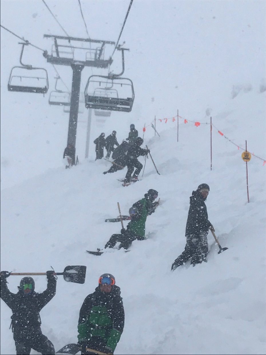
Sierra ski resorts are emerging from under a monster storm that pushed Squaw Valley Alpine Meadows past 500 inches of total snowfall so far this season.

That's enough snow to easily cover a standard telephone pole (430 inches) and nearly enough to cover the tallest letter in the iconic Hollywood sign (590 inches).

Squaw Valley Alpine Meadows stands at 503 inches. Sierra-at-Tahoe has seen 407 total inches. Heavenly reports 365 inches.

In 2017, Squaw Valley Alpine Meadows had 496 inches of total snow.


Comment: Squaw Vallley in California sets February snowfall record before the month is over at 17 feet


Cloud Precipitation

Rain and hailstorms across parts of India cause immense crop damage

hail
Rain and hailstorm across many parts of the country have been wreaking havoc, and the worst sufferers are the currently sowed crops. North and central parts of India have seen immense crop damage in the past few days. Now, as the rain belt also covered the northeastern regions of the country, the crop damage saga continues.

Yesterday, rain along with along with hailstorm activities have caused damage to vast areas furthermore damaging crops in Assam. Areas of Dirak and Kakopathar areas were the ones that suffered the most amount of damage with several acres of tea as well as mustard plantations being on top of the list. As per locals, the hailstorm was as big as oranges and even accumulated up to a whopping 2 feet.


Tornado1

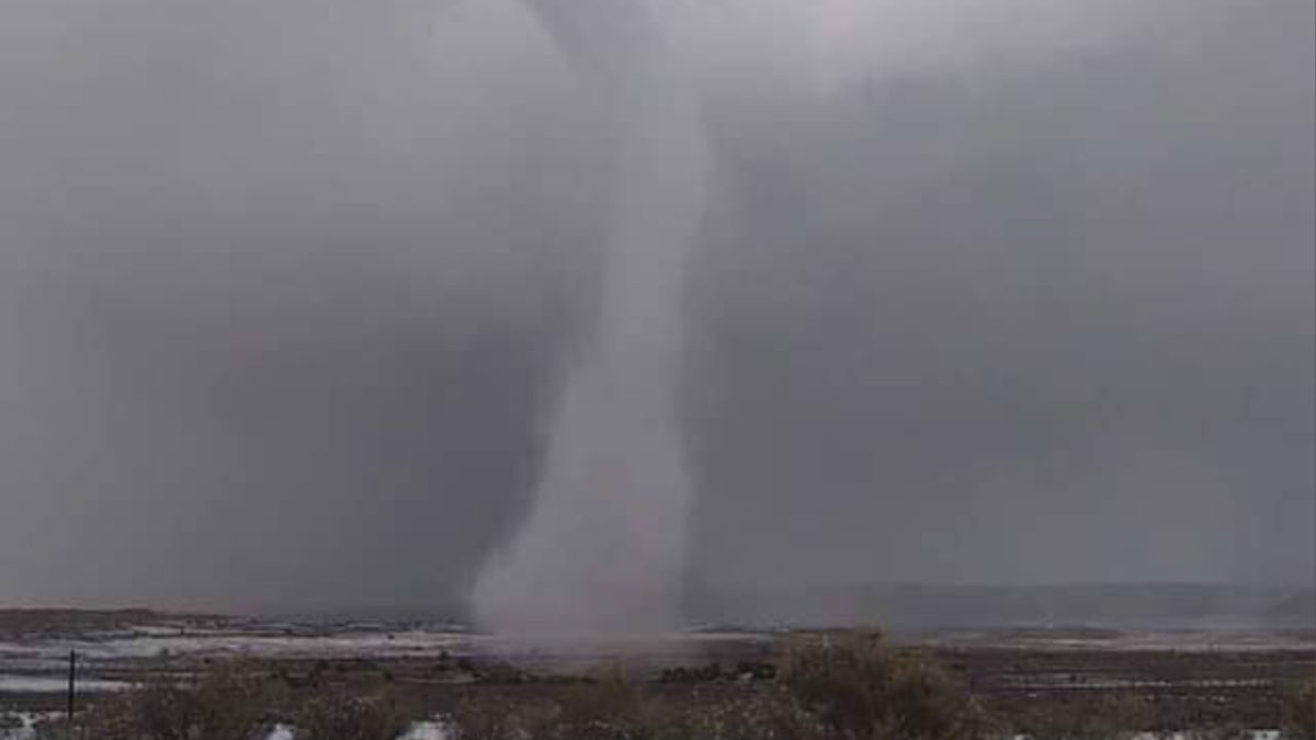
'Snownado' filmed during storm near Tinian, New Mexico

'Snownado' touches down on Navajo reservation
A rancher in New Mexico captured video of a "snownado."

It's when a snow storm meets a tornado. Parts of the state were under winter storm warnings and advisories.

Forecasters said more storms are expected to hit the state later this week.


Cloud Lightning

Lightning kills 4 tobacco workers in Zimbabwe

lightning
© Johannes Plenio
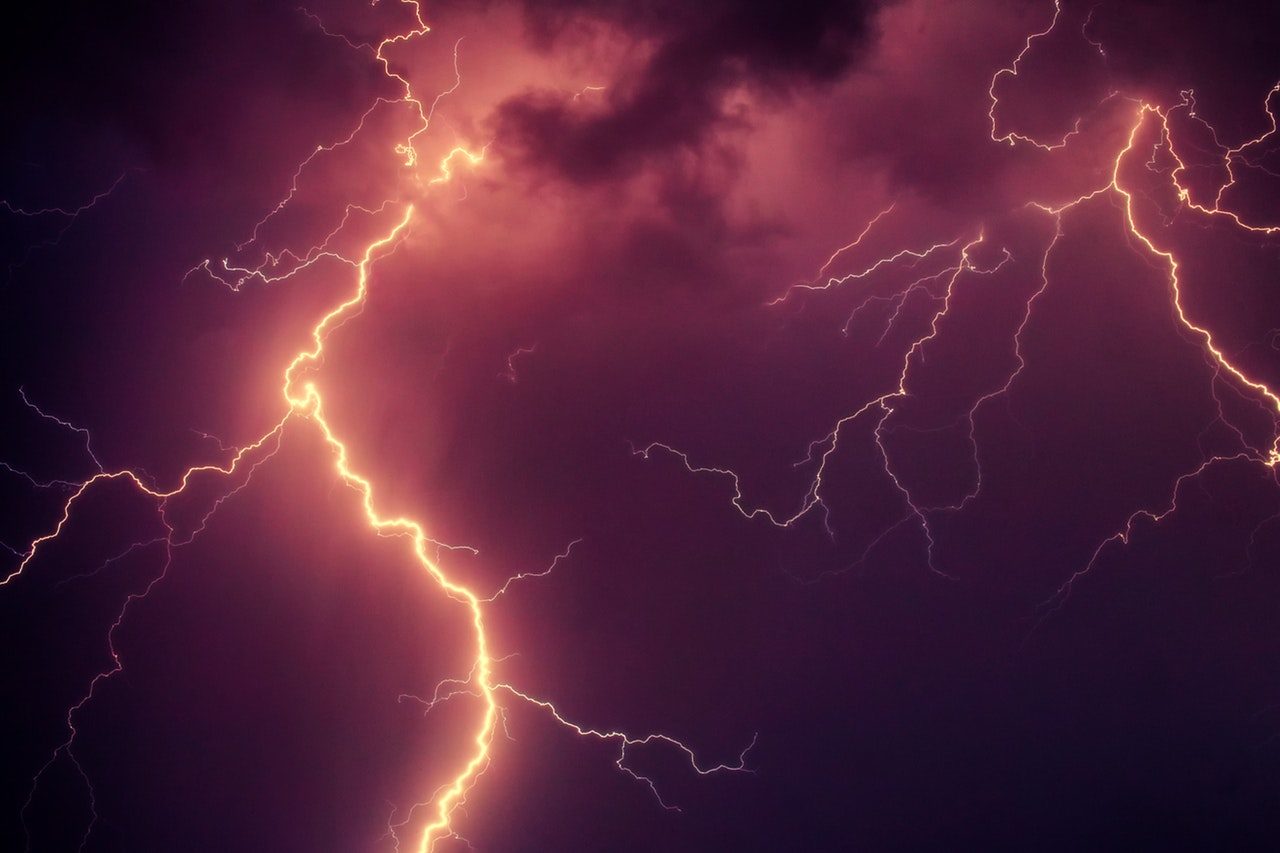
A bolt of lightning struck dead three Mvurwi tobacco farmers over the weekend who were working in the grading shed at Muswite Farm.

The trio, Tonderai Mungate (21) Onward Gede (16) and Jameson (22), all from plot number 74 at Muswite Farm, were burnt to death in a grass-thatched tobacco grading shed on Sunday.

Mashonaland Central police spokesperson Inspector Milton Mundembe confirmed the incident. "I can confirm the death of three tobacco farmers who were struck by a bolt of lightning and died while grading tobacco in a thatched shed on Sunday," he said.

Attention

Winter Storm Petra bears down on US East Coast with 200 million people in parts of 39 states in its path

Winter storm Petra
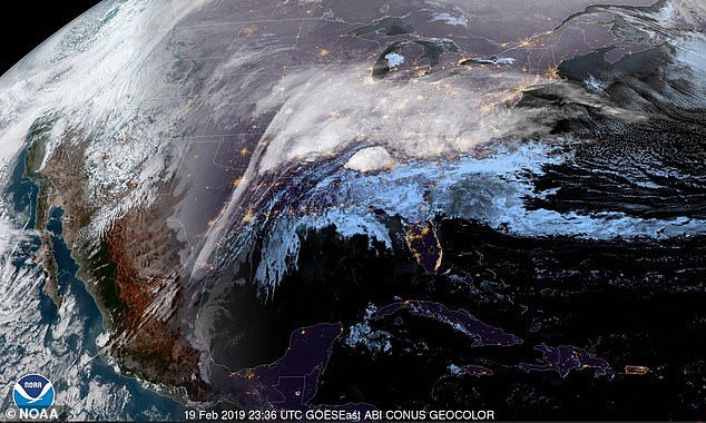
© NOAAA satellite of the storm is seen over the Eastern US as of 6.36pm ET on Tuesday
A massive winter storm with more than 200 million people in its path is bearing down on the East Coast.

Heavy flooding rains falling on much of the Deep South on Tuesday night are expected to change over to ice and snow as the system hits the mid-Atlantic and Northeast on Wednesday.

The storm is expected to affect parts of 39 states, and roughly 60 percent of the country's population is in its path.

'Snow will move from southwest to northeast into Ohio and the Mid-Atlantic region late tonight, changing to a wintry mix of sleet and freezing rain and eventually all rain for many,' the National Weather Service said in a flash bulletin on Tuesday.

The agency said that the time of changeover from snow to ice would vary by location, but would be delayed in the Central Appalachians, where significant ice accumulation of a quarter inch along with four to eight inches of snow could be possible.

'Major cities along I-95 from Boston to Richmond will likely see some from of frozen precipitation at the onset before changing over to rain,' the agency said.

Snowflake Cold

Adapt 2030 Ice Age Report: Grand Solar Minimum is the real national emergency

Squaw Valley Alpine Meadows set a record for snowfall in February with 205 inches for the month.
New legislation the books to declare climate change a national emergency, all the while ignoring the Grand Solar Minimum. Snow was going to be a thing of the past, record snow at Squaw Valley for 2nd year in a row, Mammoth buried, northern hemisphere snow totals up and a look at Ghost Apples, the future of our global agricultural output.


Comment: See also: