Storms
S


Cloud Precipitation

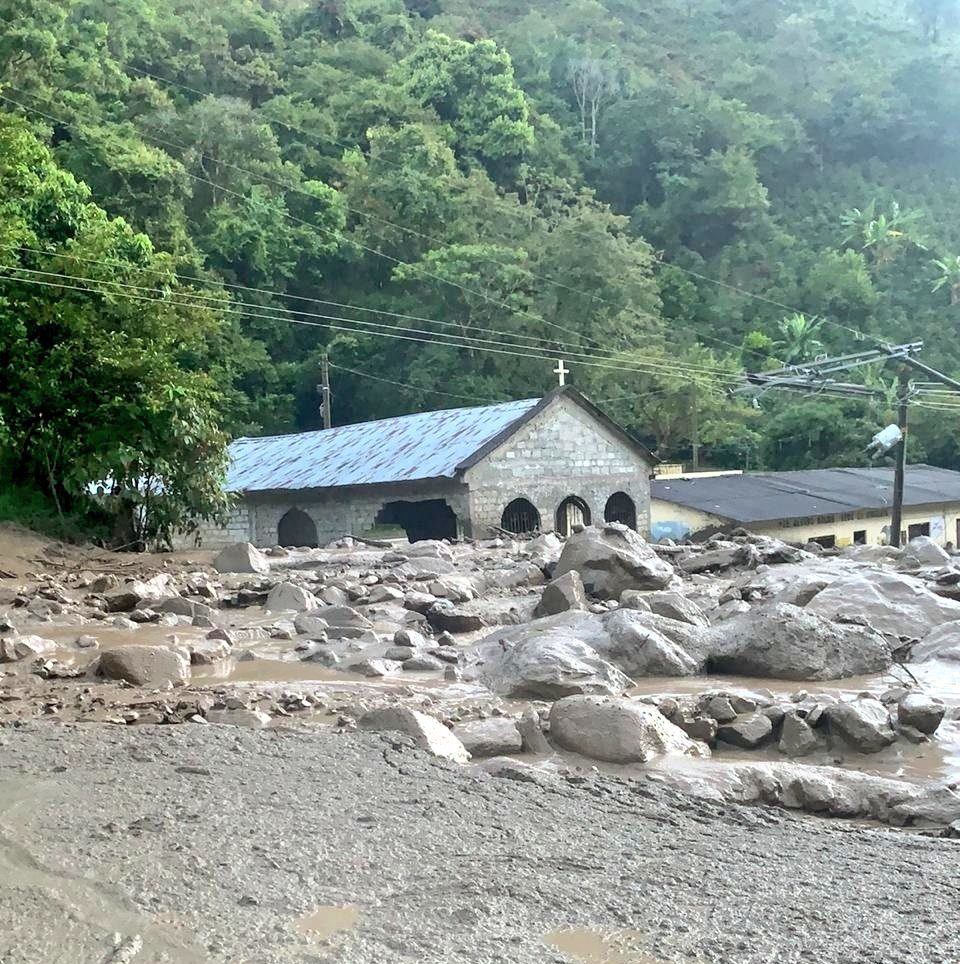
8 missing after flash floods in Tolima Department, Colombia

Aftermath of flash floods in floods Chaparral, Tolima Colombia, 26 December 2019.
© Bomberos ColombiaAftermath of flash floods in floods Chaparral, Tolima Colombia, 26 December 2019.
At least 8 people are missing after torrential rain triggered flash floods and mudslides in Tolima Department, Colombia.

The disaster struck during the early hours of 26 December, 2019. According to Colombia's National Unit for Disaster Risk Management (Unidad Nacional para la Gestión del Riesgo de Desastres - UNGRD) heavy rain caused the El Mono creek to break its banks, causing mud, rocks and flood water to sweep through the village of La Virginia in the municipality of Chaparral, Tolima.


Cloud Lightning

UPDATE: 41 dead after Typhoon Phanfone batters central Philippines on Christmas Day

Phanfone batters central Philippines
© Ronald Frank Dejon/AFPResidents wade through a flooded highway in Ormoc City in central Philippines on Christmas day
At least 11 people were reported killed and six others missing on Thursday after Typhoon Phanfone battered several central Philippine islands on Wednesday, Christmas Day, making seven landfalls before heading out to the South China Sea.

The typhoon brought chaos and a wet, miserable holiday season to millions in the mainly Catholic nation. Thousands were stranded at shuttered ports, while dozens of flights were cancelled.

Images posted on social media showed some areas in Capiz and Iloilo provinces under water. Thousands were forced to evacuate before the typhoon.

The Philippine Daily Inquirer news website reported that two people died in the province of Leyte, while eight were killed in Iloilo and Capiz. One died in the province of Biliran.

The Office of Civil Defense was quoted as saying that it is verifying reports of a dozen more fatalities.

Comment: Update: Bloomberg reports on 29 December:
Christmas Storm Kills 41 in Philippines, Destroys Homes, Crops

Typhoon Phanfone killed at least 41 people when it slammed into the central Philippines on Christmas Eve, with dozens still injured or missing, according to the agency which oversees disaster response.

The 21st cyclone to hit the Southeast Asian nation this year also damaged an estimated 1 billion pesos ($19.7 million) worth of crops and infrastructure, including more than 265,000 homes, the National Disaster Risk Reduction and Management Council said in a Dec. 29 bulletin.


Snowflake Cold

Snow continues to batter Mexico's northern regions

Snow
The government of Chihuahua issued a weather warning to residents about the arrival of the fourth winter storm of the year due to Cold Front No. 26.

The cold front, which began to enter the region Friday, will bring sleet and additional snow to the elevated areas of the Tarahumara mountain range. El Servicio Meteorológico Nacional also warned of possible snowfall in the mountains of Baja California, Sonora and Durango.


Snowflake

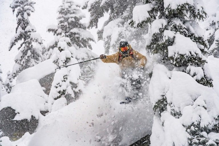
World Snow Wrap, Dec 27: Snowed-in in Southern California, more on the way in British Columbia

Revelstoke was our pick of the week last week and here’s why. Todd Legare making the most of the epic sno win Revvy this week.
© Daniel Ronnback PhotographyRevelstoke was our pick of the week last week and here’s why. Todd Legare making the most of the epic sno win Revvy this week.
It was another good week for many northern hemisphere resorts with more big falls in Europe last weekend, a nice mid-week top up in Colorado, good totals in Revelstoke and Lake Louise. Things are also on the way up in japan with heavy snowfalls in Hakuba at times today and 80cms due over the next week.

Japan

Thought we'd start with Japan this week as there is finally some good news coming out of the so-called powder paradise. As we all know it has been a very slow start to the season in Japan, with small snowfalls punctuated by short periods of mild temps and rain. It finally looks like the weather cycle is moving into winter mode with two good storms due across Honshu over the next week, the Grasshopper's latest forecast calling for 30-45cms for Honshu resorts in the next 24 hours. It started snowing to the base in Hakuba and Myoko this morning and this storm will be followed by another early next week with 20-40cms expected from next Tuesday through to Thursday. The snow is definitely needed as the cover is average in Hakuba and Shiga Kogen with limited on piste skiing although there was a little 10cm top up last Sunday night.

Cloud Precipitation

Severe storm hits Rwanda's capital Kigali killing 12

A tow truck rescues a vehicle after heavy rains in Kigali, Rwanda, Dec. 26, 2019. Heavy rains that hit Rwanda on Wednesday night killed at least 12 people
© Xinhua/Cyril NdegeyaA tow truck rescues a vehicle after heavy rains in Kigali, Rwanda, Dec. 26, 2019. Heavy rains that hit Rwanda on Wednesday night killed at least 12 people, a senior government official said here on Thursday.

Twelve people were reported dead across Rwanda on Wednesday night following heavy rains that swept the entire country, officials said on Thursday.

The Ministry of Emergency Management said more could have died, had government not relocated people from wetlands across the capital Kigali.

It was a tough task for Rwanda Police officers who endured heavy rains that hit almost every corner of the country on the Christmas eve, to work beyond expected and rescue people who were in the middle of deadly floods caused by heavy rains.

Rwanda Meteorology Agency warned more rains are expected between today, December 26 throughout December 28.

The agency said the cause of the heavy rains across Rwanda was due to strong winds that abruptly made a U-turn from the Western part of Rwanda - driving away moisture within the Congo forests towards Rwanda.

Snowflake Cold

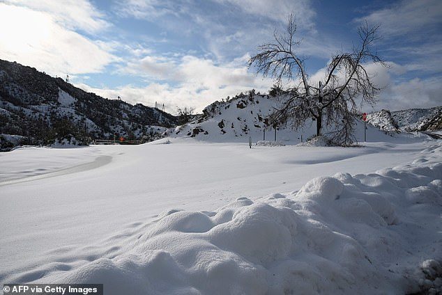
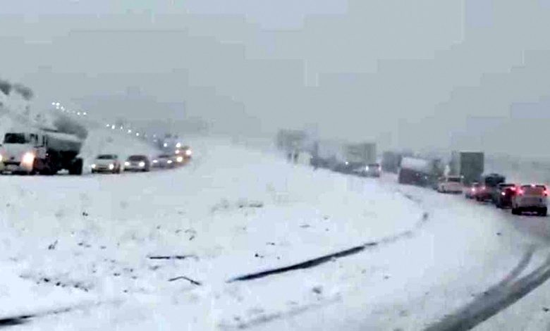
Winter storm blankets Southern California mountain resorts with up to 3 feet of fresh snow

heavy snowfall shuts down major roads as
Heavy snowfall shuts down major roads
Though mountain resorts in Southern California received several feet of fresh snow Christmas Day into Thursday morning, some skiers and snowboarders hoping to take advantage are out of luck.

In Wrightwood, Mountain High Resort was doused with up to three feet of white powder, but was closed Thursday due to the severity of the winter storm. The resort was expected to reopen Friday.

Big Bear Mountain and Snow Valley Mountain resorts both saw a few inches fall and would be open.

Pine Mountain Club in southwestern Kern County also received nearly two feet of snow and more was expected to fall.


Cloud Lightning

Lightning bolt kills 2, injures 3 in Bogor, Indonesia

lightning
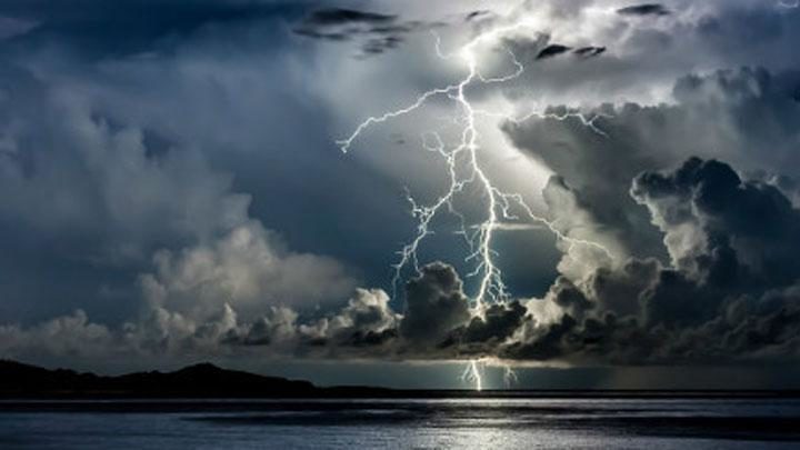
Five people were struck by lightning in Jasinga, Bogor. On Thursday afternoon, December 26, they were sheltering from the rain in a sawmill when the lightning struck, killing two and injuring the other three.

Jasinga Police Precinct chief Adj. Comr. Lukito Sadoto said that the two people who died were RT (53) and JD (31).

"Both were residents of Kampung Karawang, Cikopomayak Village, Jasinga District," Lukito said on Thursday.

Tornado2

National Weather Service confirms rare tornado hit Ventura Harbor area, California

ventura harbor
© Senerey de los Santos/KEYT
The National Weather Service confirms a rare tornado struck Ventura late Christmas night causing some minor damage to Ventura Harbor.

According to the National Weather Service's preliminary storm report, the short-lived tornado struck around 9 p.m. and originated near the Santa Clara River. It moved less than one mile across the harbor.

A NewsChannel 3 crew went to the harbor Thursday morning and found some tree damage. A boat rental business also suffered damage to one of its kiosks.

The NWS says there was also damage to clay roof tiles and several canopies attached to businesses in the harbor.

The tornado was about 25 to 30 feet wide, according to the NWS.

Meteorologist Jason Stiff says the tornado likely came from a different storm system than the one that prompted a Tornado Warning in the southeastern corner of Santa Barbara County Wednesday night.

Cloud Grey

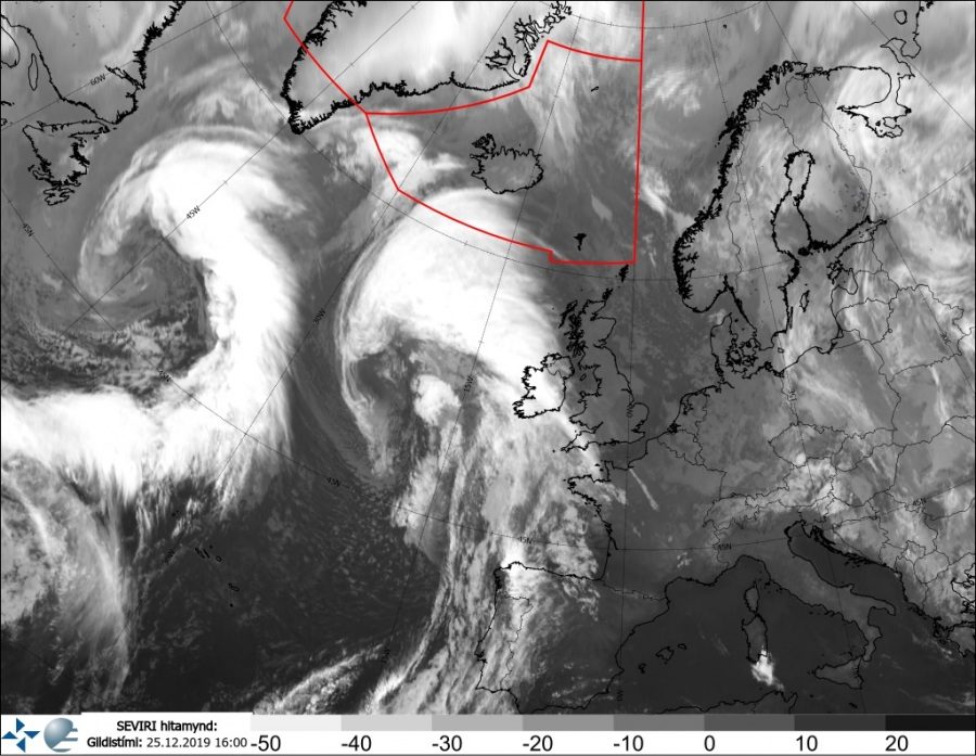
Twin monster cyclones rolling across the North Atlantic on Christmas day

Twin monster cyclones
With an active pattern over the North Atlantic lately, there are now two very large surface cyclones underway. The twins are trapped between two ridges on its east and west side, slowly drifting north. Satellite imagery is revealing some very nice structure of the systems. The eastern cyclone of the twins is the cyclone we have discussed last night - it will deliver severe winds threat towards Ireland tonight.

The current pattern across our side of the Northern Hemisphere is resulting in blocking high across eastern Canada and west-southwest Europe, while the deep trough is trapped in between - over the North Atlantic. With a persistent advection of cold air mass from the Arctic region, the results are frontal systems and cyclones. Today's, Dec 25th, 12 UTC analysis by OPC NOAA indicated both deep cyclones have around 970-980 mbar, the western one being the strongest. Both are developing gale force winds on their south and storm-force winds on their immediate west side. There, the strongest pressure gradient is present.

Comment: Storms battering Europe have been fairly relentless and brutal over the past few months - and it seems there's no sign of them abating:


Snowflake

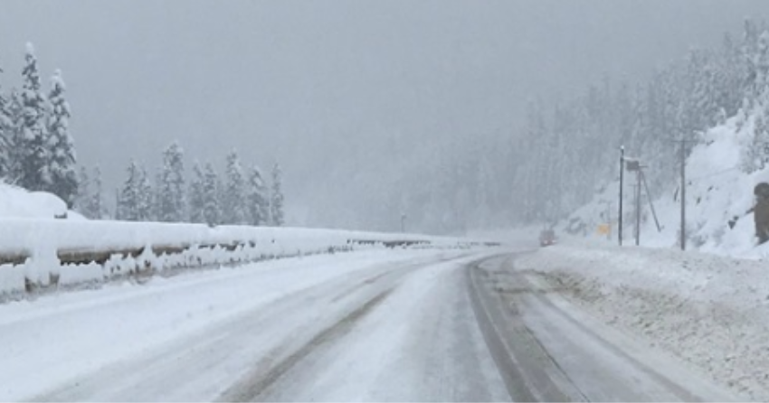
Over a metre of snow dumped on Okanagan highways in British Columbia

SNOW PASS
The Coquihalla and Allison Summit were hit the hardest

The winter storm that blew through the Okanagan and the B.C. interior last week dumped more than a metre of snow on the Connector, the Coquihalla, Highway 1 and other mountain passes, according to Environment Canada.

At the height of the storm, the weather agency recorded between five and 10 centimetres of snow accumulating an hour, something that is very rare according to Environment Canada meteorologist Bobby Sekhon.

"I wouldn't say that that was very normal," said Sekhon. "Keeping that rate up for a 12-hour stretch was quite exceptional."