OF THE
TIMES
A nation that continues year after year to spend more money on military defense than on programs of social uplift is approaching spiritual doom.
Harari said, he and the likeminded cabal of shadowy world masters will "build an Ark and leave the rest to drown." Moonraker [Link]
With each such step we come closer to the fulfillment of Irlmaier's prophecy.
A once "prosperous" country has been ruined by its leaders and "oligarchs," the Belarusian president has claimed Yes, it is true; and the reason...
A precedent has been set, at least in the minds of property owners along the border.
Big Ben and the Royal Household Cavalry appear to be mainstays of British society. To have them both go off the rails at the same time is rather...
To submit an article for publication, see our Submission Guidelines
Reader comments do not necessarily reflect the views of the volunteers, editors, and directors of SOTT.net or the Quantum Future Group.
Some icons on this site were created by: Afterglow, Aha-Soft, AntialiasFactory, artdesigner.lv, Artura, DailyOverview, Everaldo, GraphicsFuel, IconFactory, Iconka, IconShock, Icons-Land, i-love-icons, KDE-look.org, Klukeart, mugenb16, Map Icons Collection, PetshopBoxStudio, VisualPharm, wbeiruti, WebIconset
Powered by PikaJS 🐁 and In·Site
Original content © 2002-2024 by Sott.net/Signs of the Times. See: FAIR USE NOTICE

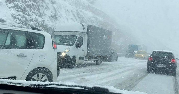
Comment: Cassandra said: 'Forget global warming, prepare for Ice Age'