OF THE
TIMES
As a side note, the Ukraine is now forced to "import" electrical energy from neighboring countries : [Link] I hope those countries - EU countries,...
I wonder if one can outflank it. Sticking black tape over the lense, or a print-out of the "everything OK" image it is supposed t see ? I would...
Poking the bear and kicking the dragon. I wonder if this is the recipe for success ...
Maybe the militaries will shut down their sonar in the Subs before they kill all sea life.
Trump card is the court joker...aka clown world. period... case closed: diagnosis "unfit to lead" the U.S. is the laughing stock of the world....
To submit an article for publication, see our Submission Guidelines
Reader comments do not necessarily reflect the views of the volunteers, editors, and directors of SOTT.net or the Quantum Future Group.
Some icons on this site were created by: Afterglow, Aha-Soft, AntialiasFactory, artdesigner.lv, Artura, DailyOverview, Everaldo, GraphicsFuel, IconFactory, Iconka, IconShock, Icons-Land, i-love-icons, KDE-look.org, Klukeart, mugenb16, Map Icons Collection, PetshopBoxStudio, VisualPharm, wbeiruti, WebIconset
Powered by PikaJS 🐁 and In·Site
Original content © 2002-2024 by Sott.net/Signs of the Times. See: FAIR USE NOTICE

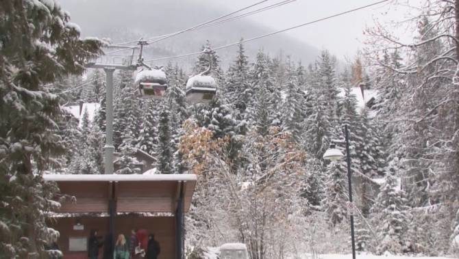
Comment: While it could be argued that every winter season sees a record of either early snowfall or amount of snow occurring at some specific locality, what so far has marked this year out across the Northern Hemisphere, is the number of such records (see here to search for a selection). To further emphasize the trend of early snowfall, reports started appearing in August originating from Romania, Switzerland, Russia and Labrador and Alberta in Canada.
The start of September brought snow to Georgia 3 months early, while Mount Washington in New Hampshire saw the white stuff on the first day of the month. By the middle of September early snowfall had left a 12 foot snow base on mountains in Alaska, while Mammoth Lakes in California had snow one month earlier than usual. Over several different mountain ranges in Europe it was a similar picture with the high ground in Austria receiving a foot of snow.