OF THE
TIMES
The National Weather Service confirms that an EF-1 tornado briefly touched down in Southwest Houston during a rash of tornadoes across Texas on Thursday.
A small, yet powerful tornado caused isolated damage to the Meadows Place neighborhood off of Kirkwood Road and Bissonnet Street.
According to a survey by the National Weather Service, wind speeds topped 90 miles per hour.
Several homes along Plumbrook Drive had damage, but one was severely damaged.
[...]
Neighbor's security cameras captured the tornado moving through the neighborhood.
A few doors down, a security camera captured the moment a USPS mail truck was overturned with the postal worker still inside.
Thankfully, the person was okay and able to climb out.
"The safety and well-being of our employees are of the utmost importance to the U.S. Postal Service," said a USPS spokesperson. "In the case of the recent weather-related incident, which occurred on December 27, we can report that the USPS employee is safe and recovering. The postal vehicle was retrieved, secured, and taken to the local Post Office. Additionally, the mail was recovered immediately, and the Postal Service took steps to ensure prompt delivery of all items. We appreciate and value our dedicated employees. The USPS will continue to monitor weather conditions closely and implement measures to safeguard both our employees and the mail they handle."
It's that video and other tale tell signs that helped the National Weather Service figure out what happened here.
"There is some evidence of some twisting," said Science and Operations Office at the National Weather Service, Lance Wood. "So, this really looks like a brief touchdown and then that's it."
Wood was working the radar on Thursday when the Natoinal Weather Service was issuing tornado warnings.
However, a small, quick, yet powerful tornado like this one can sometimes slip under the radar.
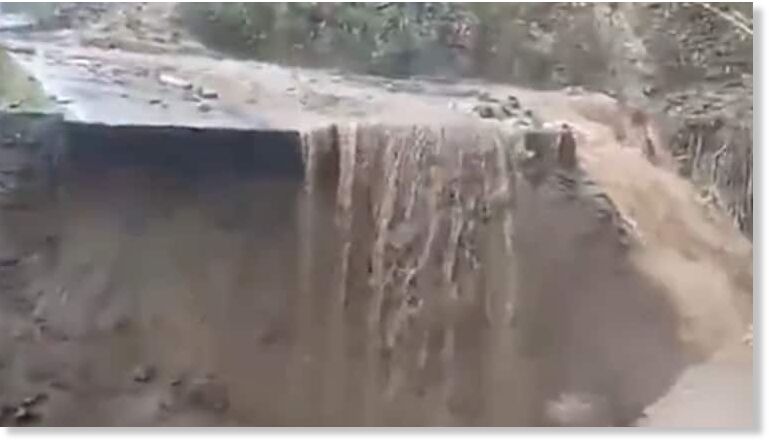
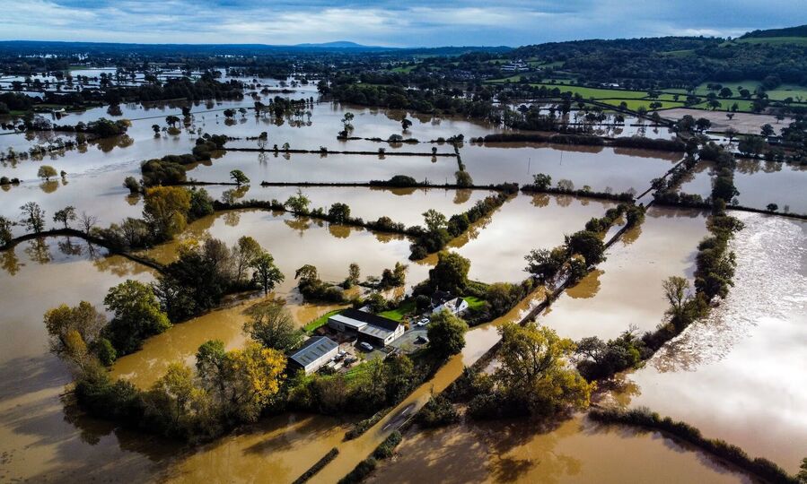
In the last 24 hours, heavy and locally intense rains have occurred towards areas of the northern coast of Las Tunas in eastern Cuba with accumulations that have exceeded 100 and 200 mm.
For the rest of the day, both the GFS weather model, and the mesoescale model WRF show significant accumulation towards areas of the center of the country, which come to be to lesser measure for the western region and concentrated towards the north coast, these rains may come to be again strong and intense.
The situation continues to be related to the transport of low clouds coming from the sea and abundant moisture content in the different layers of the troposphere.
By tomorrow these unstable conditions will move further west over the western region.
Comment: A day earlier: Man dies after shark attack off Central Queensland coast in Australia