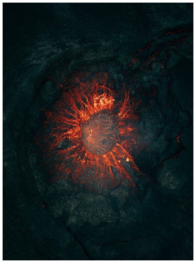
A magnitude-6.2 earthquake occurred in the Pacific Ocean, south of La Paz Department, El Salvador, at around 11:18 on Jan. 5. The epicenter was about 29 km (18 miles) southwest of Playa Costa Del Sol and 68 km (42 miles) south of San Salvador.
The tremor occurred at a depth of about 49 km (30 miles), and shaking was probably felt in most of El Salvador and areas in southeastern Guatemala, including the capital, Guatemala City, western and southern Honduras, and northwestern Nicaragua.
There have been no initial reports of damage or casualties as a result of the earthquake. It could take several hours until authorities can conduct comprehensive damage assessments, especially in remote areas. Aftershocks are possible over the coming days. The event has not prompted any tsunami advisories.
An earthquake of magnitude 5.8 struck Ethiopia, the United States (US) Geological Survey and the German Research Centre for Geosciences said on Saturday.
The quake's epicenter was located 88 miles (142 km) east of the capital, Addis Ababa, and was at a shallow depth of 10 km(6.2 miles), the USGS said.
The volcano in northeastern Ethiopia was showing signs of starting to erupt on Friday, prompting authorities to move residents to temporary shelters, a state-affiliated broadcaster and a government geological office said.
A new vent producing a powerful jet of gas, rocks and mud has been observed at Dofen volcano in Dulecha district a short time ago. This is the area closest to the ongoing seismic swarm in Ethiopia's Afar region, which we suspect to be caused by the intrusion of magma.
The embedded video below although not clear enough to see much details shows what might be phreatic or hydrothermal explosive activity, when ground water is heated by fluids from magma underneath and flashes to steam, escaping in this case from an open ground crack. It is not entirely clear if a vent had existed at the site before or if it opened recently.
There are no further details available immediately, but this clearly is a sign of escalation of the crisis and strongly hints that a volcanic eruption could be in the making.
A very strong magnitude 6.1 earthquake occurred in the South Atlantic Ocean near Visokoi Island island, South Georgia and the South Sandwich Islands, in the morning of Wednesday, Jan 1, 2025 at 11.48 am local time (GMT -2).
The epicenter was located 2 393 km (1 486 miles) SSW of Edinburgh of the Seven Seas, Tristan da Cunha, Saint Helena, and 2 554 km (1 587 miles) ENE of Ushuaia, Tierra del Fuego, Argentina.
Injured people have been arriving at hospital, reports have said, on the South Pacific island of Vanuatu after a powerful earthquake struck just off its coast, damaging buildings and causing landslides.
The tremor was centred near the capital, Port Vila, the largest city on the group of 80 islands, at a depth of 35 miles (56km) below the earth's surface on Tuesday, the US Geological Survey (USGS) said.
It was followed by a magnitude 5.5 aftershock at the same spot and the shudders continued throughout the afternoon and evening local time.
Dan McGarry, a journalist based in the city, told The Associated Press he heard of one death in the quake from a police officer outside Vila Central Hospital where he saw three people on gurneys "in obvious distress".
The southern Pacific nation of Vanuatu sought international aid after a 7.3-magnitude earthquake killed at least 14 people, including two Chinese citizens, and damaged buildings and other infrastructure.
The UN estimates that 116,000 people could be affected, highlighting urgent humanitarian needs in the aftermath of the earthquake that hit the nation of around 334,000 people.
Vanuatu Prime Minister Charlot Salwai declared a state of emergency, calling for international aid.
The Vanuatu government is "reporting 14 confirmed fatalities and 200 treated for injuries at the main hospital in Port Vila... Rescue operations continue to free those trapped after the quake, and attention turns to urgent needs like first aid, shelter and water," said Katie Greenwood, head of delegation for the Pacific region at the International Federation of Red Cross and Red Crescent Societies (IFRC).
Maule and Santiago were rocked by a 6.4-magnitude earthquake that occurred in central Chile on Friday. Because of its location on the Ring of Fire, Chile is vulnerable to earthquakes. In the last ten years, there have been over 10,000 earthquakes, with 2015 being a particularly active year. In 1960, the most powerful recent earthquake had a magnitude of 9.5.
A powerful 6.4 magnitude earthquake, according to the USGS, struck central Chile on Friday, shaking the region of Maule and sending tremors as far as the capital, Santiago. The earthquake was estimated to have started at a considerable depth of 100 kilometers (62 miles) below the surface by the European-Mediterranean Seismological Centre (EMSC).
The region's susceptibility to earthquakes is highlighted by this most recent seismic event. The infamous "Ring of Fire," a horseshoe-shaped area of extreme geological activity that encircles the Pacific Ocean, is where Chile is located.
A series of strong earthquakes - the strongest two measuring 6.3 - has struck the North Pacific Ocean near Alaska's Adak Island, seismologists say. No tsunami warnings were issued and there were no immediate reports of damage.
The first earthquake happened at 9:57 a.m. local time on Sunday when a 6.3-magnitude earthquake struck about 70 miles (113 km) southwest of Adak Island, which is part of the Andreanof Islands group of the Aleutian Islands.
Adak Island, with a population of about 300 people, is nearly 1,200 miles southwest of Anchorage.
After several aftershocks, a second 6.3-magnitude earthquake hit the same area at 3:15 p.m. local time. This was followed by another series of aftershocks, including a 6.1 at 3:38 p.m., according to the U.S. Geological Survey (USGS).
Comment: A day earlier in the region: Dofen mountain (Afar region, Ethiopia): volcano in the area of ongoing quakes starts erupting jets of steam and mud