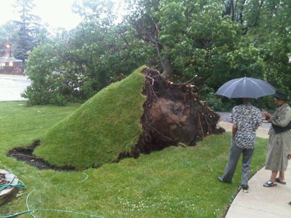
© Derrickr_Smg / lockerz.comWoah! A derecho uprooted a huge tree in Chicago, Ill.
A severe storm is sweeping across the Midwest today with winds so strong that it has a special name: derecho.
A derecho (from the Spanish adverb for "straight") is a long-lived windstorm that forms in a straight line - unlike the swirling winds of a tornado - and is associated with what's known as a bow echo, a line of
severe thunderstorms. The term "derecho" was first used over a century ago to describe a storm in Iowa. Across the United States, there are generally one to three derecho events each year.
The Midwest derecho has wind gusts between 60 and 80 mph (97 to 129 kph), according to the
Weather Channel. Iowa, Wisconsin, Michigan and Illinois have all reported severe winds. These severe winds are the main cause of damage from the storm, said Rose Sengenberger, a meteorologist with the National Weather Service in Romeoville, Ill., but added that people should be on the lookout for other dangerous weather.
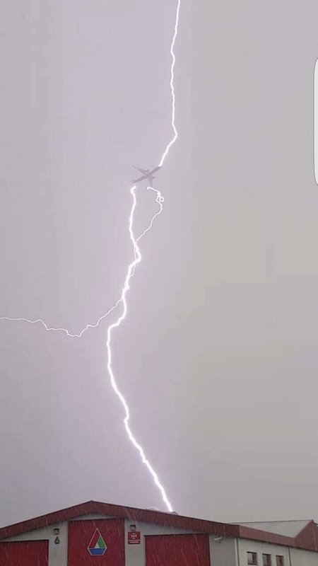
"With any long-lived storm, there is also the threat of lightning and heavy rain," Sengenberger told OurAmazingPlanet.
