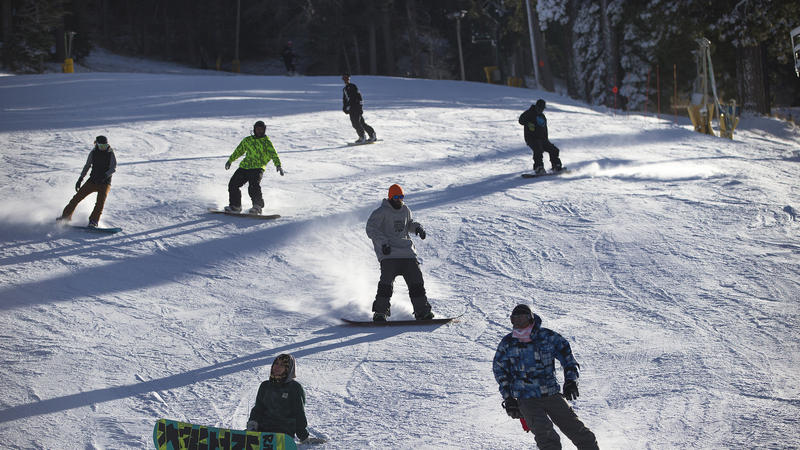
© LA TimesA series of winter storms have dumped large amounts of snow in the Sierra, and several counties are under freeze warnings through the weekend.
A deep freeze in California's Sierra is continuing, with one spot east of Redding recording minus-11 degrees.
An earlier version of this article said the low in California was minus-14. It was actually minus-11, according to the National Weather Service.
According to the National Weather Service, the Bogard Rest Area in the Lassen National Forest recorded that frigid temperature between Friday night and Saturday morning. The rest area is north of Susanville.
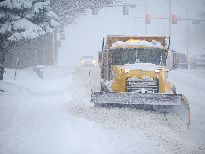
A few other mountain areas posted below-zero temperatures overnight. A series of winter storms have dumped large amounts of snow in the Sierra,
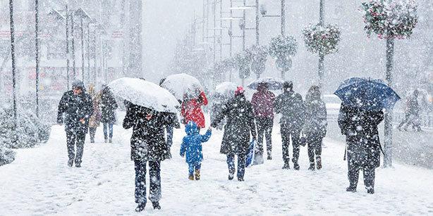
with some places receiving more than 20 inches. The NWS said another storm could move in by Thursday. A good blanket of snow is now sticking to the ground across the mountain range, according to the weather service. The cold temperatures are good news for ski resorts, which are off to a strong seasonal start after several years of drought conditions.
A freeze warning was in place in the Sacramento Valley for Sunday. Officials warned residents to protect outdoor plants and pipes.
