The cemetery is one of dozens of finds that have emerged due to the hot weather which include a Roman villa, prehistoric animal enclosures and an iron age farmstead.
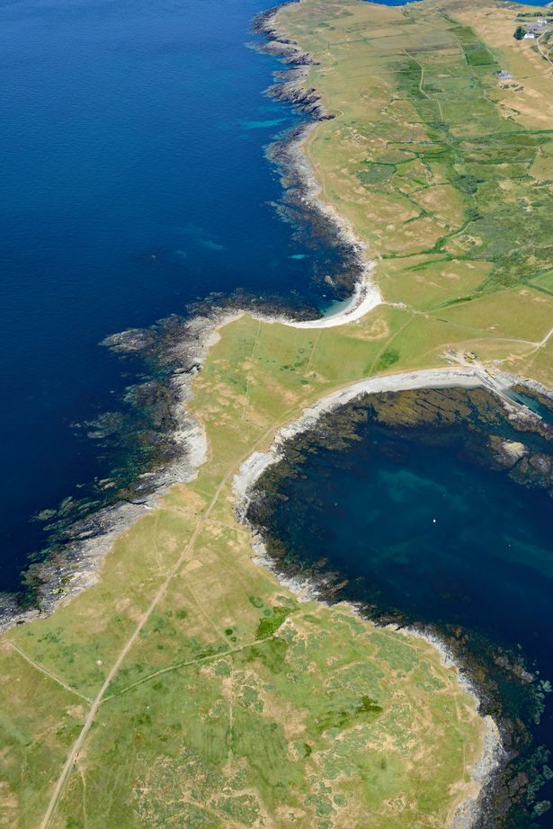
The "crop marks" for the large Bronze Age barrow cemetery were discovered on the Llyn Peninsula in Gwynedd by Senior Aerial Investigator Dr Toby Driver from Royal Commission on the Ancient and Historical Monuments of Wales (RCAHMW).
What are crop marks?
Cropmarks are a way which archaeological features below the soil can be visible from the air or a high vantage point.
Along with parch marks, soil marks and frost marks can reveal buried archaeological sites not visible from the ground.
What has been discovered?
As well as the Bronze age settlement the hot weather has revealed:
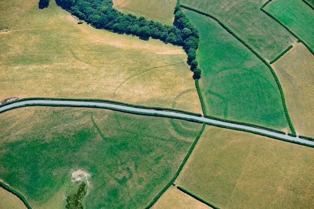
- Medieval square barrows in south Gwynedd
- A prehistoric enclosure in the Vale of Glamorgan, with the faint footings of a probable Roman villa within
Elsewhere crops still have a couple of weeks to ripen but are already showing "green on green" cropmarks of prehistoric settlements.
There was a surprise in the Vale of Glamorgan where severe drought at a known prehistoric settlement showed new cropmarks of a Roman villa within its modified ramparts.
It was known that Roman villas were built within prehistoric settlements elsewhere at Whitton Lodge and Trelissey but this is a new example.
Who is finding all these crop marks?
The searches are conducted by senior aerial investigator Dr Toby Driver.
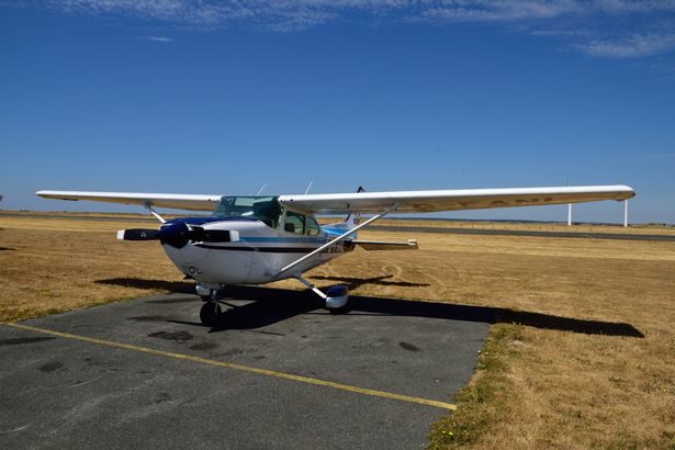
All flights start at Haverfordwest Airport in Pembrokeshire with stopovers made for fuel at Caernarfon, Welshpool or even Gloucester airports so they can reach all corners of Wales.
Dr Driver said; "I've not seen conditions like this since I took over the archaeological flying at the Royal Commission in 1997. So much new archaeology is showing it is incredible.
"The urgent work in the air now will lead to months of research in the office in the winter months to map and record all the sites which have been seen, and reveal their true significance."
How do they know what these finds are without digging down into the soil?
According to a RCAHMW spokeswoman the buildings are identifiable with 90% accuracy.
They judge the shape of the buildings based on other crop marks in the area that have been excavated. Through this comparison they have a good idea of what is below the ground.
What happens to the buildings after they are discovered?
There is a very good reason why the exact locations of the discoveries are not revealed.
According to a RCAHMW spokeswoman: "A lot on private land so we do not want people to walk on to other people proprerties. Neither do we want metal detectors disturbing the remains.
"It will go on our records and other investigators may want to carry out more work on it. This is the first stage. They could be other non invasive tests and potentially an excavation in the future."
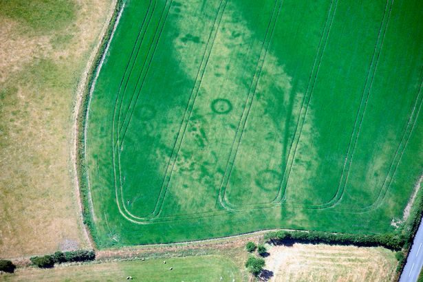
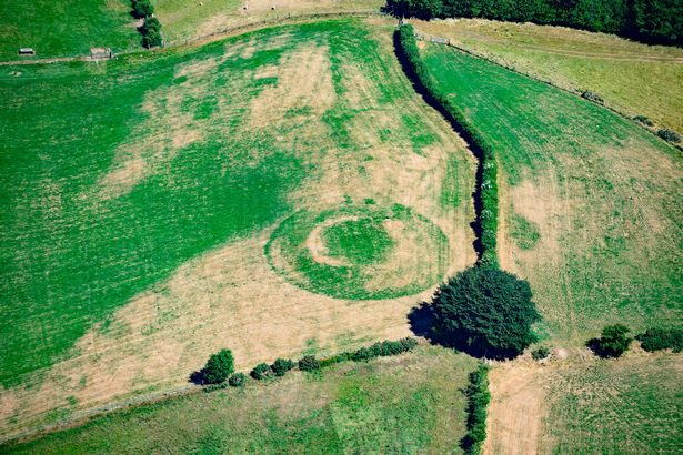
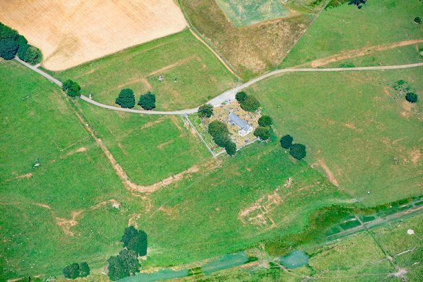
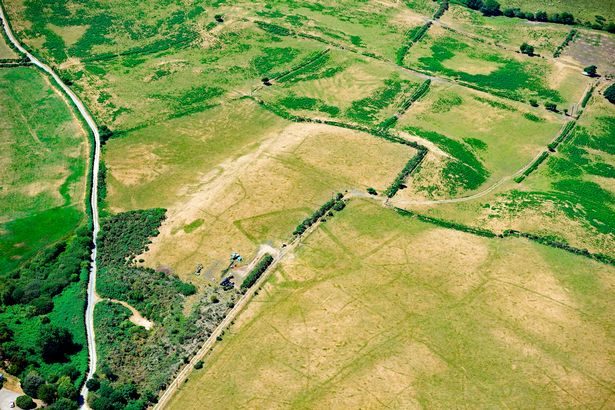
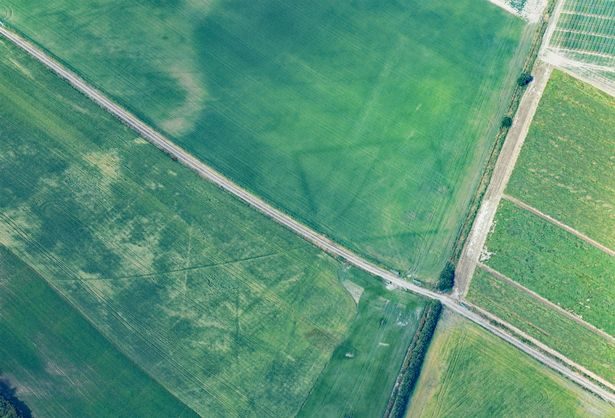

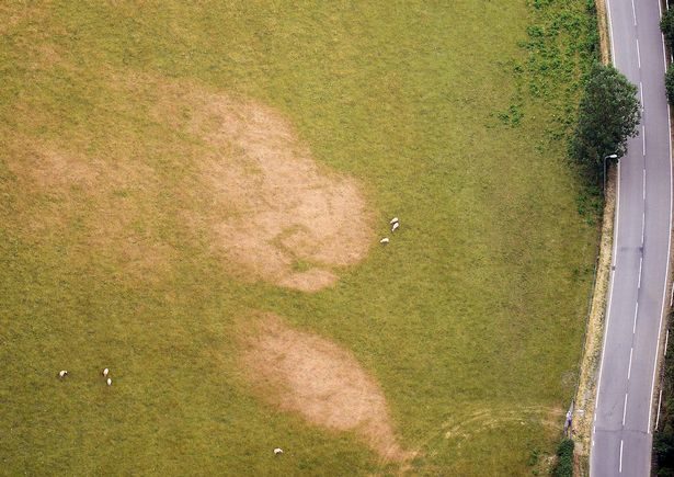


If you notice, most are greener. I would guess that those are made of some rather porous stone (e.g., limestone) which hold water longer than areas around them.
Others seem to be brown and dry. That is probably because they're made from stone that's either:
a) non-porous stone; (e.g., basalt) and/or,
b) cover a large flat area just below the surface preventing even watering from staying long enough to water those areas.
That's my best guess and it's likely correct.
R.C.