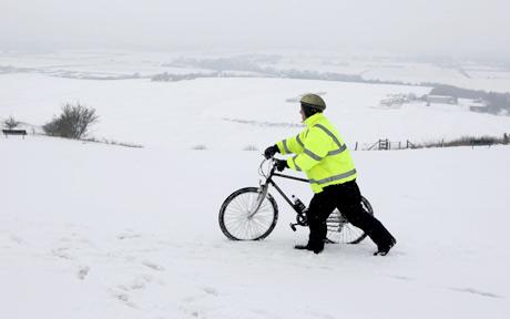
© PASnow could fall on high ground
Winter will come early to Britain next week as snow is forecast for the north while the south will shiver in frosty sub-zero nights.
The cold snap will seem worse after temperatures soared to 75F (23C) last weekend.
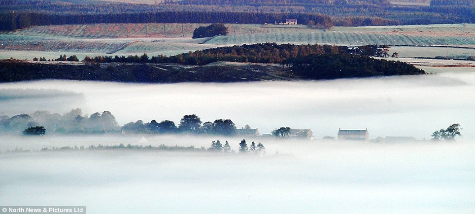
Forecasters warned snow is due in Scotland and possibly northern England next week, with frost as far south as southern England, which will see bitter 48F (9C) daytime maximum temperatures.
"A northerly air stream in the middle part of next week means coldest conditions will probably be in Scotland, with sleet or snow showers and snow settling on higher ground," said forecaster Brian Gaze of independent forecasters The Weather Outlook.
"Even southern England will feel distinctly chilly."
Forecasters Positive Weather Solutions have already predicted a 'white-out' winter almost as harsh as last winter - with widespread snow, temperatures down to -4F (-20C) and transport chaos.
The Weather Outlook, which has an accurate seasonal forecasting record, warned the UK is now being gripped by a bitter series of winters
comparable with the harsh 1939-42 winters which made conditions so horrendous during the Second World War.


Comment: For more information on unusual weather in New York, see this Sott article:
New York City Hit by a TORNADO: One Person Killed and a Trail of Destruction Left as 100mph Winds Rip Through City