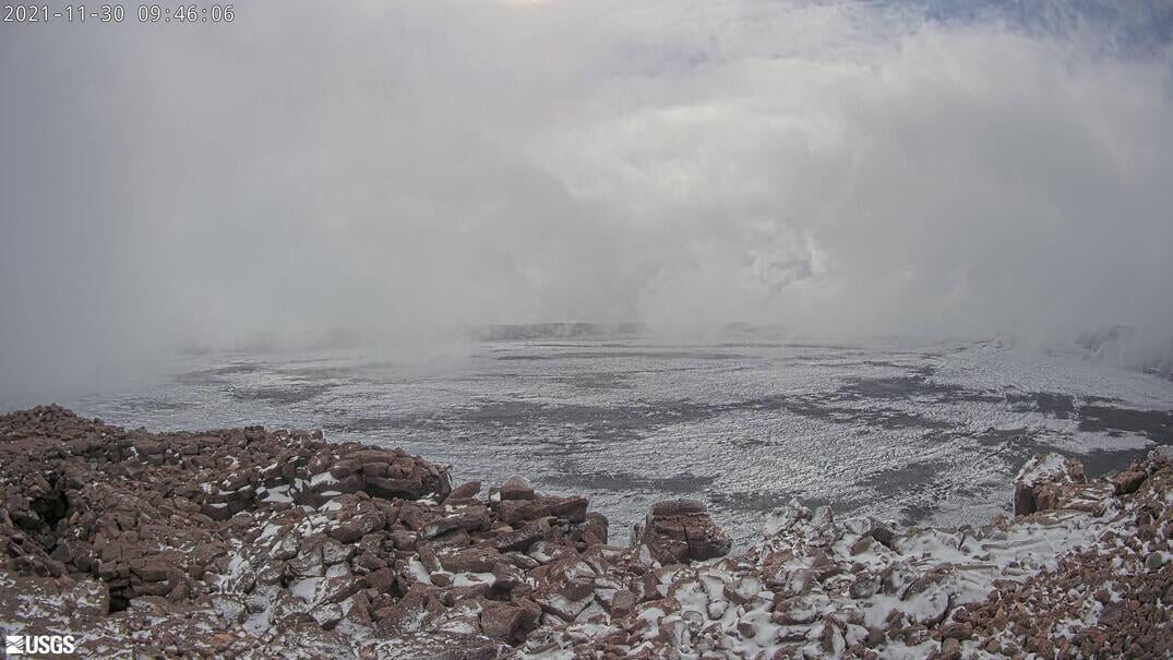
The National Park Service said that due to the high winds and winter weather conditions, the summit of Mauna Loa is temporarily closed to overnight use. "Based on the weather forecast, the park will consider reopening the summit on Wednesday," park officials said.
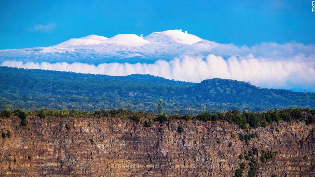
The access road to the summit of Maunakea remains closed to the public at the Visitor Information Station at the 9,200 foot level due to wintery weather and icy road conditions, rangers say.
"Unoperable conditions due to sustained winds, extensive cloud cover and saturated air masses will characterize the next five nights," the Maunakea Observatories forecast reports. From the Tuesday discussion:
The current weather scenario is dominated by the upper level low now placed just a tad south of the Big Island. This system and its associated very cold pool of air, will stall in the area for the next 24+ hours, and will continue to provide instability and support pockets of thunderstorms, mostly along the eastern side of the island and along the eastern slopes of the mountains.As of noon on Tuesday, there were no weather warnings posted by the National Weather Service for Hawaiʻi island.
Therefore extensive periods of fog, ice and frozen precipitation are very likely throughout the next couple of days. This system is expected to wander off toward the northeast by Wednesday pushed eastward by a very deep upper level trough which is expected to develop on Thursday. This system and the associated front will stall over the area from Friday onward.
Because of the lingering moisture from the previous system and the strength of this second one, which is expected to develop in a very strong upper level low, chances are that conditions will worsen with thunderstorm/snowfall/ice. Surface gradients are also projected to strengthen then and surface winds to increase above warning level particularly on Saturday night. Overall unoperable conditions will characterize this forecasting period.


Earth's upper atmosphere is becoming increasingly energised.