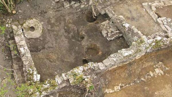
The foundations of a 5,700-year-old Neolithic house, evidence of Bronze Age burials and Iron Age smelting have been discovered by archaeologists as a result of excavations at the sites of two road realignment projects in Co. Cork.
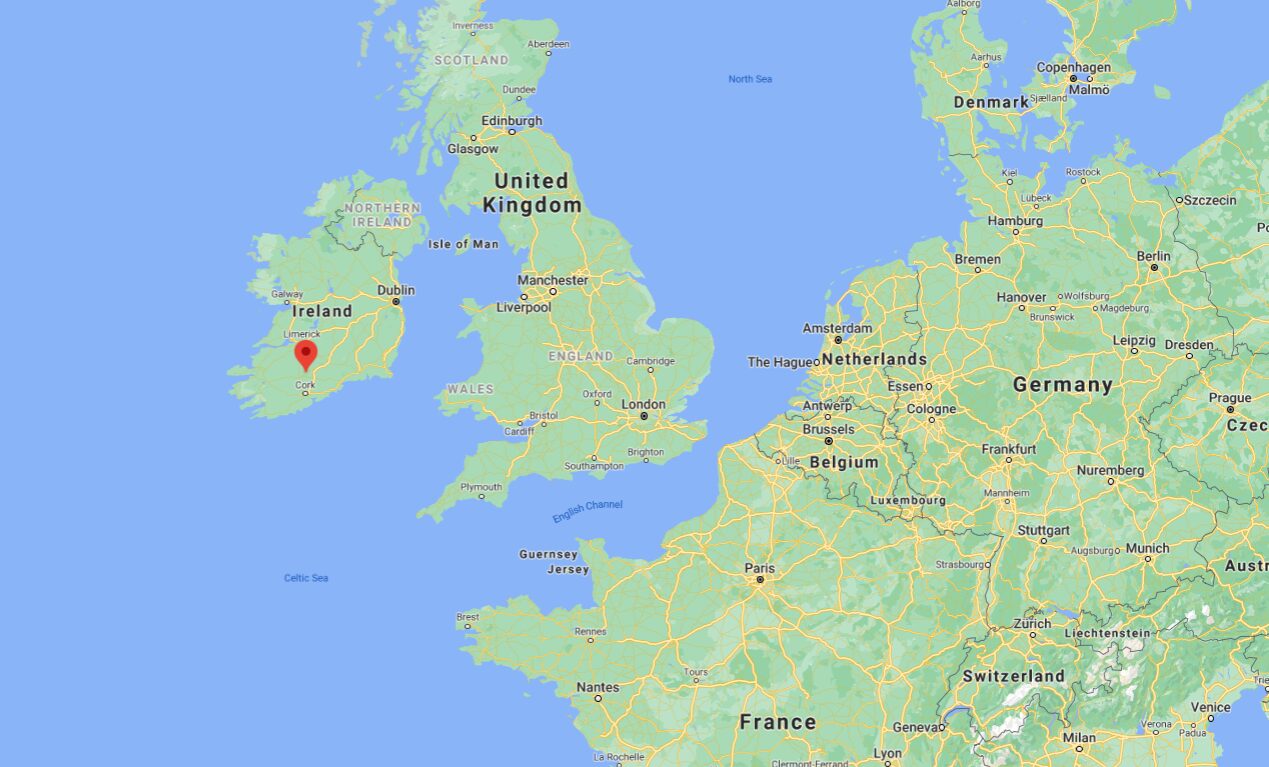
They were unearthed in a total of eight separate excavations carried out after the county council undertook two road realignment projects on the N73 (the main road between Mallow and Mitchelstown) close to the villages of Shanballymore and Kildorrery.
On one of the sites, archaeologists discovered the foundations of a Neolithic house dating back to approximately 3,700 BC, which they believe may have belonged to some of the first farming families to inhabit the area.
Evidence of iron smelting was also found at the townland of Annakiska South.
It's believed it once formed part of a small rural settlement founded by these pioneering early farmers.
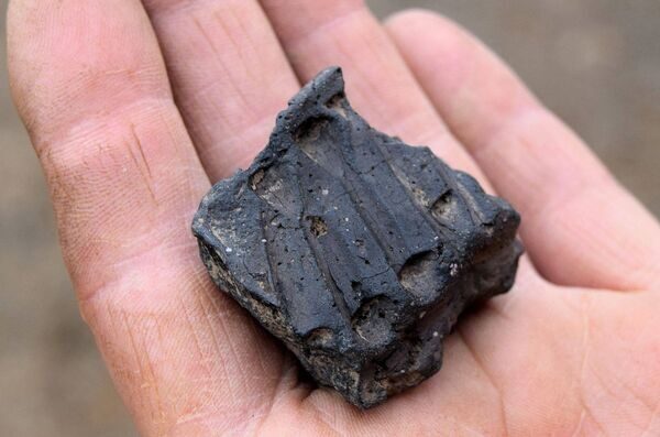
Pottery, stone tools and grain from the same period were also discovered at the site.
It's believed that farming knowledge would only have arrived in Ireland around 200 years before this community was established in the North Cork area.
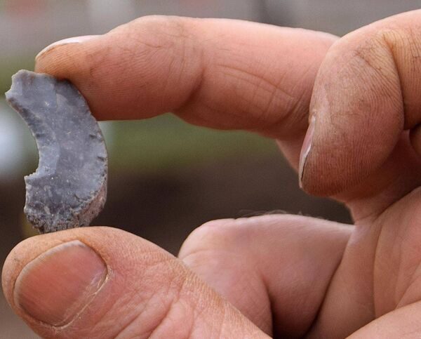
In the townland of Glencor South archaeologists discovered stone tools and pottery deliberately buried in holes during the Middle Neolithic era. They concluded this was some kind of ritual, which may have been associated with human burials, or offering gifts to the 'Gods of the Underworld'.
A number of charcoal pits were also discovered of varying ages at some of the sites in the townland of Waterdyke. Charcoal was needed to increase heat in the smelting process for the production of Iron. These sites were dated from 266AD through to 1214AD.
Smithy sites were found in both townlands dating back from the time when the road was first constructed in the late 17th century.
This suggested that they were set up to look after passing trade along the route, such as shoeing of horses, as well as looking after the needs of the indigenous community by providing metal tools to the mainly farming population.
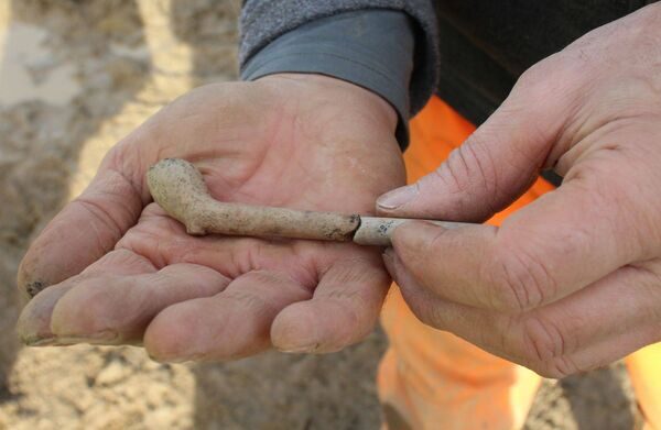
Other discoveries included what archaeologists believe could be a 17th-century enclosure as well as old clay pipes and glass.
The story map was created by Ken Hanley, TII project archaeologist, and Ed Lyne, Cork County Council resident archaeologist. Edel Ruttle and Graham Hull were the site excavation directors.
The results of the archaeologists' work have been published in an 'online story map' by Cork County Council, in conjunction with TII (Transport Infrastructure Ireland).
The online mapping site also includes details of previously disclosed archaeology discovered along the route of the new Macroom - Ballyvourney road, which is now under construction.
Details of both can be found at www.corkcoco.ie/en/news/tales-archaeological-discovery-along-n73-north-cork-bilingual.


Comment: See also: