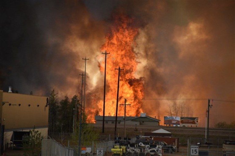
More than 88,000 people were evacuated, and 2,400 homes and buildings were destroyed in the inferno. It would become one of the costliest and most destructive wildfires in the country's history, but scientists had other reasons to pay close attention to it.
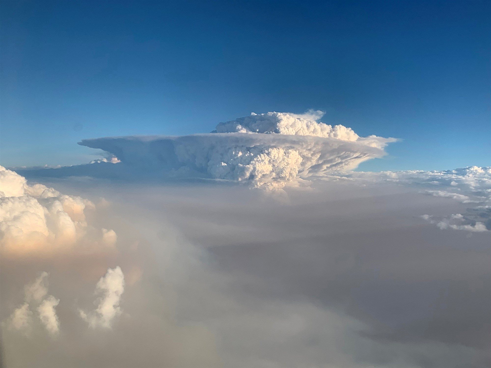
As the fire raged and threatened to engulf the community, The Beast started to exhibit some odd behavior, growing so intense that it spawned "fire clouds" that created their own weather.
The rare weather phenomenon has most recently been observed in southeastern Australia, where unprecedented wildfires have burned more than 27 million acres of land and where more than 100 blazes are still active. And scientists say they're seeing fire clouds more often as climate change makes fire seasons longer and wildfires more intense.
Comment: Rather than attributing the dramatic increase in wildfires and fire clouds to 'climate change', could a significant factor in the escalation of these events be that they are fueled from outgassing, and then possibly 'sparked' by an increase in atmospheric electric discharge events, such as lightning strikes and other 'cosmic' ignition sources?
Researchers are only beginning to understand the consequences.
A fire cloud, known as a pyrocumulonimbus cloud, or pyroCb, can generate thunder, lightning and tornado-force winds, as well as belch out burning embers — all of which can help spread already fast-moving fires.
Mike Fromm, a meteorologist at the Naval Research Laboratory in Washington, D.C., has been studying fire clouds for the past two decades, but he said his early research was met with disbelief.
"The whole idea of the pyroCb was completely foreign to the scientific community," he said. "Probably within the last 10 years, we've gone from a huge amount of skepticism to acceptance of the idea that the pyroCb not only exists but that it's a fairly regular phenomenon."
In that time, wildfire research has come a long way, but fire clouds have remained mysterious and understudied.
'Erratic, dangerous'
It's estimated that more than 980 million acres around the world burn every year in wildfires, according to Mike Flannigan, director of the Canadian Partnership for Wildland Fire Science at the University of Alberta in Edmonton. But it's not known what percentage of wildfires generate fire clouds.
When they break out, however, the results can be devastating.

On Feb. 7, 2009, a day that became known as "Black Saturday," six fire clouds broke out across the Australian state of Victoria in the midst of one of the continent's worst wildfires. And in 2018, California's deadly Carr fire was so intense that it unleashed a rare fire tornado with 143 mph-winds.
"That would have been a really damaging regular tornado, let alone adding fire to the mix," Flannigan said.
'A new reality'
Scientists aren't sure why some wildfires produce fire clouds while others don't, but they know that three ingredients are crucial: heat, dry conditions and wind.
Sometimes when a fire rages with enough intensity, it can create updrafts that pull ash, smoke and water vapor into an enormous column that funnels high into the atmosphere. As the hot air rises, it cools and condenses to form clouds, similar to what happens with regular thunderstorms.
"The fire itself has to be large enough to create this thermal bubble that is sufficient to break into the atmosphere and start this going," Fromm said.


Comment: Australian wildfires are so massive, they're generating their own weather patterns