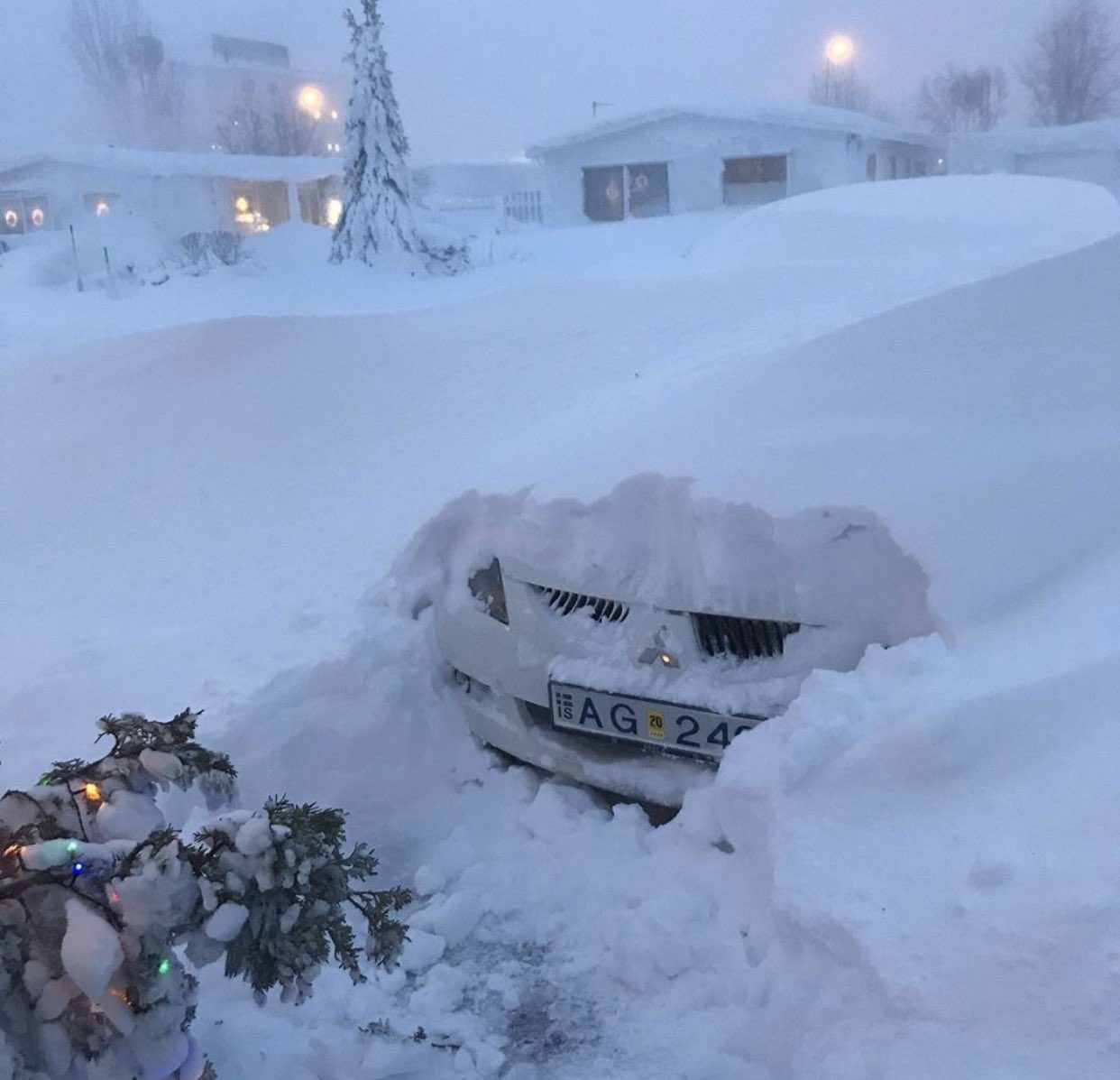
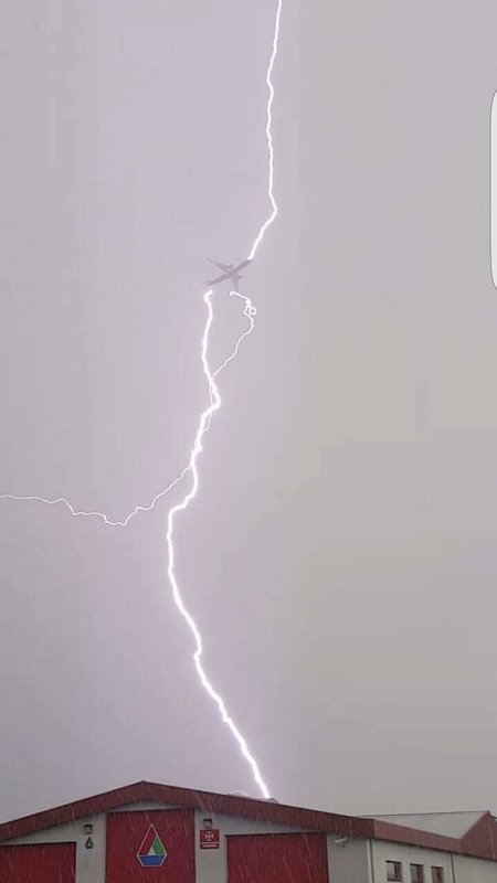
The storm was so severe that it prompted the Icelandic Met Office to issue an unprecedented "red alert."
"This was the first red alert we've issued with the new system, [which has been] used since 2017," said Hrafn Gudmundsson, a meteorologist with the Icelandic Met Office, in an interview. "We've basically only been using yellow and orange colors. The orange color was for pretty serious storms, but this one was a level higher, I would say."
The red alert was hoisted for northern parts of the country, while orange-level warnings covered the country's capital, Reykjavik. The storm's most intense impact struck on Tuesday.
"It was really windy in many places of course. There's a weather station on a mountain in the southwest that is pretty high up actually, so it's around [2,500 feet] above sea level, and we had [sustained] winds up to [130 mph]." Gusts reached as high as 149 mph at the station - Skálafell - which is about 20 miles east-northeast of Reykjavik.
There were preliminary reports that the winds there gusted to 159 mph, though that data has not yet been reviewed by Gudmundsson and his team.
Sustained winds hit 63 mph in Reykjavik proper. The storm exited the nation of 360,000 on Wednesday, though the impacts continue to be felt.
Impressive aftermath photos are coming in from Iceland, as the deep low has finally passed. This was taken in Reykholarreppur, NW Iceland.
— severe-weather.EU (@severeweatherEU) December 11, 2019
Photos sent to us by Julien Leclercq. Posted with permission. pic.twitter.com/qjzxJOB992
"There were really high winds everywhere in the country," said Gudmundsson. "In the upper highlands, and in the mountains... it was also very gusty in the southeastern part under the big glacier, [due to a] wave formation."
That's caused by the topography of the island and how it influences local wind dynamics. Winds there gusted as high as 90 to 100 mph.
To the north, sustained winds reached nearly 90 mph "in the far northeastern part" of the country.
Equally impressive were the mammoth snow totals that resulted. Or that are believed to have resulted, at least.
"Not much snow was actually measured because there was so little caught into the measurement gauge," Gudmundsson explained. Blame that on the storm's rather extreme winds. "In these conditions, it's just sort of blowing over the measurement gauges. There were a lot of snow drift and accumulations in places [but not] everywhere on the ground."
"There was a forecast around [10 feet] of snow accumulating in the mountains in the north. That was kind of the highest amounts in the forecast," Gudmundsson said. His office is reviewing reports to determine how much actual fell across the country.
Deep snow covered evening in Akureyri, #Iceland this evening 12th December! Photos by Beautifulplaces60 Insta; #snowstorm #snowfall pic.twitter.com/kjaZkLYDkF
— WEATHER/ METEO WORLD (@StormchaserUKEU) December 12, 2019
Numerous roads nationwide are still shut down or impassible.
The storm responsible for the wintry and windy wallop developed from an already powerful low pressure system lurking over the North Atlantic.
"The lowest pressure got down to 949 millibars on land," said Gudmundsson. Mean sea level air pressure is generally more than 1000 millibars. For comparison, Hurricane Sandy's landfall pressure in New Jersey in 2012 was 946 millibars - in the neighborhood of the Icelandic storm.
Among the most notable elements of the system was its connection to tropical moisture that spanned thousands of miles across the open ocean. That pipeline of water vapor rode in on a powerful low-level jet stream that raced overhead at more than 115 mph.
Gudmundsson has been working at the Icelandic Met Office since 2000. Iceland is typically a pretty stormy place, but he says what happened this week was not a typical Icelandic storm.
"I would say this is one of the most memorable," he said. "It's probably because of the impact. Of course we've had these storms before, but this is probably a ten-year storm."
Behind the storm, a chillier air mass is settling in and dropping overnight temperatures into the teens. That's sparking concern for the estimated 20,000 people who remain without power.
"The houses are cooling down in many places in the north, and we're having extremely cold conditions tomorrow," said Gudmundsson.
Deep winter scenes In Akureyri, Iceland this evening 11th December! Photos by 📸 Helgi Steinar Halldórsson and 📸 Athina Travel and good reporter IG #severeweather #blizzard #snowstorm pic.twitter.com/gOej3NJCXs
— WEATHER/ METEO WORLD (@StormchaserUKEU) December 11, 2019
In the meantime, the same large trough of low pressure that instigated Iceland's storm is working to stir up another. This one will target Ireland and the United Kingdom beginning Thursday night, lashing the coast with 20 to 30 foot waves and winds exceeding 70 mph.
Source: Washington Post


Comment: See also this earlier report: Cyclone in Iceland: Heavy snowfall, power outages and avalanche warnings