OF THE
TIMES
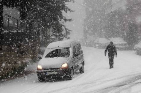
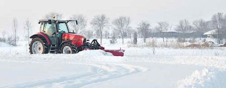
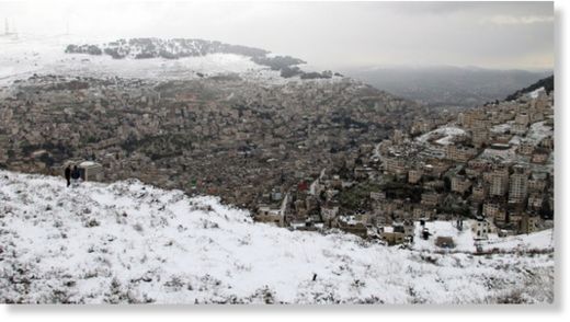
In 1971, long before Dr. Holdren came President Obama's science adviser, in an essay [titled] "Overpopulation and the Potential for Ecocide," Dr. Holdren and his co-author, the ecologist Paul Ehrlich, warned of a coming ice age.
They certainly weren't the only scientists in the 1970s to warn of a coming ice age, but I can't think of any others who were so creative in their catastrophizing. Although they noted that the greenhouse effect from rising emissions of carbon dioxide emissions could cause future warming of the planet, they concluded from the mid-century cooling trend that the consequences of human activities (like industrial soot, dust from farms, jet exhaust, urbanization and deforestation) were more likely to first cause an ice age. Dr. Holdren and Dr. Ehrlich wrote:The effects of a new ice age on agriculture and the supportability of large human populations scarcely need elaboration here. Even more dramatic results are possible, however; for instance, a sudden outward slumping in the Antarctic ice cap, induced by added weight, could generate a tidal wave of proportions unprecedented in recorded history.


