Extreme Temperatures
S


Snowflake Cold

Arctic blast blankets Fort St. John, BC with record snowfall

Crews clearing snow
© Bronwyn ScottCity crews clear snow at 102nd Street and 105th Avenue in Fort St. John Tuesday morning following Sunday's record snowfall.
It was a snowy weekend in Fort St. John and there's a new record to prove it.

According to Environment Canada, a total of 17 centimetres of the white stuff blanketed the city over the weekend, with a record 9.8 centimetres falling on Sunday on top of the seven centimetres that fell on Saturday.

Dawson Creek had only a light dusting of snow on Saturday, but saw 6.5 centimetres fall on Sunday.

"It was a good little Arctic front that passed over you guys," said Matt MacDonald, meteorologist with Environment Canada.

"It's been not the snowiest of winters up there, and, as I always caution people, March typically comes in like a lion, and I think it was a perfect example," he said.

The previous snowfall record for March 6 in Fort St. John was 6.6 centimetres in 1966.

El Nino Weakening, Expect La Nina Next year

Warmer temperatures are in the forecast for the rest of the week, with a high temperature of 7 C predicted for Wednesday in Fort St. John. The normal high for this time of year is -1 C, MacDonald said.

"So that's a good seven, eight degrees warmer than normal," he said.

It's typical of what we've seen this winter - "It's been very mild, been one of the mildest winters on record, and that's all owing to good old El Nino," he said.

Tornado1

Best of the Web: Signs of Change: Earth changes, extreme weather, and meteor fireballs in January and February 2016

Hawkkey Davis
© Hawkkey Davis, YouTube
Warning: This video contains graphic content - Viewer discretion advised.

Hawkkey Davis is back with another documentary of extreme weather, earth changes, and meteor fireball events from around the world in the first two months of 2016. This series does not mean to suggest that the world is ending, but that what is happening across the world is leading to bigger 'earth changes'.

If you're following the series, then you're seeing the signs. It's much more than one video; check out previous installments here.


Snowflake Cold

160% above seasonal norm: Moscow experiences one of its snowiest winters in history

Moscow snow
© Sergei Fadeichev/TASS
More than 160% of seasonal norm.

From March 3, 2016 the increase of fresh snow in the city was 245 cm (8 feet).

And there is still almost a month of winter weather.

This means this winter will be one of the snowiest in the annals of Moscow weather.

Thanks to Martin Siebert for this link

"Global Warming or Climate Change," says Martin. "I know."

Comment: Moscow has heaviest Spring snowstorm in over 50 years


Ice Cube

High winds invert waterfall in Catalonia, Spain, freezing nearby vegetation

inverted waterfall
© Twitter meteoprades ‏@meteoprades
Strong winds sweeping through Capafonts, Spain have created this amazing inverted waterfall on March 5, 2016.

Due to the frigid temperatures in the region, the water instantly freezes, covering the nearby vegetation with icicles despite any signs of winter around.

According to gravity water falls down.

frozen
However, if you add an additional factor, such as strong wind, the water can start flowing upwards:


Tornado2

Spectacular rare snow tornado filmed in Norway

“snownadoes”
Snow devils or "snownadoes" are extremely rare weather phenomena since they require very specific meteorological conditions to form.

Snow tornadoes are so rare that only six have ever been captured on camera and very little is known about them.

These twisting columns of snow are closely related to waterspouts since they form over either frozen lakes or snow-covered areas.

For snow devils to occur, the necessary conditions include a colder air mass passing over a relatively warmer surface heated by sunlight, and a low-level wind shear (change of wind speed or direction with height) or colliding air currents to get the rising air to spin.

A warmer surface causes the snow or ice to form fog or steam, and if there is a column of colder, low-pressure air above this fog, it will begin to rise, and the wind shear or currents will cause it to rotate and begin to pick up loose snow forming the recognizable funnel shape.


Snowflake

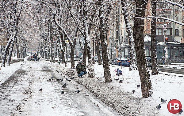
Moscow has heaviest Spring snowstorm in over 50 years

snow in Moscow
Snow in Moscow
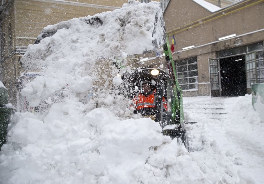
A heavy spring snowstorm hit the Moscow region last night. The unexpected weather conditions complicated the situation on Moscow roads and forced Domodedovo and Sheremetyevo airports to cancel more than a hundred flights.

Weather forecasters predict the strongest snowfall for the end of the week. According to Russia's meteorological service, such snowstorms occur in March once every 50 years.

The snowfall took Moscow's residents by surprise. Pedestrians heading to work are getting stuck in the snow, while many car owners have to dig their cars out of snow banks.

However, many people have not lost their sense of humor and shared their impressions on social networks.

Snowflake Cold

Met Office predicts sudden stratospheric warming to bring snap of cold weather over UK

Wintry weather
© UK Met Office
Meteorologists from the UK Met Office have predicted a sudden stratospheric warming (SSW) will occur in early March 2016. The phenomena could affect the surface weather, increasing the risk of prolonged wintry conditions over parts of northern Europe and the UK.

The sudden stratospheric warming (SSW) phenomenon is a rapid warming episode which takes place between 10 and 50 km (6.2 and 31 miles) of the Earth's atmosphere. During the warming, temperatures can climb for up to 50 °C in only a few days time.

SSW begins with a wave-like disturbance which travels into the high-altitude jet stream system, and can grow to a point to breaking, exhibiting similar behavior like the breaking beach waves. The jet stream usually flows in the west-to-east direction with some north and south oscillation. The disturbance can cause the winds to turn in the opposite direction. When that happens, the air falls into the Arctic and gets compressed, causing the rapid warming.

"Sudden stratospheric warming events occur high up in the atmosphere and involve a complete reversal of the high-altitude polar jet stream - they can even affect weather at the surface, and for the UK, a sudden stratospheric warming increases the risk of wintry weather," Professor Adam Scaife, Head of Monthly to Decadal Prediction explained.


Snowflake

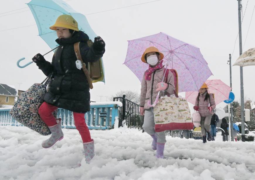
Massive snowstorm in Japan grounds 130 flights, leaves thousands without power

Snow in Japan
© Flickr/Takeshi Kuboki
The Japan's meteorological agency reported Tuesday that the Japanese island of Hokkaido has been severed hit by snowstorm that left 4,000 households without power and grounded over 130 flights.

A powerful snowstorm that hit the northern Japanese island of Hokkaido grounded over 130 flights and led to power outages in approximately 4,000 households on Tuesday.

The country's meteorological agency recorded up to 20 inches of precipitation over the past 24 hours, with over 15 inches of snow expected by early Wednesday.

A snow cyclone is accompanied by winds reaching the speed of up to 115 feet per second. Wave heights on the island's shore exceeded 25 feet.


Comment: Today, the country's meteorology agency warned citizens to brace for the worst blizzard in years.


Ice Cube

Global warming? Kurilskoye Lake in Kamchatka, Russia freezes for first time in 10 years

Kronotsky State Nature Reserve
© Kronotsky State Nature ReserveKonstantin Lepsky, state inspector of the Kronotsky State Nature Reserve: 'When we patrolled the area, we walked along the lake in snowshoes for about 18 kilometres.'
With thermal waters, and the warming effect of the nearby Sea of Okhotsk, this unusual lake normally does not freeze over. But this year its famous Steller's sea eagles have been forced to relocate because the ice holes in which they catch fish have frozen over. Two weeks of calm weather and low temperatures in February - of minus 20C - shackled the surface of the lake with a thick layer of ice.

Konstantin Lepsky, state inspector of the Kronotsky State Nature Reserve, said: 'When we patrolled the area, we walked along the lake in snowshoes for about 18 kilometres.

'From the observation tower at Travyanoy we looked around the horizon in all directions. The lake was completely frozen. Only in the mouth of the River Hakytsin could we see a little ice hole, where ducks and swans were swimming, and Steller's sea eagles were spotted.'

Most of the birds were forced to relocate to Avacha Bay, near Petropavlovsk-Kamchatsky. The lake formed in a caldera after two large volcanic explosions, one 41,500 radiocarbon years ago and the other around 6440 BC.

Snowflake Cold

Major winter storm coming Tuesday to central Canada

snow storm canada
© Paul Palmeter/CBCEnvironment Canada has issued winter storm warnings for Toronto, Hamilton, Montreal and Quebec City. Many areas in southern Ontario and Quebec could see heavy snow. Driving could be treacherous.
Environment Canada says a major winter storm is expected to sweep into parts of southern Ontario and southern Quebec on Tuesday, bringing heavy snow to some areas and freezing rain elsewhere.

Toronto, Hamilton, Montreal and Quebec City are under winter storm warnings. Windsor is under a snowfall warning, while Ottawa is under a winter storm watch.

Parts of Quebec including Montreal and Quebec City could get more than 30 centimetres of snow.

Environment Canada has issued a series of winter storm warnings and watches that cover a large swath of southern Ontario and southern Quebec.

The storm, travelling north from central United States, is expected to bring snow to southern Ontario on Tuesday afternoon and southern Quebec on Tuesday evening. Snow in Quebec will intensify overnight and continue Wednesday.

Environment Canada says drivers should be prepared for messy conditions.

"There may be a significant impact on rush hour traffic in urban areas," it says.