OF THE
TIMES
Briefly stated, the Gell-Mann Amnesia effect is as follows. You open the newspaper to an article on some subject you know well... You read the article and see the journalist has absolutely no understanding of either the facts or the issues. Often, the article is so wrong it actually presents the story backward—reversing cause and effect...
In any case, you read with exasperation or amusement the multiple errors in a story, and then turn the page to national or international affairs, and read as if the rest of the newspaper was somehow more accurate about Palestine than the baloney you just read. You turn the page, and forget what you know.
Why is none of this surprising while at the same time deeply disgusting ? Rhetorical question...
Quite the letter....someday if Israel keeps this nonsense up the will end of seeing their own demise !
Comment: The PTB have turned the US inside out and upside down. Its fate gathers speed. I couldn't agree more....The spineless twats in Congress...
"The UK foreign secretary has spoken out against sending soldiers from NATO countries to Ukraine to fight against the Russian army . He made the...
The Natonians apparently are only now realizing that there is a corollary of their Treaty stating that an attack on one of them is an attack on...
To submit an article for publication, see our Submission Guidelines
Reader comments do not necessarily reflect the views of the volunteers, editors, and directors of SOTT.net or the Quantum Future Group.
Some icons on this site were created by: Afterglow, Aha-Soft, AntialiasFactory, artdesigner.lv, Artura, DailyOverview, Everaldo, GraphicsFuel, IconFactory, Iconka, IconShock, Icons-Land, i-love-icons, KDE-look.org, Klukeart, mugenb16, Map Icons Collection, PetshopBoxStudio, VisualPharm, wbeiruti, WebIconset
Powered by PikaJS 🐁 and In·Site
Original content © 2002-2024 by Sott.net/Signs of the Times. See: FAIR USE NOTICE


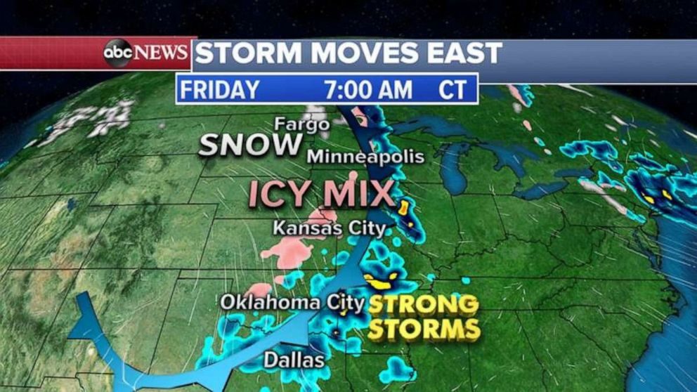
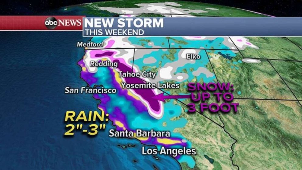
But, 'Storm Moves West'? Like 'man bites dog', that's news!