Temperatures have plummeted as a cold snap swept across the southeast of the country producing chilly conditions, strong winds and the potential for flash flooding.
After enjoying a warmer than average March, Sydney residents woke up to a frosty 12 degrees this morning after shivering through its coldest March night in the last two decades.
Last night the temperature dropped to 12.9 degrees in the city's CBD, only a touch warmer than what was recorded at the airport.
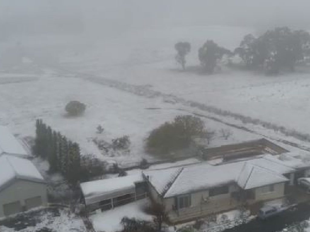
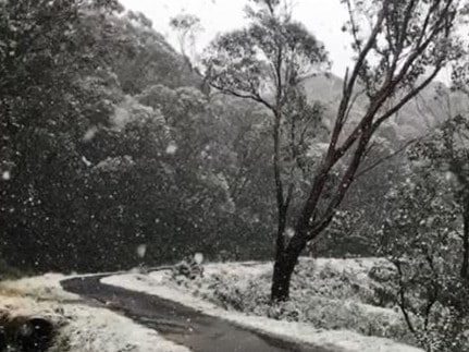
As the mercury plummeted, the first snow of the year fell with flurries beginning on Saturday at Perisher, as Thredbo received a dusting of snow.
Thredbo was one of the coldest places in the country where it recorded a minimum temperature of -4.2 degrees, an 18-year low for March.
First snowfall for the season 🙏❄️🤙 Who's excited? 😝 pic.twitter.com/IkZzSwva0j
— Thredbo (@ThredboResort) March 31, 2019
The weather is expected to remain cool for the rest of the week, with the exception of a balmy 27 degrees predicted for Thursday in Sydney.
The wintry chill also hit Canberra, where the temperature dropped to 3.9 degrees this morning.
The system brought the heaviest showers recorded in months to parts of South Australia, Tasmania and Victoria, with snow scattering on the peaks of Tasmania's highlands.
There was as much as 10-15cm of snow recorded near the peaks.
A high pressure system is building in the west of the country leading to warmer days and nights.
There was havoc in the heart of Hobart where a torrent powerful enough to push parked cars engulfed the city.
Two people had to be rescued from their cars despite the heavy rain, Nine News reports.
129 millimetres fell over the course of the night, the fifth time Hobart has recorded more than 100 millimetres since 1882.
A flood warning issued just after 10:30 this morning is still in place as moderate flooding at for NSW's Castlereagh River on Monday remains a possibility.
"Moderate flooding is possible at Coonamble on Monday," The Bureau of Meteorology warns on its website.
"The Castlereagh River at Gilgandra is likely to peak near the minor flood level (5.00 metres) late Sunday morning."
In Melbourne the cold weather welcomed a much needed reprieve as it eased fire threats across the state.
Over the weekend Melbourne reached a top of 15.6 degrees at 3:41pm, narrowly avoiding the city's coldest March day in 41 years at 15.3 degrees.
Snow fell at Mount Hotham and Falls Creek, with temperatures dipping to minus 4 degrees in parts of the state's Alpine region.
The drop in temperature came as a welcome relief for residents and firefighting crews near Ballarat.
Buildings and vehicles were destroyed on Friday as firefighters battled out-of-control fires at Mount Mercer and Bunkers Hill.
The fires have since been bought under control but advice messages are still in place for those areas as emergency service authorities have warned the fire danger period is not over, with temperatures expected to rise again into the mid-to-high 20s later this week.
— With AAP


Reader Comments
to our Newsletter