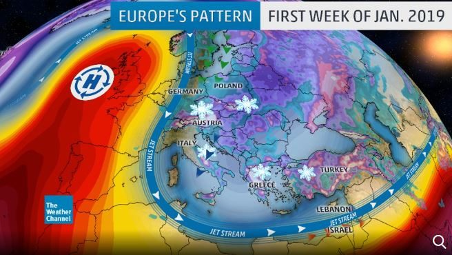
It started with a powerhouse storm sweeping in from the North Atlantic into Scandinavia and northern Europe as the new year arrived.
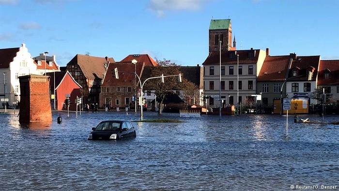
The so-called Storm Zeetje brought the first storm surge of the year on the Baltic coast of Germany and southern Denmark.
Strong onshore winds drove water levels up to 6 feet above normal in Wismar, Germany, on Jan. 2, flooding parts of the city center. Flooding was also reported in the coastal towns of Flensburg, Kiel and Travemunde, and storm surge drove water up the Trave River into the town of Lubeck.
Water levels in some parts of Denmark were the highest in two decades, the CPH Post reported. A 5- to 6-foot surge was measured at Bagenkop, on Langeland Island about 100 miles southwest of Copenhagen, a level only reached one other time in 42 years.
The pounding waves washed out sections of trails along the coast and partially sank boats along parts of the Baltic coast.

Feet of Snow
The system then took a sharp nosedive into eastern Europe, driving moist cold air into the higher elevations and wringing out prolific mountain snow over parts of the Alps and other mountain ranges of eastern and southern Europe.
Ski resorts on the Austrian Alps reported 3 to 7 feet of snow in the first days of January, prompting some resorts to close.
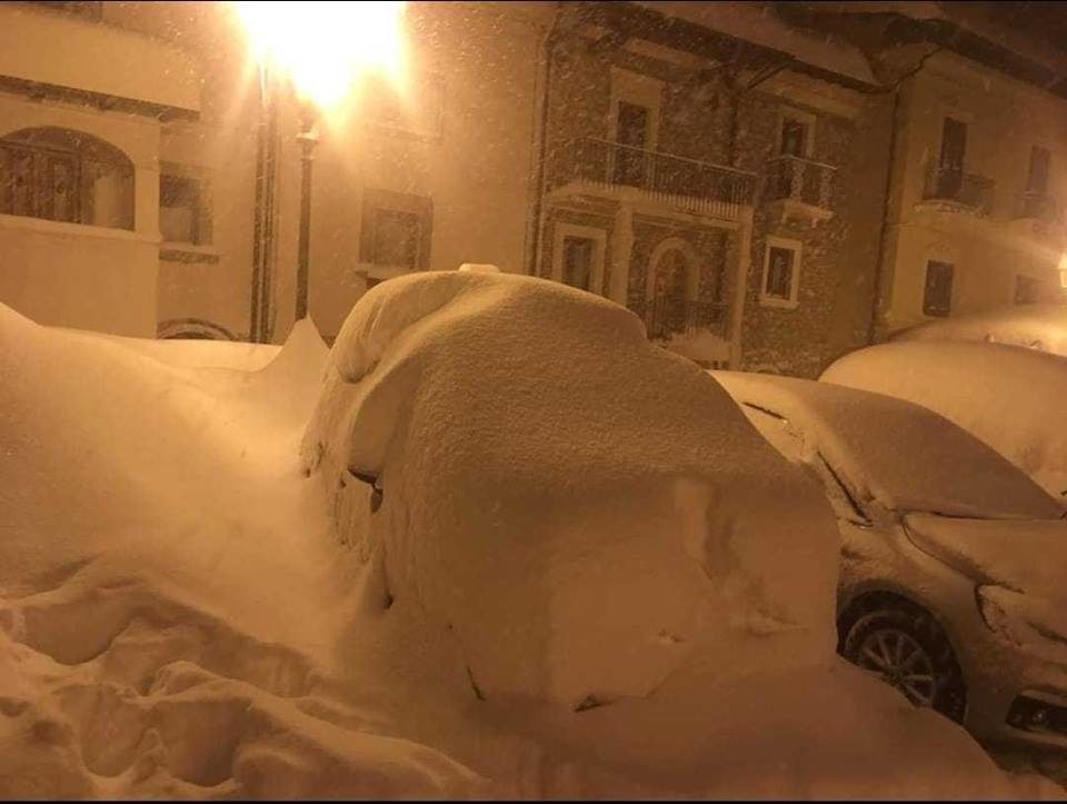
Photos and video showed snow-choked roads and parking lots, buried vehicles and blocked building entrances.
The heavy snow and persistent wind triggered several deadly avalanches.
"Probably one of the worst winters in the Alps for avalanches was January-February 1999," said Leon Brown, Head of Global Meteorological Operations with The Weather Company, an IBM Business.
According to Brown, up to 5 meters - approximately 16.4 feet - of snow built up in the Alps in less than a month's time 20 years ago, triggering thousands of avalanches.
"This current pattern with northwest winds and moisture from the North Atlantic and North Sea is similar and brings some of the highest avalanche risk to the northern side of the Alps," Brown said.
It wasn't just the Alps.
Feet of snow buried parts of southern Poland, including the resort town of Zakopane, near the border with Slovakia.
Cold, bora winds howling off the Balkans over the warmer Adriatic Sea generated sea-effect snow that pounded the Apennine Mountains of central and southern Italy.

At times, ground blizzard conditions were observed, resembling those you might see in America's northern Plains.
In this case, the air was cold enough to produce snow at some southern Italian beaches.
Heavy snow also triggered travel headaches in Greece, snarling travel through the mountains in northern and central Greece, even blanketing the city of Thessaloniki. Snow was even expected in the city of Athens Monday into Tuesday, leading to the shutdown of schools in the area, the Greek Reporter said.
Snow in Istanbul, Turkey, delayed flights Friday and Monday. Much heavier snow fell over mountain locations of central and eastern Turkey.
Ankara's Esenboga Airport reported 15 centimeters of snow - about 6 inches - on the ground Monday.
This impressive pattern also affected parts of the Middle East.
Heavy snow stranded motorists in the higher elevations of Lebanon Sunday and Monday, the Naharnet Newsdesk reported. Strong winds whipped up waves that battered the coast in Beirut.
Farther south, high winds whipped up dust, reducing visibility in Gaza City Sunday.


Comment: Adapt 2030 Ice Age Report: Jet streams pinched - desert snows USA, beach snows Mediterranean