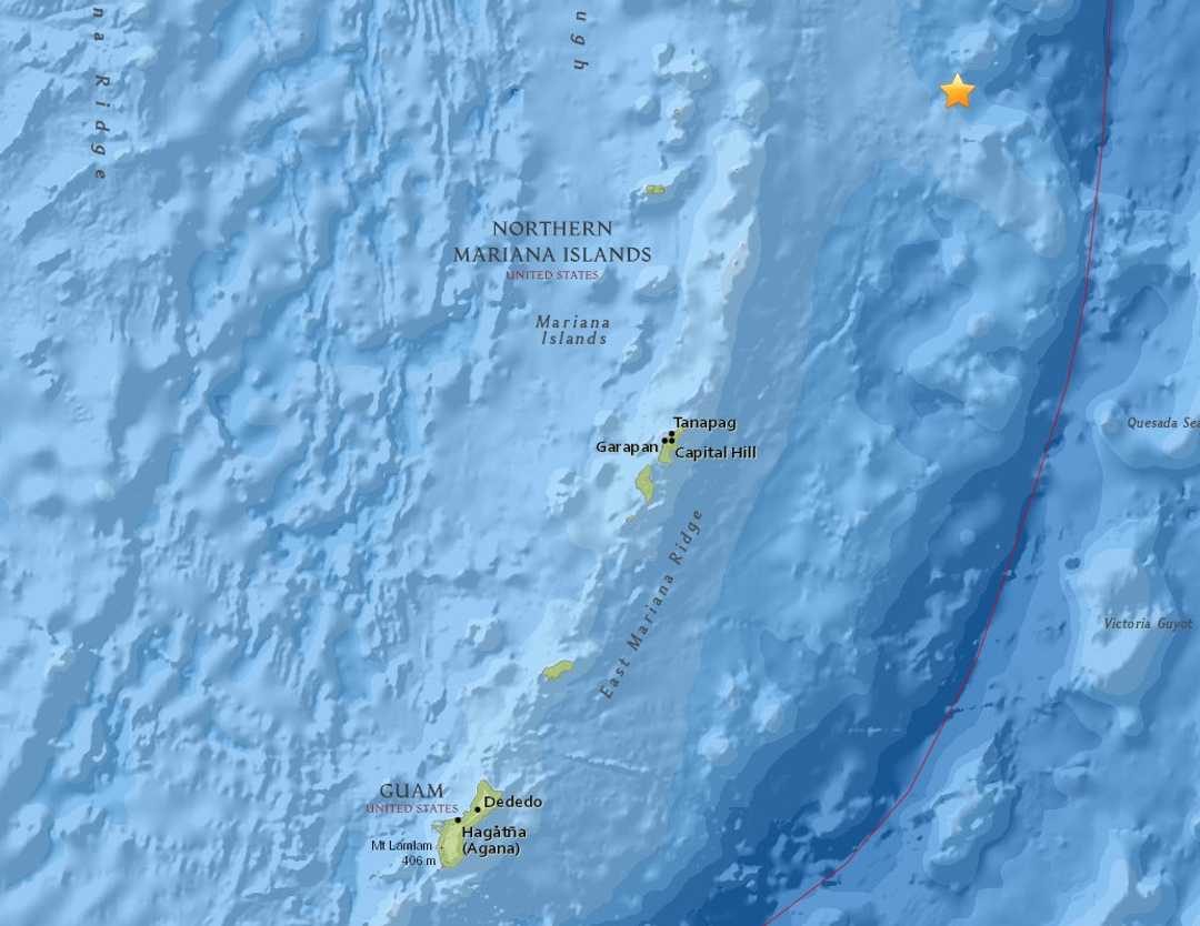
The 6.4 magnitude earthqauke struck about 33 miles deep at about 99 miles east-northeast of Anatahan, the agency states. USGS downgraded the magnitude, which was initially assessed as 6.6.
The earthquake could was felt on Guam and lasted about 30 seconds, with two strong jolts.
The Offices of Guam Homeland Security and Civil Defense, in a release, said there were no reports made to 911 of damages or injuries from the earthquake.
The National Weather Service said there is no tsunami threat to Guam or the CNMI from the earthquake, the release states.
The agencies remind the community that when an earthquake strikes, conduct the earthquake procedure, "Drop, cover and hold on" until the shaking stops.


Reader Comments
to our Newsletter