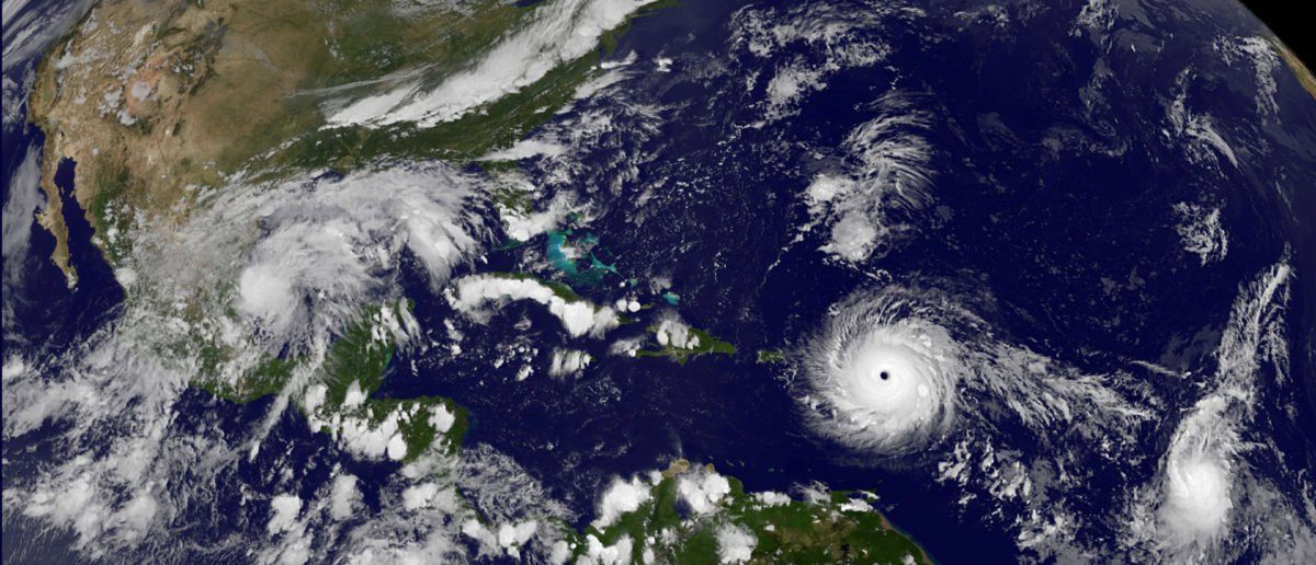
Irma is larger than Florida, the very state forecasts show it reaching by the weekend, according to CBS News weather producer David Parkinson.
Florida is about 65,755 square miles, which means Irma is also bigger than other states, including Ohio and New York. Ohio is 44,825 square miles and New York is 54,556 square miles.
The islands of St. Martin and Anguilla fit almost entirely within Irma's eye as it passed over them Wednesday morning. Irma brought 185-mile-per-hour winds that whipped rain and ripped through trees.
Irma is expected to reach Florida as early as Friday. President Donald Trump and Florida Gov. Rick Scott both issued emergency declarations for all 67 counties in the state.
Scott mobilized the National Guard, and Florida officials ordered mandatory evacuations for the state's southernmost counties. Irma is expected to hit Florida as a Category 3 storm with wind speeds higher than 110 miles per hour.


Reader Comments
to our Newsletter