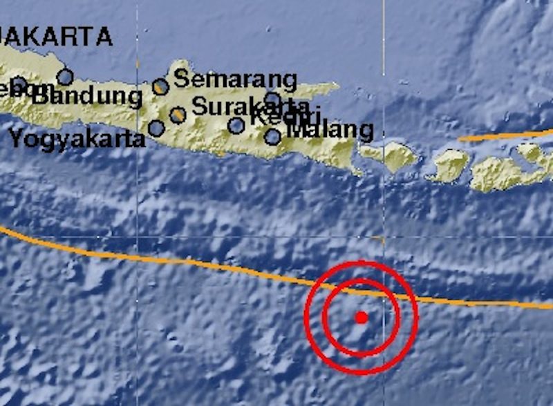
Bali's Meteorology, Climatology and Geophysics Agency (BMKG) recorded the quake's epicenter as 334 kilometers southwest of Denpasar, at a depth of 10 kilometers. Most people likely slept through the small shakes, but the quake was reportedly felt in the Denpasar area.
The earthquake was not flagged for tsunami potential and there have been no reports so far of major damage or victims following the earthquake.


Comment: Other shallow earthquakes (10 kilometre depth) recently reported were a 4.8-magnitude quake in western Sudan and a 4.2 near the island of Rhodes in Greece