OF THE
TIMES
"The purpose of GLADIO was to attack civilians, the people - women, children, innocent people, unknown people, far removed from any political game. The reason was quite simple: to force the public to turn to the State and demand greater security. Under a strategy of tension, you 'destabilize in order to stabilize', to create tension within society and promote conservative, reactionary social and political tendencies."
~ Italian neo-fascist whose prosecution led to the discovery of NATO's 'Gladio' networks across Western Europe
Did anyone check Wiki? Has his death as today. Quick edit?
My cat recently died from diabetes. She was fed expensive kibble all her life. The problem is not Meat content but the fact that all of it is...
The author reviews how behavioral psychology has been used to manipulate people. However, he does not state the obvious fact, that all of the...
Astrology of Iran President Raisi’s Air Accident [Link]
That's why certain parts of the UK media used to be (still are?) referred to as the gutter press because of the nasty viscousness of their...
To submit an article for publication, see our Submission Guidelines
Reader comments do not necessarily reflect the views of the volunteers, editors, and directors of SOTT.net or the Quantum Future Group.
Some icons on this site were created by: Afterglow, Aha-Soft, AntialiasFactory, artdesigner.lv, Artura, DailyOverview, Everaldo, GraphicsFuel, IconFactory, Iconka, IconShock, Icons-Land, i-love-icons, KDE-look.org, Klukeart, mugenb16, Map Icons Collection, PetshopBoxStudio, VisualPharm, wbeiruti, WebIconset
Powered by PikaJS 🐁 and In·Site
Original content © 2002-2024 by Sott.net/Signs of the Times. See: FAIR USE NOTICE

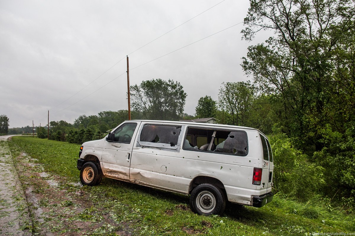


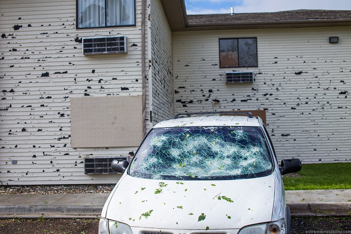


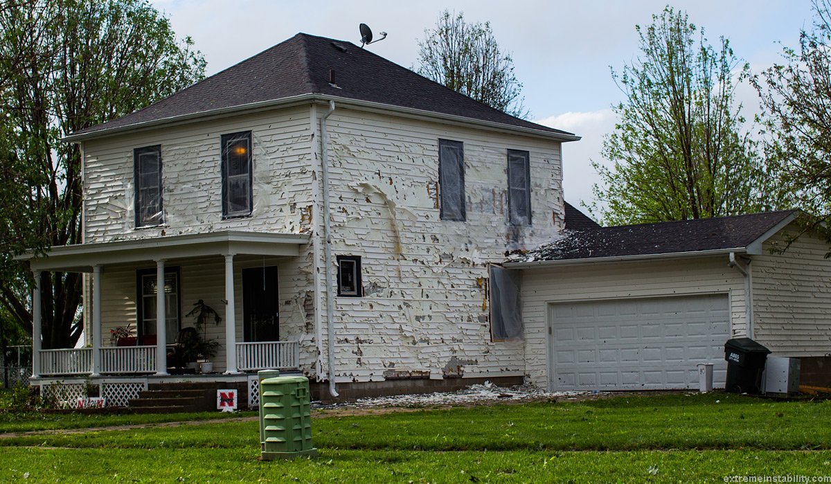


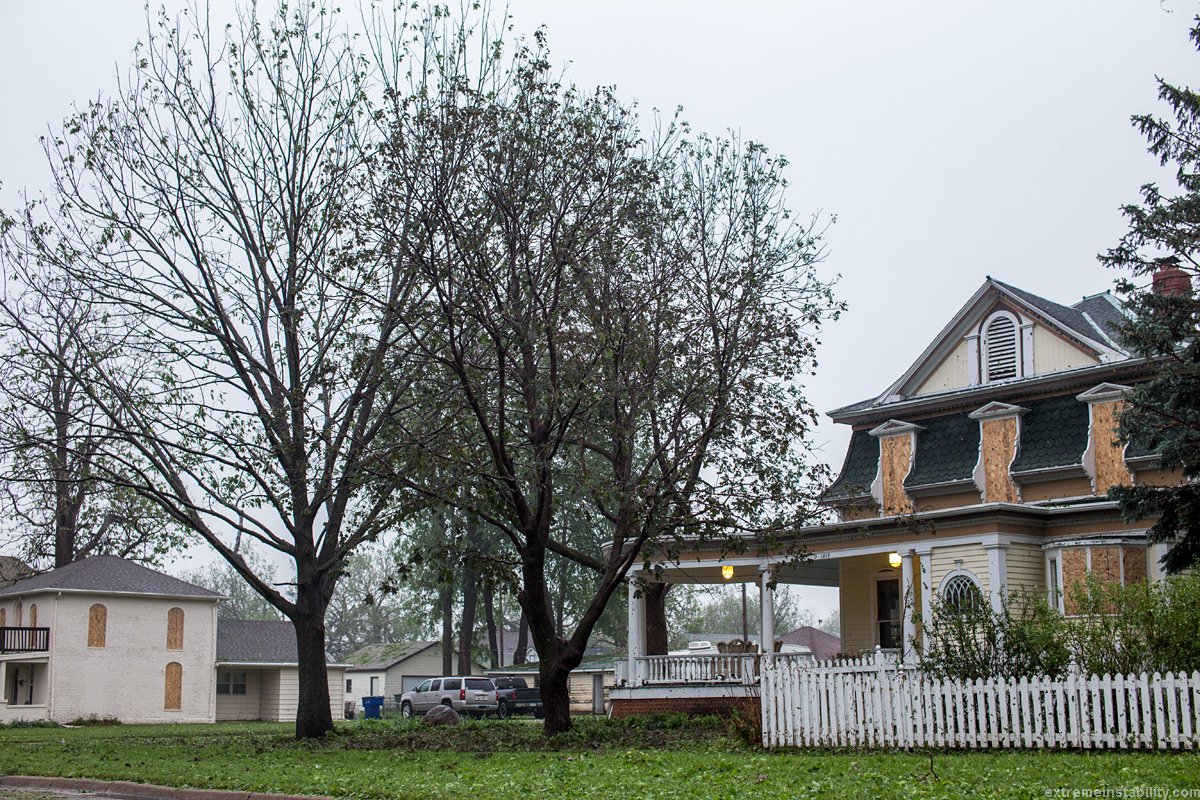
Comment: See also: Baseball-sized hail strikes Nebraska during storm