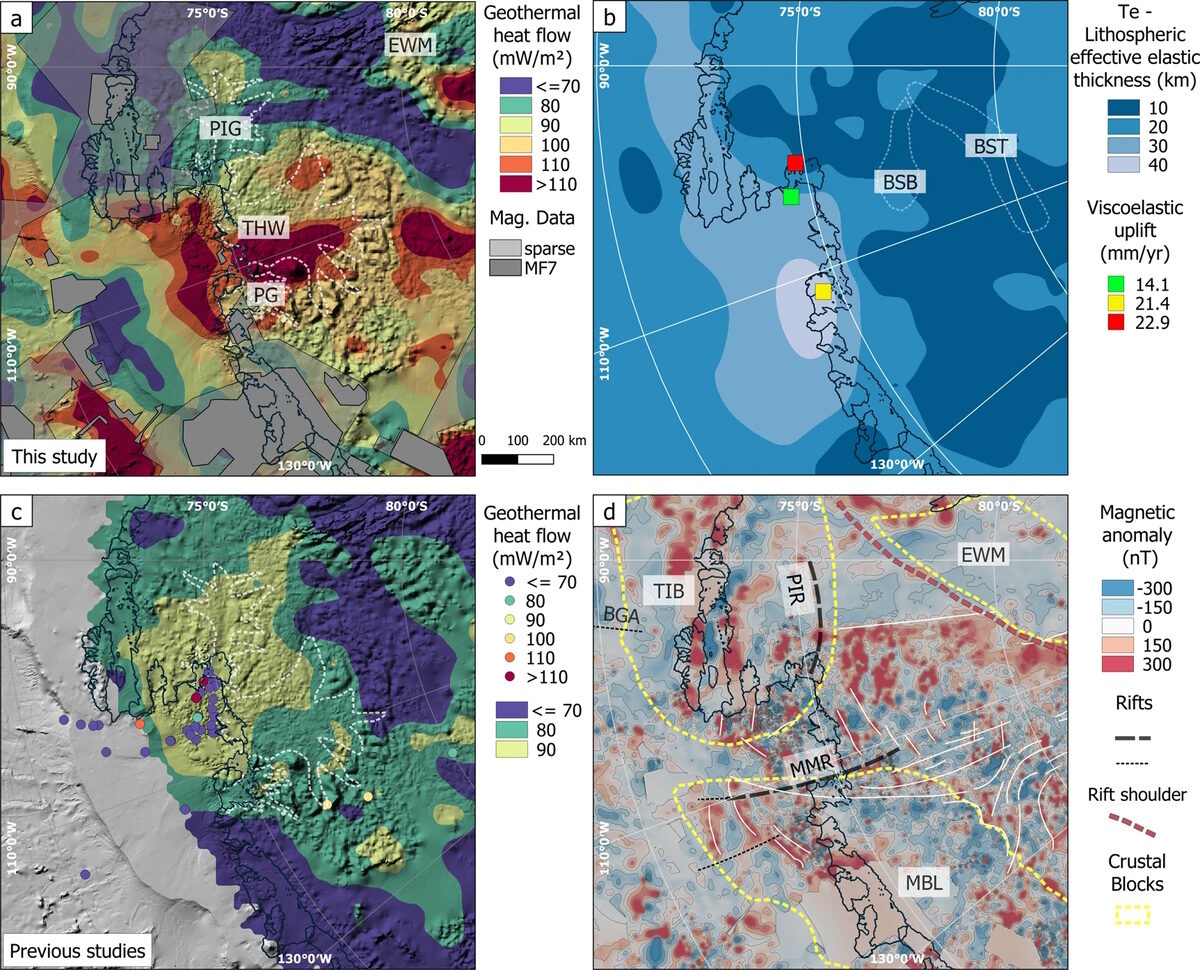
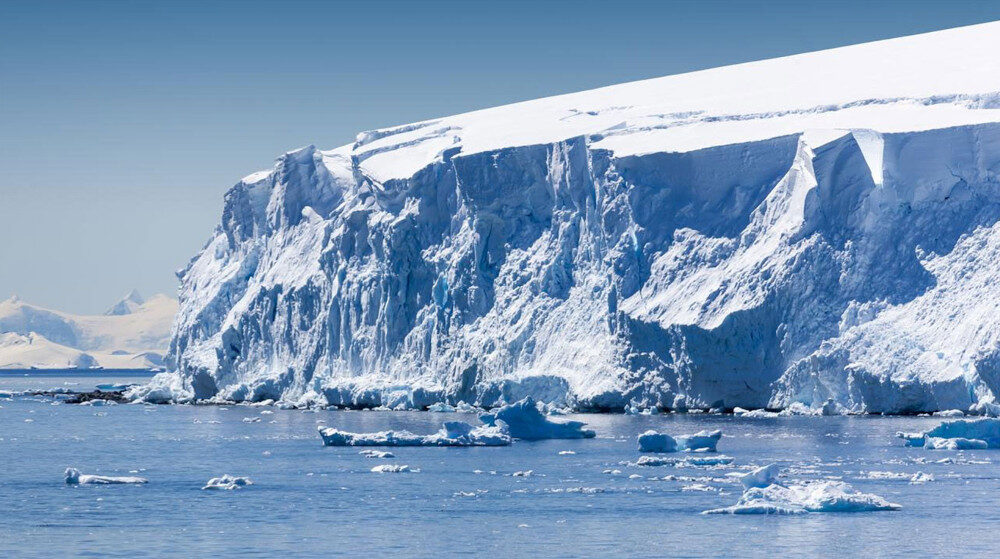
The Thwaites, Pine Island, and Pope Glaciers in the Amundsen Sea region of West Antarctica are all situated on a hotbed of active geothermal heat flux, which has led to anomalously high regional melt rates. Indeed, "there is a conspicuously large amount of heat from Earth's interior beneath the ice" in the very locations where the ice melt is most pronounced.
While the Earth's crust has an average thickness of about 40 km, in the Thwaites-Pine Island-Pope Glacier region the anomalously thinner crust (10 to 18 km) more readily exposes the base of the ice to 580°C tectonic trenches. The "elevated geothermal heat flow band is interpreted as caused by an anomalously thin crust underlain by a hot mantle," which is exerting a "profound influence on the flow dynamics of the Western Antarctic Ice Sheet" (Dziadek et al., 2021).

But a new study categorically undermines claims that the ice melt occurring in the Thwaites-Pine Island-Pope Glacier region is unusual, unprecedented, or unnatural.
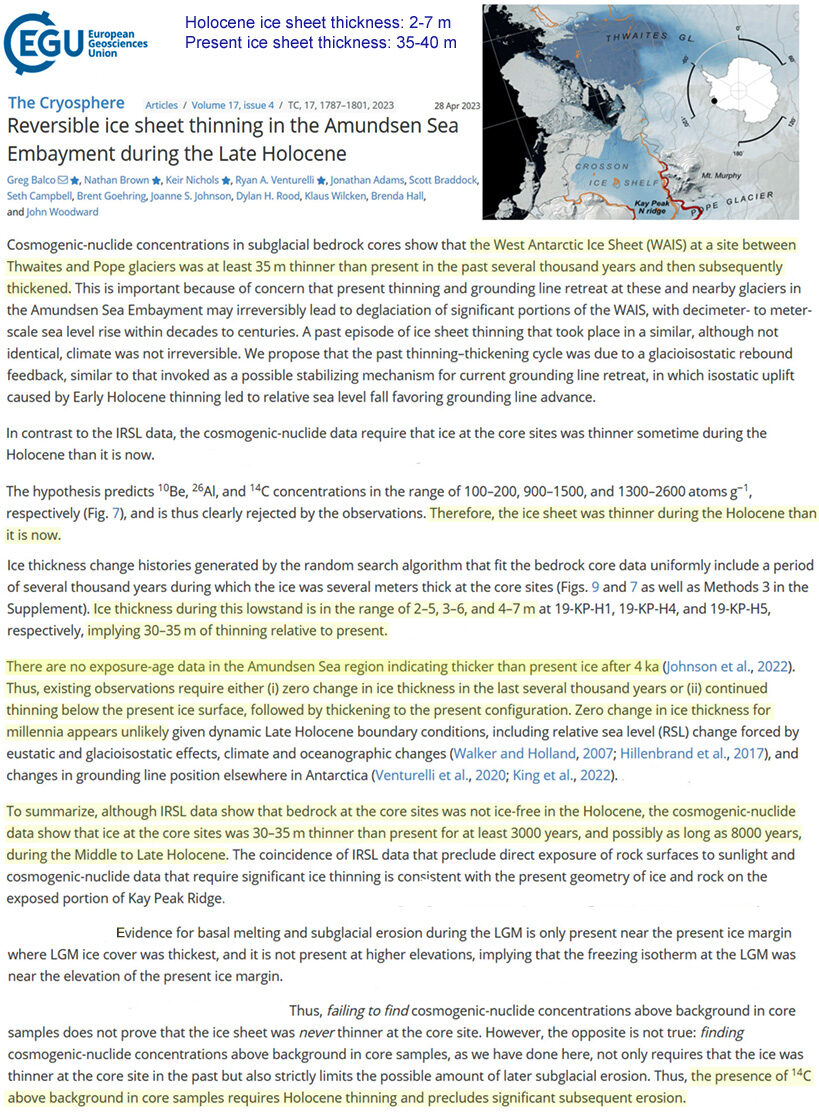
The thickness of the ice sheet at this Amundsen Sea region site averages about 40 m today.
Scientists (Balco et al., 2023) have used cosmogenic-nuclide concentrations and bedrock cores to determine the ice sheet is presently around 8 times thicker than it was for most of the last 8,000 years of the Holocene, when the ice thickness ranged between 2 m and 7 m.
"...the West Antarctic Ice Sheet (WAIS) at a site between Thwaites and Pope glaciers was at least 35m thinner than present in the past several thousand years"
Image Source: Balco et al., 2023
Even more interesting, the scientists found there are "no exposure-age data in the Amundsen Sea region indicating thicker than present ice after 4 ka," suggesting that the present thickness is close to the most pronounced it has been over the last 4,000 years.
Any ice melt from this region, then, is not only natural, but the opposite of "unprecedented." The scientists thus characterize modern changes to the West Antarctic ice sheet as "reversible" instead.


Comment: