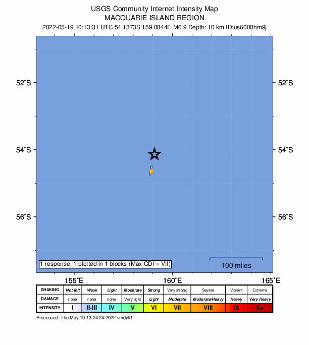
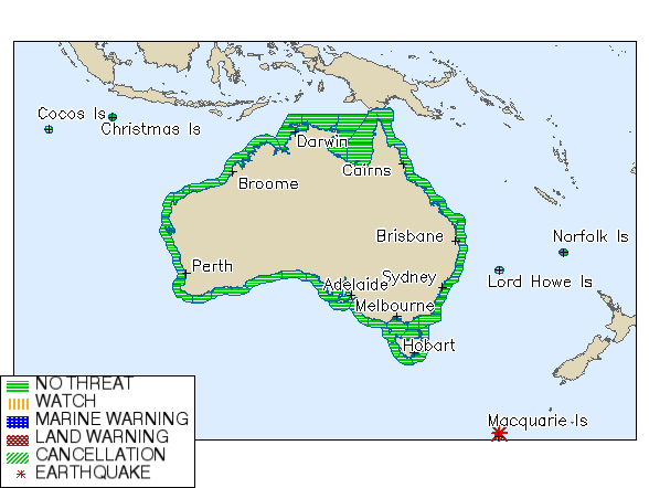
The Bureau of Meteorology reported the earthquake near Macquarie Island in the Southern Pacific Ocean at 8:49pm on Thursday (AEDT).
The quake, which was revised from an initial magnitude of 7.4, had a depth of 10km, according to the United States Geological Survey (USCS).
There are no tsunami warnings in place for Australia.Update: #Tsunami Watch cancelled after magnitude 6.9 #earthquake near Macquarie Island, Southern Ocean. Latest info here: https://t.co/i5DML5Dtsj. pic.twitter.com/e9dHb1E3qc
— Bureau of Meteorology, Australia (@BOM_au) May 19, 2022
Macquarie Island is located 1,600km southeast of Tasmania, about halfway between New Zealand and Antarctica.
It became a Tasmanian State Reserve in 1978 and was inscribed as a UNESCO World Heritage Site in 1997.


But there's a difference in wave amplitude?